1684 Southeast Rd Block Island, RI 02807
Estimated Value: $1,835,579 - $2,196,000
4
Beds
3
Baths
2,168
Sq Ft
$956/Sq Ft
Est. Value
About This Home
This home is located at 1684 Southeast Rd, Block Island, RI 02807 and is currently estimated at $2,073,645, approximately $956 per square foot. 1684 Southeast Rd is a home with nearby schools including Block Island School.
Ownership History
Date
Name
Owned For
Owner Type
Purchase Details
Closed on
Oct 5, 2012
Sold by
Kaupe Ex Christina
Bought by
Dewey Jabez
Current Estimated Value
Purchase Details
Closed on
Dec 1, 2004
Sold by
Ostrow Robert and Ostrow Melissa
Bought by
Holland Robert
Home Financials for this Owner
Home Financials are based on the most recent Mortgage that was taken out on this home.
Original Mortgage
$775,000
Interest Rate
5.69%
Mortgage Type
Purchase Money Mortgage
Create a Home Valuation Report for This Property
The Home Valuation Report is an in-depth analysis detailing your home's value as well as a comparison with similar homes in the area
Home Values in the Area
Average Home Value in this Area
Purchase History
| Date | Buyer | Sale Price | Title Company |
|---|---|---|---|
| Dewey Jabez | $510,000 | -- | |
| Dewey Jabez | $765,000 | -- | |
| Holland Robert | $1,550,000 | -- |
Source: Public Records
Mortgage History
| Date | Status | Borrower | Loan Amount |
|---|---|---|---|
| Previous Owner | Holland Robert | $775,000 |
Source: Public Records
Tax History Compared to Growth
Tax History
| Year | Tax Paid | Tax Assessment Tax Assessment Total Assessment is a certain percentage of the fair market value that is determined by local assessors to be the total taxable value of land and additions on the property. | Land | Improvement |
|---|---|---|---|---|
| 2024 | $6,815 | $1,234,600 | $422,500 | $812,100 |
| 2023 | $7,432 | $1,234,600 | $422,500 | $812,100 |
| 2022 | $7,809 | $1,102,960 | $749,920 | $353,040 |
| 2021 | $7,390 | $1,102,960 | $749,920 | $353,040 |
| 2020 | $7,015 | $1,102,960 | $749,920 | $353,040 |
| 2019 | $6,794 | $1,102,960 | $749,920 | $353,040 |
| 2018 | $6,894 | $1,158,720 | $749,920 | $408,800 |
| 2017 | $6,790 | $1,158,720 | $749,920 | $408,800 |
| 2016 | $6,628 | $1,158,720 | $749,920 | $408,800 |
| 2015 | $8,723 | $1,583,200 | $1,054,600 | $528,600 |
| 2014 | $8,454 | $1,583,200 | $1,054,600 | $528,600 |
| 2013 | $8,248 | $1,583,200 | $1,054,600 | $528,600 |
Source: Public Records
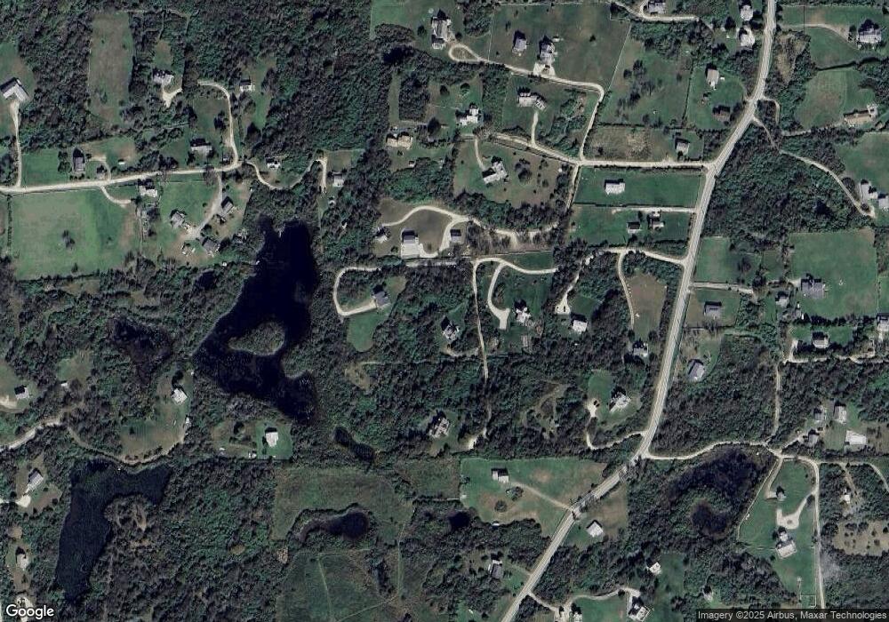
Map
Nearby Homes
- 0 Pilot Hill Rd
- 0 Spring St
- 0 Southeast Rd Unit 1381406
- 194 Pilot Hill Rd
- 804 Mohegan Trail
- 1289 High St
- 1661 Sand Pond Rd
- 0 Mohegan Trail
- 256 High St
- 1035 Mohegan Trail
- 1448 Mohegan Trail
- 1087 Lakeside Dr
- 481 Old Town Rd
- 0 Snake Hole Rd
- 1501 Beacon Hill Rd
- 1328 Cooneymus Rd
- 1743 Corn Neck Rd
- 0 Coast Guard Rd
- 1557 W Side Rd
- 1596 W Side Rd
- 1685 Southeast Rd
- 1683 Southeast Rd
- 1681 Southeast Rd
- 1681 Spring St
- 1640 Southeast Rd
- 1266 Southeast Rd
- 998 Southeast Rd
- 407 Pilot Hill Rd
- 1680 Spring St
- 1641 Spring St
- 318 Pilot Hill Rd
- 1155 Pilot Hill Rd
- 1628 Southeast Rd
- 406 Pilot Hill Rd
- 320 Southeast Rd
- 329 Southeast Rd
- 319 Southeast Rd
- 409 Pilot Hill Rd
- 402 Pilot Hill Rd