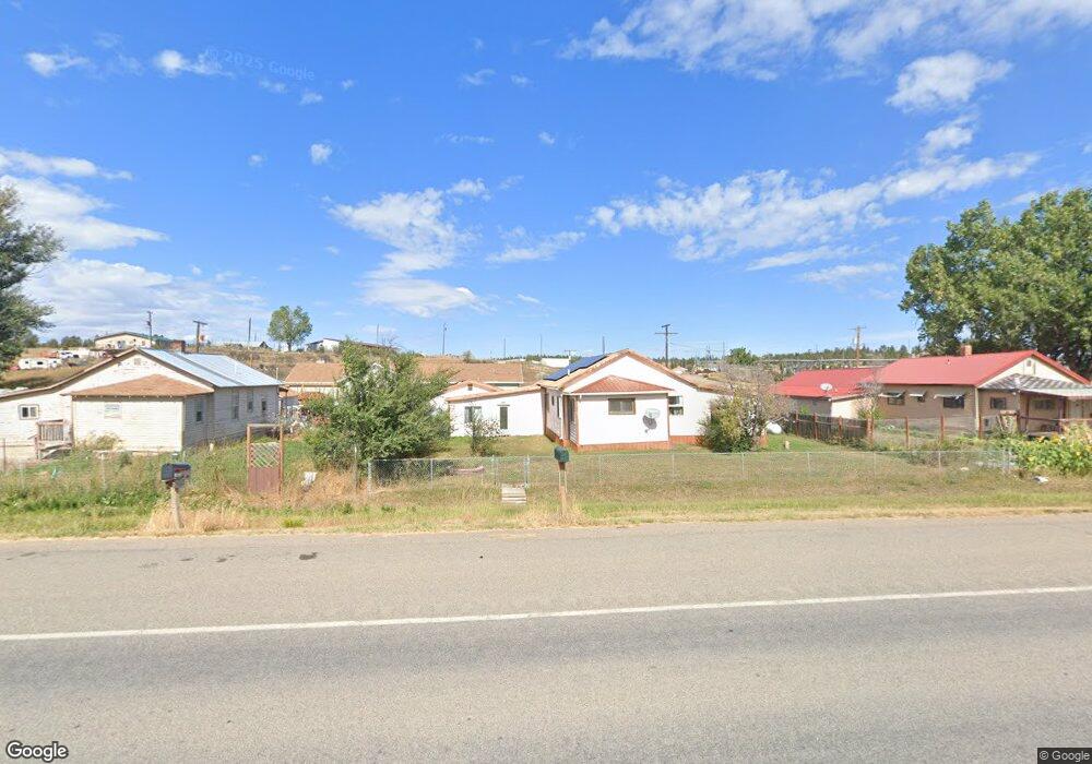
16841 U S 12 Roundup, MT 59072
Estimated Value: $227,000 - $312,000
5
Beds
3
Baths
3,120
Sq Ft
$84/Sq Ft
Est. Value
About This Home
This home is located at 16841 U S 12, Roundup, MT 59072 and is currently estimated at $262,733, approximately $84 per square foot. 16841 U S 12 is a home located in Musselshell County with nearby schools including Roundup Elementary School, Roundup Junior High School, and Roundup High School.
Ownership History
Date
Name
Owned For
Owner Type
Purchase Details
Closed on
Sep 28, 2017
Bought by
Mayo Shirley J Pr and Hunt Louise R
Current Estimated Value
Purchase Details
Closed on
May 12, 2006
Bought by
Hunt Merle E and Ditonno Anthony
Create a Home Valuation Report for This Property
The Home Valuation Report is an in-depth analysis detailing your home's value as well as a comparison with similar homes in the area
Purchase History
| Date | Buyer | Sale Price | Title Company |
|---|---|---|---|
| Mayo Shirley J Pr | -- | -- | |
| Hunt Merle E | -- | -- |
Source: Public Records
Tax History
| Year | Tax Paid | Tax Assessment Tax Assessment Total Assessment is a certain percentage of the fair market value that is determined by local assessors to be the total taxable value of land and additions on the property. | Land | Improvement |
|---|---|---|---|---|
| 2025 | $952 | $196,997 | $0 | $0 |
| 2024 | $1,060 | $136,900 | $0 | $0 |
| 2023 | $838 | $136,900 | $0 | $0 |
| 2022 | $1,110 | $132,682 | $0 | $0 |
| 2021 | $882 | $132,682 | $0 | $0 |
| 2020 | $853 | $123,597 | $0 | $0 |
| 2019 | $1,072 | $123,597 | $0 | $0 |
| 2018 | $1,319 | $124,000 | $0 | $0 |
| 2017 | $1,406 | $124,000 | $0 | $0 |
| 2016 | $952 | $75,100 | $0 | $0 |
| 2015 | $569 | $75,100 | $0 | $0 |
| 2014 | $659 | $48,581 | $0 | $0 |
Source: Public Records
Map
Nearby Homes
- TBD 6th St W
- 215 3rd St W
- 420 3rd St W
- 606 3rd St W
- 28 lots 10th Ave W
- 1020 5th St W
- 511 3rd St E
- 1023 1st St W
- tbd W 4th Street Summit
- NHN 3rd St E
- 86 Winchester MT Remington Trail
- TBD Hwy 12 E
- 45 Winchester Dr
- 24 Klein Rd
- tbd Number 4 Rd
- 46 S Woodland Rd
- 34 N Woodland Rd
- 61 Quail Dr
- 127 Quail Dr
- TBD Parcel 38 Rdp Mesa Sub Phase 1
Your Personal Tour Guide
Ask me questions while you tour the home.