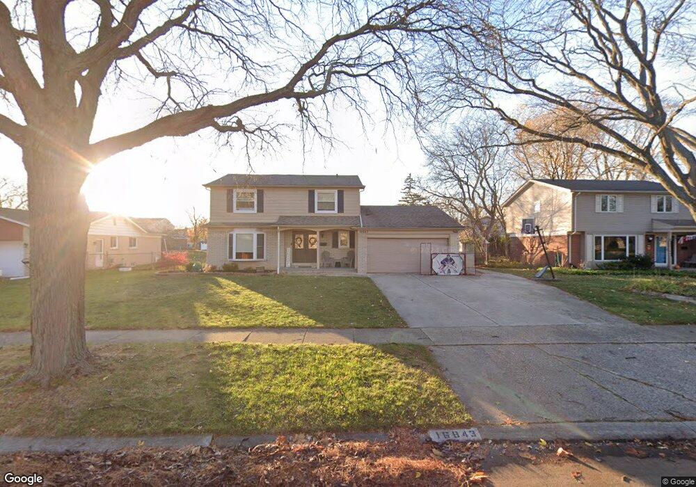
16843 Woodside St Unit Bldg-Unit Livonia, MI 48154
Coventry Gardens NeighborhoodEstimated Value: $405,399 - $424,000
4
Beds
3
Baths
1,997
Sq Ft
$209/Sq Ft
Est. Value
About This Home
This home is located at 16843 Woodside St Unit Bldg-Unit, Livonia, MI 48154 and is currently estimated at $417,100, approximately $208 per square foot. 16843 Woodside St Unit Bldg-Unit is a home located in Wayne County with nearby schools including Hoover Elementary School, Riley Upper Elementary School, and Holmes Middle School.
Ownership History
Date
Name
Owned For
Owner Type
Purchase Details
Closed on
Jul 19, 2019
Sold by
Shkreli Lesh and Shkreli Djela
Bought by
Wisniewski Jeffrey and Wisniewski Jessica
Current Estimated Value
Home Financials for this Owner
Home Financials are based on the most recent Mortgage that was taken out on this home.
Original Mortgage
$227,000
Outstanding Balance
$198,790
Interest Rate
3.8%
Mortgage Type
New Conventional
Estimated Equity
$218,310
Create a Home Valuation Report for This Property
The Home Valuation Report is an in-depth analysis detailing your home's value as well as a comparison with similar homes in the area
Home Values in the Area
Average Home Value in this Area
Purchase History
| Date | Buyer | Sale Price | Title Company |
|---|---|---|---|
| Wisniewski Jeffrey | $285,000 | Cislo Title Company |
Source: Public Records
Mortgage History
| Date | Status | Borrower | Loan Amount |
|---|---|---|---|
| Open | Wisniewski Jeffrey | $227,000 |
Source: Public Records
Tax History Compared to Growth
Tax History
| Year | Tax Paid | Tax Assessment Tax Assessment Total Assessment is a certain percentage of the fair market value that is determined by local assessors to be the total taxable value of land and additions on the property. | Land | Improvement |
|---|---|---|---|---|
| 2025 | $3,472 | $183,700 | $0 | $0 |
| 2024 | $3,472 | $174,400 | $0 | $0 |
| 2023 | $3,312 | $161,400 | $0 | $0 |
| 2022 | $5,912 | $148,800 | $0 | $0 |
| 2021 | $5,750 | $140,800 | $0 | $0 |
| 2019 | $4,742 | $130,200 | $0 | $0 |
| 2018 | $2,775 | $122,100 | $0 | $0 |
| 2017 | $5,540 | $119,400 | $0 | $0 |
| 2016 | $5,379 | $114,200 | $0 | $0 |
| 2015 | $8,680 | $106,220 | $0 | $0 |
| 2012 | -- | $82,130 | $20,400 | $61,730 |
Source: Public Records
Map
Nearby Homes
- 16400 Levan Rd
- 16508 Fairway St
- 16588 Ronnie Ln
- 37042 Bennett St
- 37281 Bristol St
- 35700 Bennett St
- 37361 Bristol St
- 16262 Wayne Rd
- 15524 Golfview St
- 37502 Ladywood St
- 18529 Westbrook Dr
- 37484 N Laurel Park Dr
- 37800 N Laurel Park Dr
- 35330 Lancashire Ct
- 18237 University Park Dr
- 16114 Alpine Dr
- 18035 University Park Dr Unit 56
- 16036 Alpine Dr
- 15034 Golfview Dr
- 15597 Nola Cir
- 16843 Woodside St
- 16875 Woodside St
- 16811 Woodside St
- 16854 Levan Rd
- 16822 Levan Rd
- 16901 Woodside St
- 16779 Woodside St
- 16886 Levan Rd
- 16812 Woodside St
- 16844 Woodside St
- 16800 Woodside St
- 16918 Levan Rd
- 16751 Woodside St
- 16933 Woodside St
- 16876 Woodside St
- 16758 Levan Rd
- 16752 Woodside St
- 16944 Levan Rd
- 16902 Woodside St
- 16835 Westbrook St