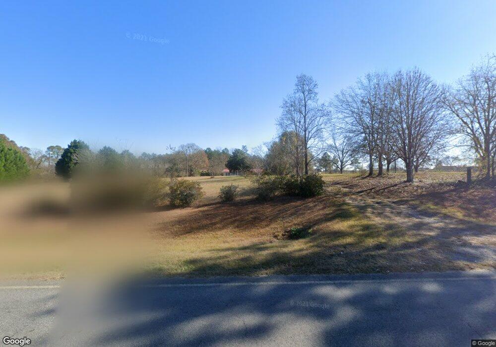
16844 Ga Highway 112 Rochelle, GA 31079
Estimated Value: $172,000 - $210,000
--
Bed
2
Baths
1,720
Sq Ft
$109/Sq Ft
Est. Value
About This Home
This home is located at 16844 Ga Highway 112, Rochelle, GA 31079 and is currently estimated at $188,050, approximately $109 per square foot. 16844 Ga Highway 112 is a home located in Wilcox County with nearby schools including Wilcox County Elementary School, Wilcox County Middle School, and Wilcox County High School.
Ownership History
Date
Name
Owned For
Owner Type
Purchase Details
Closed on
Jan 25, 2024
Sold by
Colson Coleman Audrea
Bought by
Colson Coleman Audrea and Lamar Coleman Atis
Current Estimated Value
Purchase Details
Closed on
Sep 23, 2021
Sold by
Cohen Patricia A Estate
Bought by
Bui Hieu Thao and Huynh Anh Ngoe
Purchase Details
Closed on
Jul 11, 2013
Sold by
Hannah Ruby Beatrice
Bought by
Cohen Patricia A and Boggs Eric
Purchase Details
Closed on
Apr 11, 2012
Sold by
Hannah Ruby Beatrice
Bought by
Hannah Ruby Beatrice
Purchase Details
Closed on
Jun 24, 2003
Sold by
Hannah Ruby
Bought by
Acar Patricia A
Purchase Details
Closed on
Jun 14, 1968
Sold by
Pope A T
Bought by
Hannah Ruby
Create a Home Valuation Report for This Property
The Home Valuation Report is an in-depth analysis detailing your home's value as well as a comparison with similar homes in the area
Home Values in the Area
Average Home Value in this Area
Purchase History
| Date | Buyer | Sale Price | Title Company |
|---|---|---|---|
| Colson Coleman Audrea | -- | -- | |
| Colson Coleman Audrea | $163,000 | -- | |
| Bui Hieu Thao | $85,959 | -- | |
| Boggs Eric | -- | -- | |
| Cohen Patricia A | -- | -- | |
| Hannah Ruby Beatrice | -- | -- | |
| Hannah Ruby Beatrice | -- | -- | |
| Acar Patricia A | -- | -- | |
| Hannah Ruby | -- | -- |
Source: Public Records
Tax History Compared to Growth
Tax History
| Year | Tax Paid | Tax Assessment Tax Assessment Total Assessment is a certain percentage of the fair market value that is determined by local assessors to be the total taxable value of land and additions on the property. | Land | Improvement |
|---|---|---|---|---|
| 2024 | $1,300 | $48,625 | $12,246 | $36,379 |
| 2023 | $960 | $35,524 | $12,246 | $23,278 |
| 2022 | $930 | $35,524 | $12,246 | $23,278 |
| 2021 | $771 | $36,258 | $12,980 | $23,278 |
| 2020 | $649 | $28,076 | $9,880 | $18,196 |
| 2019 | $643 | $28,076 | $9,880 | $18,196 |
| 2018 | $636 | $28,076 | $9,880 | $18,196 |
| 2017 | $621 | $27,799 | $9,880 | $17,919 |
| 2016 | -- | $27,799 | $9,880 | $17,919 |
| 2015 | -- | $27,799 | $9,880 | $17,919 |
| 2014 | -- | $26,039 | $8,120 | $17,919 |
| 2013 | -- | $26,039 | $8,120 | $17,919 |
Source: Public Records
Map
Nearby Homes
- 0 Barentine Rd
- 0 Barrentine Rd
- 11157 Cannonville Rd
- 1 Acre Cannonville Rd
- 1 Tippettville Rd
- 2.78 ACRES Pineway Hwy
- 0 Folds Rd Unit 22934248
- 0 Folds Rd Unit 11453576
- 00 Folds Rd
- 0 Folds Rd Unit 22934232
- 4065 Gordon Rd
- 501 Cottonwood Rd
- 81 Peach Blossom Rd
- 595 Georgia 257
- 1159 Pineview Hwy
- 136 Pope Rd
- 9782 Georgia 112
- 0 Abbeville Hwy
- 1088 Tippettville Rd
- 583 Fire Road 445
- 16844 Ga Highway 112
- 16742 Georgia 112
- 147 Cora Ln
- 93 Cora Ln
- 16723 Ga Highway 112
- 39 Cora Ln
- 16953 Ga Highway 112
- 16953 Ga Highway 112
- 149 Cora Ln
- 16705 Georgia 112
- 16705 Ga Highway 112
- 16674 Ga Highway 112
- 16540 Ga Highway 112
- 16949 Ga Highway 112
- 16949 Ga Highway 112
- 16494 Ga Highway 112
- 16434 Ga Highway 112
- 16434 Ga Highway 112
- 16434 Ga Highway 112
- 16434 Ga Highway 112