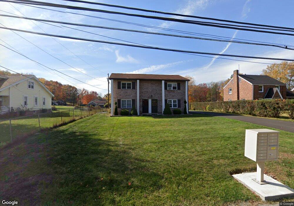
1685 Brodhead Rd Unit 1 Coraopolis, PA 15108
Estimated Value: $85,000 - $210,000
2
Beds
2
Baths
1,134
Sq Ft
$136/Sq Ft
Est. Value
About This Home
This home is located at 1685 Brodhead Rd Unit 1, Coraopolis, PA 15108 and is currently estimated at $154,227, approximately $136 per square foot. 1685 Brodhead Rd Unit 1 is a home located in Allegheny County with nearby schools including Moon Area High School and Our Lady Of Fatima Elementary School.
Ownership History
Date
Name
Owned For
Owner Type
Purchase Details
Closed on
Jun 14, 2022
Sold by
Unknown
Current Estimated Value
Purchase Details
Closed on
May 11, 2022
Sold by
Jander Louis W
Bought by
Jander Louis W
Purchase Details
Closed on
May 27, 2008
Sold by
Dollar Bank
Bought by
Jander Louis W
Home Financials for this Owner
Home Financials are based on the most recent Mortgage that was taken out on this home.
Original Mortgage
$55,620
Interest Rate
6.13%
Mortgage Type
New Conventional
Purchase Details
Closed on
Aug 30, 1995
Sold by
Divito Daniel G
Bought by
Sunseri Joseph C and Hickman Lisa M
Create a Home Valuation Report for This Property
The Home Valuation Report is an in-depth analysis detailing your home's value as well as a comparison with similar homes in the area
Home Values in the Area
Average Home Value in this Area
Purchase History
| Date | Buyer | Sale Price | Title Company |
|---|---|---|---|
| -- | $44,004 | -- | |
| Jander Louis W | -- | -- | |
| Jander Louis W | $61,800 | -- | |
| Sunseri Joseph C | $57,000 | -- |
Source: Public Records
Mortgage History
| Date | Status | Borrower | Loan Amount |
|---|---|---|---|
| Previous Owner | Jander Louis W | $55,620 |
Source: Public Records
Tax History
| Year | Tax Paid | Tax Assessment Tax Assessment Total Assessment is a certain percentage of the fair market value that is determined by local assessors to be the total taxable value of land and additions on the property. | Land | Improvement |
|---|---|---|---|---|
| 2025 | $496 | $77,200 | -- | $77,200 |
| 2024 | $2,413 | $77,200 | -- | $77,200 |
| 2023 | $2,327 | $77,200 | $0 | $77,200 |
| 2022 | $2,327 | $77,200 | $0 | $77,200 |
| 2021 | $2,332 | $77,200 | $0 | $77,200 |
| 2020 | $2,269 | $77,200 | $0 | $77,200 |
| 2019 | $2,207 | $77,200 | $0 | $77,200 |
| 2018 | $365 | $77,200 | $0 | $77,200 |
| 2017 | $2,087 | $77,200 | $0 | $77,200 |
| 2016 | $365 | $77,200 | $0 | $77,200 |
| 2015 | $365 | $77,200 | $0 | $77,200 |
| 2014 | $2,032 | $77,200 | $0 | $77,200 |
Source: Public Records
Map
Nearby Homes
- 103 Sweetwater Dr
- 185 Sweetwater Dr
- 181 Sweetwater Dr
- 179 Sweetwater Dr
- 175 Sweetwater Dr
- 171 Sweetwater Dr
- 165 Sweetwater Dr
- 1829 Brodhead Rd
- 1490 Olde Stable Ln
- 1865 Brodhead Rd
- 258 Spring Run Rd
- 1717 Heather Heights Dr Unit 1717
- Lot 1 Brodhead Rd
- Lot 2 Brodhead Rd
- Lot 3 Brodhead Rd
- 244 Spring Run Rd
- 603 Meade Dr
- 919 Harper Rd
- 129 Scottsdale Dr
- 428 Scottsdale Dr
- 1685 Brodhead Rd Unit 4
- 1685 Brodhead Rd Unit 7
- 1685 Brodhead Rd Unit 6
- 1685 Brodhead Rd Unit 5
- 1685 Brodhead Rd Unit 3
- 1685 Brodhead Rd Unit 12
- 1685 Brodhead Rd Unit 11
- 1685 Brodhead Rd Unit 10
- 1685 Brodhead Rd Unit 9
- 1685 Brodhead Rd Unit 2
- 1685 Brodhead Rd Unit 8
- 1685 Brodhead Rd
- 1687 Brodhead Rd
- 1679 Brodhead Rd
- 1691 Brodhead Rd
- 1684 Brodhead Rd
- 1675 Brodhead Rd
- 1680 Brodhead Rd
- 1695 Brodhead Rd
- 1690 Brodhead Rd
Your Personal Tour Guide
Ask me questions while you tour the home.