1685 Coal St Chesterhill, OH 43728
Estimated Value: $73,000 - $131,000
4
Beds
1
Bath
1,674
Sq Ft
$63/Sq Ft
Est. Value
About This Home
This home is located at 1685 Coal St, Chesterhill, OH 43728 and is currently estimated at $104,773, approximately $62 per square foot. 1685 Coal St is a home located in Morgan County with nearby schools including Morgan High School.
Ownership History
Date
Name
Owned For
Owner Type
Purchase Details
Closed on
Nov 12, 1999
Sold by
Williams Mary A
Bought by
Williams Gary K
Current Estimated Value
Create a Home Valuation Report for This Property
The Home Valuation Report is an in-depth analysis detailing your home's value as well as a comparison with similar homes in the area
Home Values in the Area
Average Home Value in this Area
Purchase History
| Date | Buyer | Sale Price | Title Company |
|---|---|---|---|
| Williams Gary K | -- | -- |
Source: Public Records
Tax History Compared to Growth
Tax History
| Year | Tax Paid | Tax Assessment Tax Assessment Total Assessment is a certain percentage of the fair market value that is determined by local assessors to be the total taxable value of land and additions on the property. | Land | Improvement |
|---|---|---|---|---|
| 2024 | $702 | $19,550 | $2,070 | $17,480 |
| 2023 | $702 | $13,790 | $1,760 | $12,030 |
| 2022 | $506 | $13,790 | $1,760 | $12,030 |
| 2021 | $484 | $13,810 | $1,760 | $12,050 |
| 2019 | $123 | $12,020 | $1,530 | $10,490 |
| 2018 | $119 | $12,020 | $1,530 | $10,490 |
| 2017 | $128 | $12,149 | $1,341 | $10,808 |
| 2016 | $128 | $12,149 | $1,341 | $10,808 |
| 2015 | $128 | $12,149 | $1,341 | $10,808 |
| 2014 | $132 | $12,149 | $1,341 | $10,808 |
| 2013 | $123 | $12,149 | $1,341 | $10,808 |
Source: Public Records
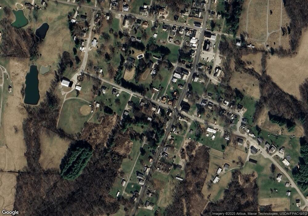
Map
Nearby Homes
- 0 Ohio 555 Unit 5146049
- 7600 Marion St
- 3205 Goshen Run Rd
- 5174 Lightner Ridge Rd
- 681 Downing Rd
- 781 Downing Rd
- 0 Downing Rd
- 15901 Lathrop Rd
- 4000 C206
- 0 Meadow St Unit Lot 9 5158299
- 0 Meadow St Unit Lot 9 225008020
- 1715 South St
- 3265 Tieber Rd
- 7.38 acres County Road 13
- 1770 Broadway St
- 2187 State Route 550
- 1960 Broadway St
- 1022 Tullis Rd
- 1920 North St
- 3111 Big Bottom Ln
- 1660 Coal St
- 1705 Coal St
- 7535 Marion St
- 7555 Marion St
- 7515 Marion St
- 0 Ohio 555 Unit 1.698+- acres
- 0 Ohio 555 Unit 14.093+- acres
- 0 Ohio 555 Unit 13.230+- acres
- 0 Ohio 555
- 7575 Marion St
- 0 Ohio 377
- 7560 Marion St
- 7580 Marion St
- 416 Marion St
- 1760 Coal St
- 7601 Marion St
- 1590 Coal St
- 7620 Marion St
- 1595 Marietta St
- 1775 Coal St