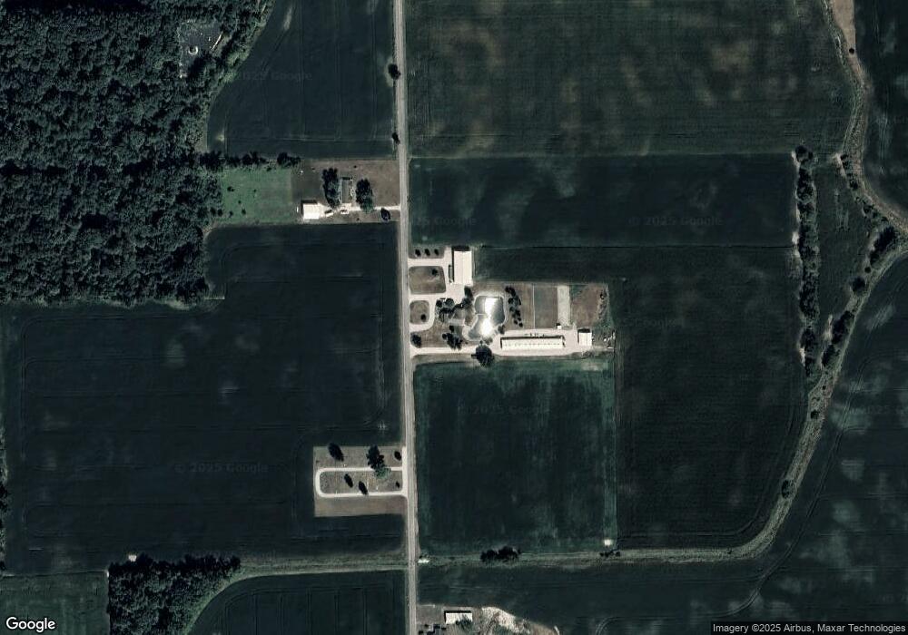
1685 N 500 W Decatur, IN 46733
Estimated Value: $372,000 - $525,000
3
Beds
2
Baths
2,524
Sq Ft
$168/Sq Ft
Est. Value
About This Home
This home is located at 1685 N 500 W, Decatur, IN 46733 and is currently estimated at $424,847, approximately $168 per square foot. 1685 N 500 W is a home located in Adams County with nearby schools including Adams Central Elementary School, Adams Central Middle School, and Adams Central High School.
Create a Home Valuation Report for This Property
The Home Valuation Report is an in-depth analysis detailing your home's value as well as a comparison with similar homes in the area
Home Values in the Area
Average Home Value in this Area
Tax History Compared to Growth
Tax History
| Year | Tax Paid | Tax Assessment Tax Assessment Total Assessment is a certain percentage of the fair market value that is determined by local assessors to be the total taxable value of land and additions on the property. | Land | Improvement |
|---|---|---|---|---|
| 2024 | $2,769 | $351,900 | $36,200 | $315,700 |
| 2023 | $1,482 | $245,400 | $24,700 | $220,700 |
| 2022 | $1,597 | $225,500 | $24,700 | $200,800 |
| 2021 | $1,559 | $211,500 | $21,800 | $189,700 |
| 2020 | $1,440 | $204,500 | $21,800 | $182,700 |
| 2019 | $1,199 | $187,100 | $21,800 | $165,300 |
| 2018 | $1,109 | $174,500 | $21,800 | $152,700 |
| 2017 | $1,092 | $170,400 | $19,800 | $150,600 |
| 2016 | $827 | $164,000 | $19,800 | $144,200 |
| 2014 | $777 | $156,900 | $19,800 | $137,100 |
| 2013 | $918 | $152,400 | $19,800 | $132,600 |
Source: Public Records
Map
Nearby Homes
- 3260 N 200 W
- 5020 N 400 W
- 6010 N 600 W
- 3803 U S 224
- 222 W Andrews St
- 210 W Walnut St
- 138 E Washington St
- 102 S Van Buren St
- 101 S Van Buren St
- 3959 U S 27
- 0 E Woodstone Ln
- 6068 N West St
- 1851 N High Pointe Ct
- 1765 Granger Ln
- 1759 Granger Ln
- 1773 Granger Ln
- 1779 Granger Ln
- 665 Dobby Ct
- 649 Hagrid Blvd
- 660 Malfoy Ct