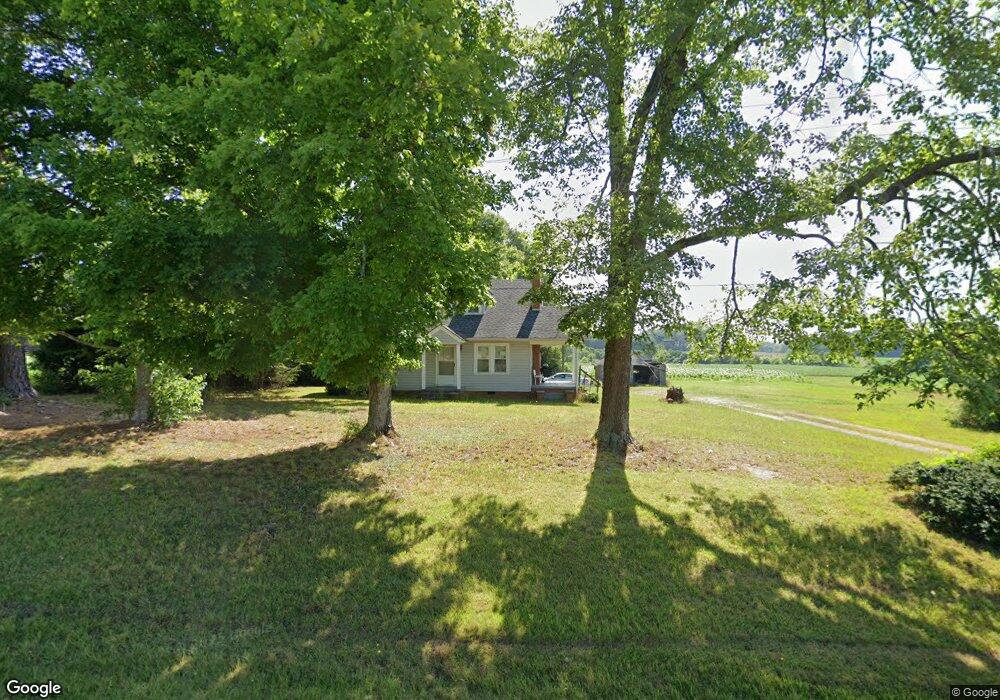
1685 Nc Hwy 22 S Ramseur, NC 27316
Estimated Value: $212,000 - $216,175
--
Bed
--
Bath
1,363
Sq Ft
$157/Sq Ft
Est. Value
About This Home
This home is located at 1685 Nc Hwy 22 S, Ramseur, NC 27316 and is currently estimated at $214,294, approximately $157 per square foot. 1685 Nc Hwy 22 S is a home with nearby schools including Ramseur Elementary School, Southeastern Randolph Middle School, and Eastern Randolph High School.
Ownership History
Date
Name
Owned For
Owner Type
Purchase Details
Closed on
Jul 28, 2011
Sold by
Hohneisen Bill and Langley Travis
Bought by
Bonham James and Bonham Rosemary
Current Estimated Value
Home Financials for this Owner
Home Financials are based on the most recent Mortgage that was taken out on this home.
Original Mortgage
$72,375
Outstanding Balance
$49,870
Interest Rate
4.62%
Mortgage Type
FHA
Estimated Equity
$164,424
Create a Home Valuation Report for This Property
The Home Valuation Report is an in-depth analysis detailing your home's value as well as a comparison with similar homes in the area
Home Values in the Area
Average Home Value in this Area
Purchase History
| Date | Buyer | Sale Price | Title Company |
|---|---|---|---|
| Bonham James | $75,000 | None Available |
Source: Public Records
Mortgage History
| Date | Status | Borrower | Loan Amount |
|---|---|---|---|
| Open | Bonham James | $72,375 |
Source: Public Records
Tax History Compared to Growth
Tax History
| Year | Tax Paid | Tax Assessment Tax Assessment Total Assessment is a certain percentage of the fair market value that is determined by local assessors to be the total taxable value of land and additions on the property. | Land | Improvement |
|---|---|---|---|---|
| 2025 | $383 | $116,900 | $24,000 | $92,900 |
| 2024 | $383 | $116,900 | $24,000 | $92,900 |
| 2023 | $383 | $116,900 | $24,000 | $92,900 |
| 2022 | $595 | $76,970 | $14,400 | $62,570 |
| 2021 | $595 | $76,970 | $14,400 | $62,570 |
| 2020 | $579 | $76,970 | $14,400 | $62,570 |
| 2019 | $579 | $76,970 | $14,400 | $62,570 |
| 2018 | $523 | $67,140 | $12,000 | $55,140 |
| 2016 | $519 | $67,139 | $12,000 | $55,139 |
| 2015 | $507 | $67,139 | $12,000 | $55,139 |
| 2014 | $521 | $67,139 | $12,000 | $55,139 |
Source: Public Records
Map
Nearby Homes
- 5182 Foushee Rd
- 1001 Meadowood Dr
- 545 Coleridge Rd
- 324 Elam Ave
- 2050 Welborn Cir
- 309 Elam Ave
- 321 Coleridge Rd
- 507 Columbia Ave
- 715 Liberty St
- 2110 Newell St
- 7187 Jordan Rd
- 0 State Highway 49
- 4737 Huntingwood Rd
- 4650 Huntingwood Rd
- 4659 Huntingwood Rd
- 4319 Young Rd
- 8521 Us Highway 64 E
- 5713 Us Highway 64 E
- 3875 Sycamore Trail
- 0 Willie Wright Rd
- 1628 Nc Hwy 22 S
- 1630 N Carolina 22
- 1742 Nc Hwy 22 S
- 5545 Old Siler City Rd
- 5587 Old Siler City Rd
- 5559 Old Siler City Rd
- 5554 Old Siler City Rd
- 1285 Canoy Farm Rd
- 1791 Nc Hwy 22 S
- 5651 Old Siler City Rd
- 5681 Old Siler City Rd
- 1461 Nc Hwy 22 S
- 1461 N Carolina 22
- 1454 Nc Hwy 22 S
- 1795 Nc Hwy 22 S
- 1451 Nc Hwy 22 S
- 1451 N Carolina 22
- 5617 William Burgess Rd
- 1406 Nc Hwy 22 S
- 1435 Nc Hwy 22 S