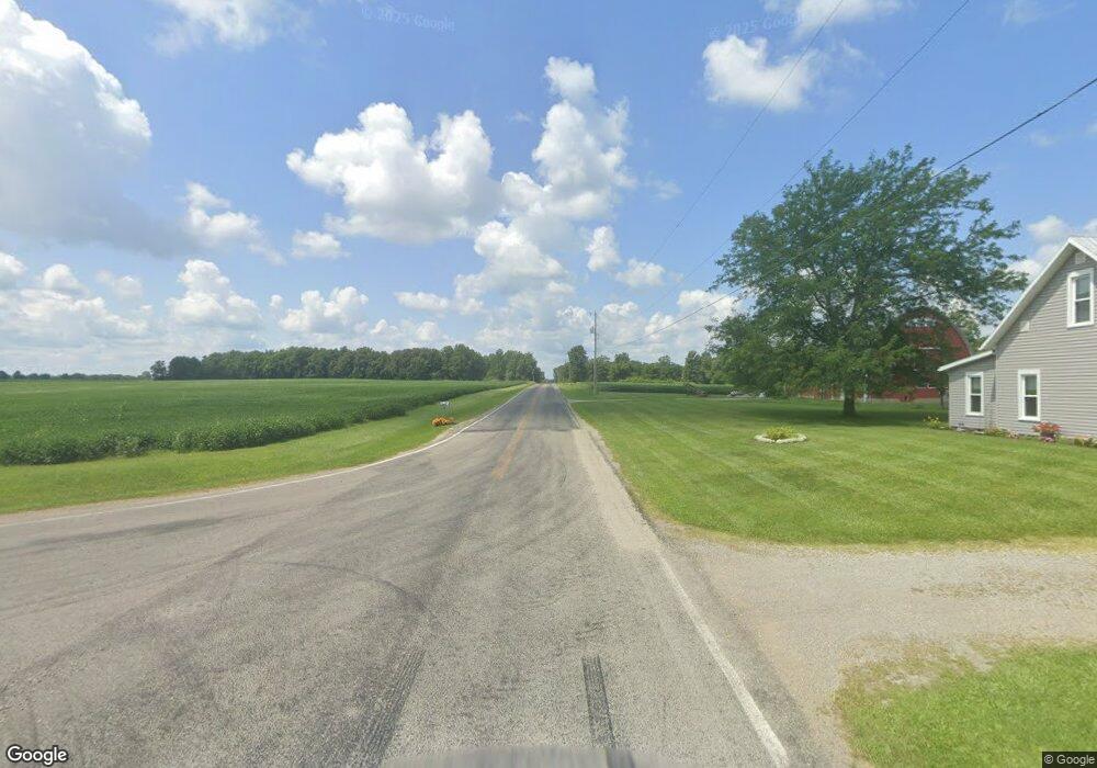
1685 W State Route 29 Urbana, OH 43078
Estimated Value: $305,000 - $360,721
1
Bed
2
Baths
1,920
Sq Ft
$172/Sq Ft
Est. Value
About This Home
This home is located at 1685 W State Route 29, Urbana, OH 43078 and is currently estimated at $330,680, approximately $172 per square foot. 1685 W State Route 29 is a home located in Champaign County with nearby schools including West Liberty-Salem Elementary School, West Liberty-Salem Middle School, and West Liberty-Salem Middle/High School.
Ownership History
Date
Name
Owned For
Owner Type
Purchase Details
Closed on
Feb 12, 2011
Sold by
Geuy Melissa D
Bought by
Geuy Daniel L
Current Estimated Value
Purchase Details
Closed on
May 20, 2002
Sold by
Turnkey Ohio Llc
Bought by
Geuy Daniel L and Geuy Melissa D
Home Financials for this Owner
Home Financials are based on the most recent Mortgage that was taken out on this home.
Original Mortgage
$142,500
Outstanding Balance
$61,145
Interest Rate
7.16%
Mortgage Type
New Conventional
Estimated Equity
$269,535
Purchase Details
Closed on
Aug 20, 2001
Sold by
Est Oren W Mccall
Bought by
Mccall Gabriel W
Home Financials for this Owner
Home Financials are based on the most recent Mortgage that was taken out on this home.
Original Mortgage
$96,000
Interest Rate
8%
Mortgage Type
New Conventional
Create a Home Valuation Report for This Property
The Home Valuation Report is an in-depth analysis detailing your home's value as well as a comparison with similar homes in the area
Home Values in the Area
Average Home Value in this Area
Purchase History
| Date | Buyer | Sale Price | Title Company |
|---|---|---|---|
| Geuy Daniel L | -- | Attorney | |
| Geuy Daniel L | $150,000 | -- | |
| Mccall Gabriel W | $122,000 | -- |
Source: Public Records
Mortgage History
| Date | Status | Borrower | Loan Amount |
|---|---|---|---|
| Open | Geuy Daniel L | $142,500 | |
| Previous Owner | Mccall Gabriel W | $96,000 |
Source: Public Records
Tax History Compared to Growth
Tax History
| Year | Tax Paid | Tax Assessment Tax Assessment Total Assessment is a certain percentage of the fair market value that is determined by local assessors to be the total taxable value of land and additions on the property. | Land | Improvement |
|---|---|---|---|---|
| 2024 | $3,180 | $84,040 | $20,340 | $63,700 |
| 2023 | $3,180 | $84,040 | $20,340 | $63,700 |
| 2022 | $3,191 | $84,040 | $20,340 | $63,700 |
| 2021 | $2,729 | $67,230 | $16,270 | $50,960 |
| 2020 | $2,729 | $67,230 | $16,270 | $50,960 |
| 2019 | $2,696 | $67,230 | $16,270 | $50,960 |
| 2018 | $2,358 | $59,570 | $15,060 | $44,510 |
| 2017 | $2,324 | $59,570 | $15,060 | $44,510 |
| 2016 | $2,254 | $59,570 | $15,060 | $44,510 |
| 2015 | $2,065 | $57,940 | $15,060 | $42,880 |
| 2014 | $2,067 | $57,940 | $15,060 | $42,880 |
| 2013 | $2,048 | $57,940 | $15,060 | $42,880 |
Source: Public Records
Map
Nearby Homes
- 0 Millerstown Rd
- 00 Millerstown Rd
- 734 Emmalyn Ave
- 728 N Oakland St
- 723 N Russell St
- 922 W Court St
- 1123 Miami St
- 241 Louden St
- 129 Gwynne St
- 242 Laurel Oak St
- 0 Laurel Oak St Unit 225013949
- 0 Laurel Oak St Unit 1038292
- 234 Laurel Oak St
- 206 Lincoln Place
- 311 W Church St
- 306 W Court St
- 0 Ohio 296
- 501 Boyce St
- 460 Storms Ave
- 1675 W State Route 29
- 1690 W State Route 29
- 1700 W State Route 29
- 1680 W State Route 29
- 1667 W State Route 29
- 1667 Ohio 29
- 1710 W State Route 29
- 1727 W State Route 29
- 1749 W State Route 29
- 1736 W State Route 29
- 1736 W St Rte 29
- 1763 W State Route 29
- 1794 W State Route 29
- 1805 W State Route 29
- 1732 W State Route 29
- 1810 W State Route 29
- 1814 W State Route 29
- 1828 W State Route 29
- 1843 W State Route 29
- 1840 W State Route 29