Estimated Value: $299,000 - $347,000
3
Beds
2
Baths
1,792
Sq Ft
$182/Sq Ft
Est. Value
About This Home
This home is located at 1686 W Huntington Ln, Nixa, MO 65714 and is currently estimated at $325,893, approximately $181 per square foot. 1686 W Huntington Ln is a home located in Christian County with nearby schools including P.S. 40 Samuel Huntington, Espy Elementary School, and Queens Gateway to Health Sciences Secondary School.
Ownership History
Date
Name
Owned For
Owner Type
Purchase Details
Closed on
Jul 27, 2017
Sold by
Dugan Dorothy Mae
Bought by
Dugan Matt and Dugan Malorie
Current Estimated Value
Home Financials for this Owner
Home Financials are based on the most recent Mortgage that was taken out on this home.
Original Mortgage
$120,000
Interest Rate
3.91%
Mortgage Type
New Conventional
Purchase Details
Closed on
Apr 20, 2017
Sold by
Dugan Dorothy Mae
Bought by
Dugan Dorothy Mae
Create a Home Valuation Report for This Property
The Home Valuation Report is an in-depth analysis detailing your home's value as well as a comparison with similar homes in the area
Home Values in the Area
Average Home Value in this Area
Purchase History
| Date | Buyer | Sale Price | Title Company |
|---|---|---|---|
| Dugan Matt | -- | Waco Title Company | |
| Dugan Dorothy Mae | -- | None Available |
Source: Public Records
Mortgage History
| Date | Status | Borrower | Loan Amount |
|---|---|---|---|
| Closed | Dugan Matt | $120,000 |
Source: Public Records
Tax History Compared to Growth
Tax History
| Year | Tax Paid | Tax Assessment Tax Assessment Total Assessment is a certain percentage of the fair market value that is determined by local assessors to be the total taxable value of land and additions on the property. | Land | Improvement |
|---|---|---|---|---|
| 2024 | $1,672 | $28,180 | -- | -- |
| 2023 | $1,672 | $28,180 | $0 | $0 |
| 2022 | $1,465 | $24,660 | $0 | $0 |
| 2021 | $1,466 | $24,660 | $0 | $0 |
| 2020 | $1,306 | $21,010 | $0 | $0 |
| 2019 | $1,306 | $21,010 | $0 | $0 |
| 2018 | $1,211 | $21,010 | $0 | $0 |
| 2017 | $1,211 | $21,010 | $0 | $0 |
| 2016 | $1,191 | $21,010 | $0 | $0 |
| 2015 | $1,193 | $21,010 | $21,010 | $0 |
| 2014 | $1,162 | $21,010 | $0 | $0 |
| 2013 | $1,164 | $21,010 | $0 | $0 |
| 2011 | -- | $42,100 | $0 | $0 |
Source: Public Records
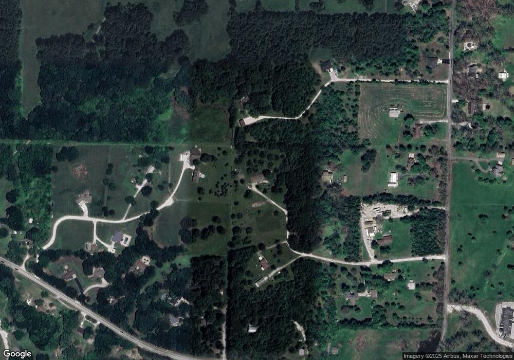
Map
Nearby Homes
- 178 Applebury Place
- 145 S Blazing Star Ln
- Lot #4 N Ginger Ln
- 144 Cedar Heights Dr
- 20 Acres N Carroll Rd
- 20 Acres N Carroll Rd
- 509 Willowdale Ct
- 1243 W Verna Ln
- 304 N Bonda Way
- 415 N Lewis Ct
- 000 S Nicholas Rd
- 528 N Mary Lynn Ln
- 305 Meadow St
- Tract 2 W Hicks Rd
- 000 W Hicks Rd
- Tract 1 W Hicks Rd
- 1334 W Mount Vernon St
- 621 Wood Haven Rd
- 601 S Gregg Rd
- 1001 W Bryce Ln
- 189 N Highland Dr
- 1683 W Huntington Ln
- 1663 W Huntington Ln
- 1674 W Huntington Ln
- 185 N Highland Dr
- 170 Applebury Place
- 174 Applebury Place
- 1631 W Huntington Ln
- 187 N Apricot Ct
- 1634 W Huntington Ln
- 1665 W Mount Vernon St
- 171 Applebury Place
- 355 Maynard Rd
- 175 N Applebury Place
- 1626 W Huntington Ln
- 0 Highland Dr
- 188 Highland Dr
- 399 Maynard Rd
- 181 N Highland Dr
- 184 N Highland Dr