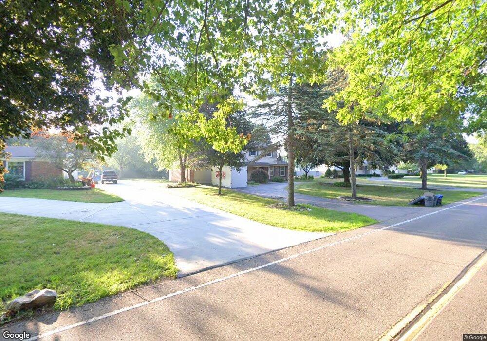
16860 Hubbard St Unit Bldg-Unit Livonia, MI 48154
Estimated Value: $462,890 - $553,000
--
Bed
3
Baths
2,099
Sq Ft
$233/Sq Ft
Est. Value
About This Home
This home is located at 16860 Hubbard St Unit Bldg-Unit, Livonia, MI 48154 and is currently estimated at $489,973, approximately $233 per square foot. 16860 Hubbard St Unit Bldg-Unit is a home located in Wayne County with nearby schools including Buchanan Elementary School, Riley Upper Elementary School, and Holmes Middle School.
Ownership History
Date
Name
Owned For
Owner Type
Purchase Details
Closed on
Feb 19, 2019
Sold by
Powell Vance D and Powell Karen M
Bought by
Powell Vance Dale and Powell Karen Marie
Current Estimated Value
Purchase Details
Closed on
Jun 25, 2018
Sold by
Jabonski Erlk and Jabonski Susan
Bought by
Powell Karen M and Powell Vance D
Purchase Details
Closed on
Jul 8, 2013
Sold by
Fortner Michael P and Fortner Kathleen M
Bought by
Jablonski Erik
Purchase Details
Closed on
Mar 30, 2001
Sold by
Bacha Belkaem
Bought by
Fornter Kathleen M
Create a Home Valuation Report for This Property
The Home Valuation Report is an in-depth analysis detailing your home's value as well as a comparison with similar homes in the area
Home Values in the Area
Average Home Value in this Area
Purchase History
| Date | Buyer | Sale Price | Title Company |
|---|---|---|---|
| Powell Vance Dale | -- | None Available | |
| Powell Karen M | $345,000 | None Available | |
| Jablonski Erik | $260,000 | Embassy Title Agency Inc | |
| Fornter Kathleen M | $260,000 | -- |
Source: Public Records
Tax History Compared to Growth
Tax History
| Year | Tax Paid | Tax Assessment Tax Assessment Total Assessment is a certain percentage of the fair market value that is determined by local assessors to be the total taxable value of land and additions on the property. | Land | Improvement |
|---|---|---|---|---|
| 2025 | $3,684 | $202,500 | $0 | $0 |
| 2024 | $3,684 | $190,500 | $0 | $0 |
| 2023 | $3,514 | $180,100 | $0 | $0 |
| 2022 | $6,093 | $159,400 | $0 | $0 |
| 2021 | $5,610 | $154,700 | $0 | $0 |
| 2019 | $5,750 | $141,600 | $0 | $0 |
| 2018 | $2,645 | $133,300 | $0 | $0 |
| 2017 | $4,682 | $130,100 | $0 | $0 |
| 2016 | $4,895 | $134,000 | $0 | $0 |
| 2015 | $11,850 | $130,620 | $0 | $0 |
| 2012 | -- | $106,030 | $21,530 | $84,500 |
Source: Public Records
Map
Nearby Homes
- 16966 Fairfield St
- 32525 6 Mile Rd
- 16832 Bell Creek Ln
- 32920 6 Mile Rd
- 17760 Loveland St
- 16962 Farmington Rd Unit 20
- 16880 Farmington Rd Unit 42
- 16385 Farmington Rd
- 16365 Farmington Rd
- 31069 Munger Dr
- 31366 Mayville St
- 15873 Shadyside Dr
- 33474 Vargo Dr
- 16537 Pollyanna St
- 18500 Mayfield St
- 15600 Auburndale St
- 18248 Farmington Rd
- 30425 Munger Dr
- 32651 5 Mile Rd Unit 15
- 34178 Grove Dr
- 16860 Hubbard St
- 16840 Hubbard St
- 16880 Hubbard St
- 16861 Yorkshire St
- 16820 Hubbard St
- 16910 Hubbard St
- 16881 Yorkshire St
- 16821 Yorkshire St
- 16911 Yorkshire St
- 16800 Hubbard St
- 16940 Hubbard St
- 16941 Hubbard St
- 16911 Hubbard St
- 32417 6 Mile Rd
- 16801 Yorkshire St
- 16943 Yorkshire St
- 16881 Hubbard St
- 16770 Hubbard St
- 16862 Yorkshire St
- 16771 Yorkshire St
