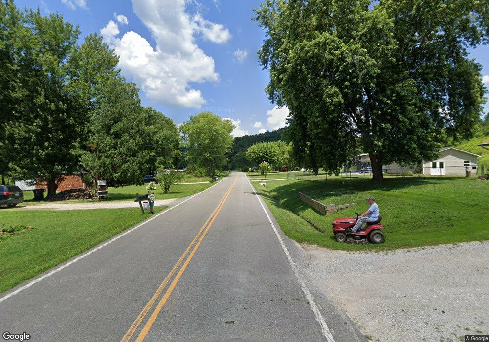
16863 N State Highway 7 Grayson, KY 41143
Estimated Value: $49,000 - $103,000
3
Beds
1
Bath
1,008
Sq Ft
$74/Sq Ft
Est. Value
About This Home
This home is located at 16863 N State Highway 7, Grayson, KY 41143 and is currently estimated at $74,457, approximately $73 per square foot. 16863 N State Highway 7 is a home located in Carter County with nearby schools including Carter City Elementary School, East Carter Middle School, and West Carter County High School.
Ownership History
Date
Name
Owned For
Owner Type
Purchase Details
Closed on
Aug 7, 2025
Sold by
Zornes Gary
Bought by
Willis Dara
Current Estimated Value
Purchase Details
Closed on
Aug 29, 2014
Sold by
Wylie Alfred W and Phillips Cynthia R
Bought by
Zornes David and Zornes Hazel
Home Financials for this Owner
Home Financials are based on the most recent Mortgage that was taken out on this home.
Original Mortgage
$20,400
Interest Rate
4.2%
Mortgage Type
Future Advance Clause Open End Mortgage
Create a Home Valuation Report for This Property
The Home Valuation Report is an in-depth analysis detailing your home's value as well as a comparison with similar homes in the area
Home Values in the Area
Average Home Value in this Area
Purchase History
| Date | Buyer | Sale Price | Title Company |
|---|---|---|---|
| Willis Dara | -- | None Listed On Document | |
| Zornes David | $25,500 | None Available | |
| Zornes David | $25,500 | None Available |
Source: Public Records
Mortgage History
| Date | Status | Borrower | Loan Amount |
|---|---|---|---|
| Previous Owner | Zornes David | $20,400 |
Source: Public Records
Tax History Compared to Growth
Tax History
| Year | Tax Paid | Tax Assessment Tax Assessment Total Assessment is a certain percentage of the fair market value that is determined by local assessors to be the total taxable value of land and additions on the property. | Land | Improvement |
|---|---|---|---|---|
| 2023 | $0 | $40,000 | $5,000 | $35,000 |
| 2021 | $0 | $40,000 | $5,000 | $35,000 |
| 2020 | $0 | $35,000 | $5,000 | $30,000 |
| 2019 | $0 | $35,000 | $5,000 | $30,000 |
| 2018 | $0 | $35,000 | $5,000 | $30,000 |
| 2017 | $0 | $35,000 | $5,000 | $30,000 |
| 2016 | $0 | $25,500 | $5,000 | $20,500 |
| 2015 | -- | $25,500 | $5,000 | $20,500 |
| 2014 | $261 | $31,800 | $0 | $0 |
| 2011 | $257 | $31,800 | $0 | $0 |
Source: Public Records
Map
Nearby Homes
- 0 Copperhead Rd
- 572 Clydesdale
- 18 Hurricane Branch
- 11439 Kentucky 7
- 305 Spring Hill Dr
- 3567 Leatherwood Rd
- 28 Hope Dr
- 4506 Leatherwood Rd
- 127 Neace
- 598 Cooper Rd
- 4371 Carter Caves Rd
- 240 Wolfpen Branch
- 439 Mud Lick Rd
- 33216 Kentucky 784
- 693 Long Fork Rd
- 1834 Howe Hollow Hoods Run Rd
- 1243 Smith Branch Rd
- 99 Peaceful Lazy B Ln
- 7063 W Us Highway 60
- 517 Erwin Ridge Rd
- 17031 N State Highway 7
- 17031 N State Highway 7
- 1773 St Hwy
- 17088 N State Highway 7
- 17069 N State Highway 7
- 17069 N State Highway 7 Unit K-6
- 230 Harvey Branch
- 17109 N State Highway 7
- 10813 State Highway 9
- 333 Harvey Branch
- 38 Chicken Coop Rd
- 80 Chicken Coop Rd
- 53 Chicken Coop Rd
- 17331 N State Highway 7
- 17098 N State Highway 7
- 69 Chicken Coop Rd
- 17069 N State Highway 7
- 1966 Hurricane Branch
- 10640 State Highway 9
- 625 State Highway 1773
