168642 Carl Dr Duncan, OK 73533
Estimated Value: $220,000 - $325,000
4
Beds
2
Baths
2,029
Sq Ft
$137/Sq Ft
Est. Value
About This Home
This home is located at 168642 Carl Dr, Duncan, OK 73533 and is currently estimated at $278,772, approximately $137 per square foot. 168642 Carl Dr is a home with nearby schools including Central High High School.
Ownership History
Date
Name
Owned For
Owner Type
Purchase Details
Closed on
Mar 14, 2014
Sold by
Parris Donnie
Bought by
Sandstrom Shane J and Sandstrom Vanessa L
Current Estimated Value
Home Financials for this Owner
Home Financials are based on the most recent Mortgage that was taken out on this home.
Original Mortgage
$197,303
Outstanding Balance
$149,223
Interest Rate
4.36%
Mortgage Type
VA
Estimated Equity
$129,549
Purchase Details
Closed on
Oct 22, 2012
Sold by
M & H Land Development Ll
Create a Home Valuation Report for This Property
The Home Valuation Report is an in-depth analysis detailing your home's value as well as a comparison with similar homes in the area
Purchase History
| Date | Buyer | Sale Price | Title Company |
|---|---|---|---|
| Sandstrom Shane J | $191,000 | None Available | |
| -- | $36,000 | -- |
Source: Public Records
Mortgage History
| Date | Status | Borrower | Loan Amount |
|---|---|---|---|
| Open | Sandstrom Shane J | $197,303 |
Source: Public Records
Tax History
| Year | Tax Paid | Tax Assessment Tax Assessment Total Assessment is a certain percentage of the fair market value that is determined by local assessors to be the total taxable value of land and additions on the property. | Land | Improvement |
|---|---|---|---|---|
| 2025 | $2,537 | $24,491 | $998 | $23,493 |
| 2024 | $2,739 | $25,971 | $998 | $24,973 |
| 2023 | $2,609 | $24,734 | $998 | $23,736 |
| 2022 | $2,558 | $24,979 | $998 | $23,981 |
| 2021 | $2,443 | $23,096 | $998 | $22,098 |
| 2020 | $2,336 | $22,410 | $998 | $21,412 |
| 2019 | $2,215 | $21,343 | $998 | $20,345 |
| 2018 | $2,141 | $20,327 | $998 | $19,329 |
| 2017 | $2,161 | $20,993 | $998 | $19,995 |
| 2016 | $2,182 | $21,107 | $998 | $20,109 |
| 2015 | $9 | $21,107 | $998 | $20,109 |
| 2014 | $9 | $21,508 | $998 | $20,510 |
Source: Public Records
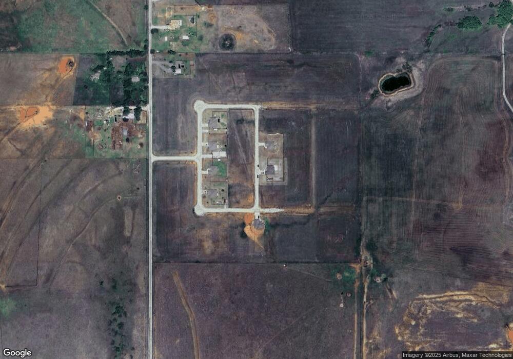
Map
Nearby Homes
- ???? Carl Dr
- 168592 Carl Dr
- 273601 W Gatlin Rd
- 0 8 Mile Rd
- 166518 9 Mile Rd
- 19204 SE Bishop Rd
- 273145 Central Acres Rd
- 171677 N 2764 Rd
- 15907 SE Woodlawn Rd
- 174085 N 2770 Rd
- 271588 E 1730 Rd
- 163573 N 7 Mile Rd
- Blk 3 Lot 2 Prospectors Ridge Dr
- B4 L1 Prospectors Ridge Dr
- Blk 4 Lot 1 Prospectors Ridge Dr
- B3L2 Prospectors Ridge Dr
- 172931 Prospectors Ridge Dr
- 172789 Trail Unit Dr
- Blk 2 Lot 6 Trail Side Dr
- B2L6 Trail Side Dr
- 168658 168658 Carl Dr
- 168608 Carl Dr
- 168607 Carl Dr
- 168639 Carl Dr
- 168665 Carl Dr
- 168664 Carl Dr
- 168585 Carl Dr
- 168586 Carl Dr
- 168592 168592 Carl Dr
- 168640 Miller Dr
- 168640 Miller Ave
- 13 Miller Ave
- 168664 Miller Ave
- 168608 Miller Ave
- 000 Miller Dr
- 0 Miller Dr
- 0 Miller Ave Unit 1028348
- 168800 9 Mile Rd
- 168600 9 Mile Rd
- 3 Acres Tbd168723 2736 Rd
Your Personal Tour Guide
Ask me questions while you tour the home.