1687 Drift Rd Westport, MA 02790
Westport Point NeighborhoodEstimated Value: $858,000 - $1,199,000
3
Beds
3
Baths
2,804
Sq Ft
$389/Sq Ft
Est. Value
About This Home
This home is located at 1687 Drift Rd, Westport, MA 02790 and is currently estimated at $1,089,773, approximately $388 per square foot. 1687 Drift Rd is a home located in Bristol County with nearby schools including Alice A. Macomber Primary School, Westport Elementary School, and Westport Middle-High School.
Ownership History
Date
Name
Owned For
Owner Type
Purchase Details
Closed on
Feb 24, 2016
Sold by
Mcdonough Francis X and Weber Dale R
Bought by
Francis X Mcdonough Lt and Mcdonough Francis X
Current Estimated Value
Purchase Details
Closed on
Apr 7, 2006
Sold by
Saccone Rosayne M and Saccone William R
Bought by
Weber Dale R and Mcdonough Francis X
Home Financials for this Owner
Home Financials are based on the most recent Mortgage that was taken out on this home.
Original Mortgage
$100,000
Interest Rate
6.26%
Mortgage Type
Purchase Money Mortgage
Create a Home Valuation Report for This Property
The Home Valuation Report is an in-depth analysis detailing your home's value as well as a comparison with similar homes in the area
Home Values in the Area
Average Home Value in this Area
Purchase History
| Date | Buyer | Sale Price | Title Company |
|---|---|---|---|
| Francis X Mcdonough Lt | -- | -- | |
| Weber Dale R | $600,000 | -- |
Source: Public Records
Mortgage History
| Date | Status | Borrower | Loan Amount |
|---|---|---|---|
| Previous Owner | Weber Dale R | $100,000 |
Source: Public Records
Tax History Compared to Growth
Tax History
| Year | Tax Paid | Tax Assessment Tax Assessment Total Assessment is a certain percentage of the fair market value that is determined by local assessors to be the total taxable value of land and additions on the property. | Land | Improvement |
|---|---|---|---|---|
| 2025 | $6,023 | $808,500 | $454,900 | $353,600 |
| 2024 | $5,950 | $769,700 | $424,500 | $345,200 |
| 2023 | $6,062 | $742,900 | $406,300 | $336,600 |
| 2022 | $5,213 | $703,400 | $406,300 | $297,100 |
| 2021 | $5,213 | $604,700 | $309,800 | $294,900 |
| 2020 | $0 | $593,700 | $298,800 | $294,900 |
| 2019 | $0 | $633,300 | $353,100 | $280,200 |
| 2018 | $0 | $553,700 | $245,100 | $308,600 |
| 2017 | $4,564 | $572,600 | $263,800 | $308,800 |
| 2016 | $4,429 | $559,900 | $285,100 | $274,800 |
| 2015 | $4,201 | $529,800 | $266,300 | $263,500 |
Source: Public Records
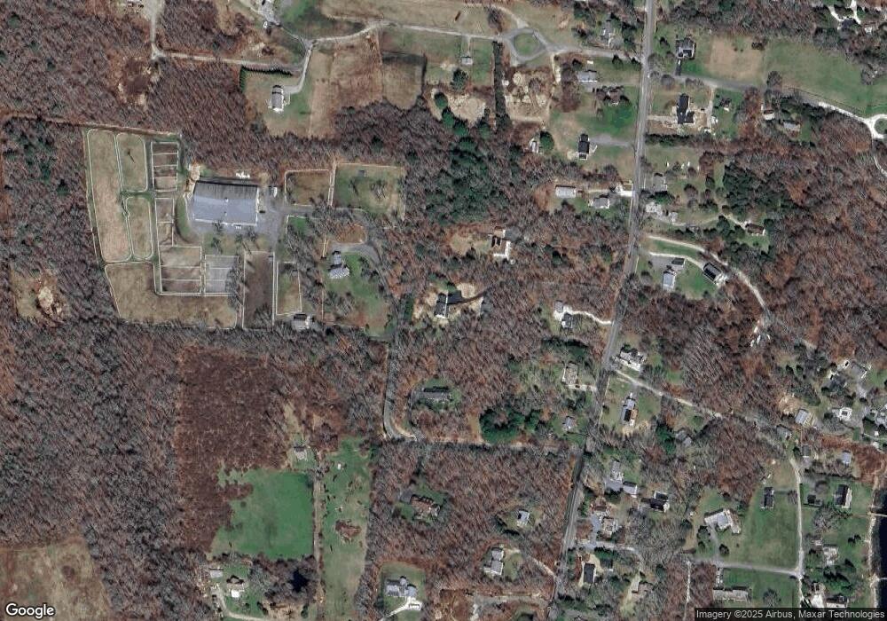
Map
Nearby Homes
- 1702J Drift Rd
- 1702 Drift Rd
- 1749 Main Rd
- 1881 Main Rd
- 1580 Main Rd
- 99 Sylvia Ln
- 1346 Main Rd Unit B
- 225 Hixbridge Rd
- 920 Drift Rd
- 19 Seabury Ln
- Lot 2 Horseneck Rd
- 101 Adamsville Rd
- 238-242 E Beach Rd
- 837 Main Rd
- 2 Slades Farm Ln
- 17 Quail Trail
- Lot 2E Horseneck Rd
- 255 John Dyer Rd
- 189 Brayton Point Rd
- 245 John Dyer Rd
- 2 Sams Way
- 1681 Drift Rd
- 1695 Drift Rd
- 1665 Drift Rd
- 1705 Drift Rd
- 1676 Drift Rd
- 1 Olin Howland Way
- 1670 Drift Rd
- 1700 Drift Rd
- 1659 Drift Rd
- 1721 Drift Rd
- 1688 Drift Rd
- 1660 Drift Rd
- 1651 Drift Rd
- 1724 Drift Rd
- 1680 Drift Rd Unit L
- 1680 Drift Rd Unit B
- 1680 Drift Rd Unit F
- 1680 Drift Rd
- 1680 Drift Rd Unit J