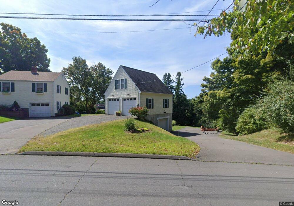
1687 Randolph Rd Middletown, CT 06457
Estimated Value: $330,228 - $377,000
3
Beds
1
Bath
1,075
Sq Ft
$320/Sq Ft
Est. Value
About This Home
This home is located at 1687 Randolph Rd, Middletown, CT 06457 and is currently estimated at $344,307, approximately $320 per square foot. 1687 Randolph Rd is a home located in Middlesex County with nearby schools including Wesley School, The Independent Day School, and St John Paul II School.
Ownership History
Date
Name
Owned For
Owner Type
Purchase Details
Closed on
Jul 26, 2022
Sold by
Natale Michael R and Natale Darcy E
Bought by
Natale Michael R
Current Estimated Value
Home Financials for this Owner
Home Financials are based on the most recent Mortgage that was taken out on this home.
Original Mortgage
$210,000
Outstanding Balance
$190,440
Interest Rate
5.7%
Mortgage Type
Stand Alone Refi Refinance Of Original Loan
Estimated Equity
$153,867
Purchase Details
Closed on
Nov 30, 1995
Sold by
Wallace Dorothy M
Bought by
Natale Michael R and Vincent Darcy E
Home Financials for this Owner
Home Financials are based on the most recent Mortgage that was taken out on this home.
Original Mortgage
$103,000
Interest Rate
7.37%
Mortgage Type
Unknown
Create a Home Valuation Report for This Property
The Home Valuation Report is an in-depth analysis detailing your home's value as well as a comparison with similar homes in the area
Home Values in the Area
Average Home Value in this Area
Purchase History
| Date | Buyer | Sale Price | Title Company |
|---|---|---|---|
| Natale Michael R | -- | None Available | |
| Natale Michael R | -- | None Available | |
| Natale Michael R | $112,000 | -- | |
| Natale Michael R | $112,000 | -- |
Source: Public Records
Mortgage History
| Date | Status | Borrower | Loan Amount |
|---|---|---|---|
| Open | Natale Michael R | $210,000 | |
| Closed | Natale Michael R | $210,000 | |
| Previous Owner | Natale Michael R | $188,000 | |
| Previous Owner | Natale Michael R | $77,000 | |
| Previous Owner | Natale Michael R | $65,000 | |
| Previous Owner | Natale Michael R | $103,000 |
Source: Public Records
Tax History Compared to Growth
Tax History
| Year | Tax Paid | Tax Assessment Tax Assessment Total Assessment is a certain percentage of the fair market value that is determined by local assessors to be the total taxable value of land and additions on the property. | Land | Improvement |
|---|---|---|---|---|
| 2025 | $6,730 | $173,020 | $65,110 | $107,910 |
| 2024 | $6,367 | $173,020 | $65,110 | $107,910 |
| 2023 | $6,025 | $171,650 | $65,110 | $106,540 |
| 2022 | $4,933 | $112,120 | $41,120 | $71,000 |
| 2021 | $4,933 | $112,120 | $41,120 | $71,000 |
| 2020 | $4,956 | $112,120 | $41,120 | $71,000 |
| 2019 | $4,978 | $112,120 | $41,120 | $71,000 |
| 2018 | $4,900 | $112,120 | $41,120 | $71,000 |
| 2017 | $4,691 | $110,630 | $48,980 | $61,650 |
| 2016 | $4,558 | $110,630 | $48,980 | $61,650 |
| 2015 | $4,381 | $110,630 | $48,980 | $61,650 |
| 2014 | $4,425 | $110,630 | $48,980 | $61,650 |
Source: Public Records
Map
Nearby Homes
- 491 Long Hill Rd
- 30 Orange Rd Unit 30
- Lot 3 Coleman Rd
- 120 Scenic View Dr
- 17 Mckenna Dr
- 498 Pine St
- 55 Lorelei Cir
- 40 Batt St
- 9 Sunset Dr
- 10 Lorelei Cir
- (Map 12, Lot 80A) Hubbard St
- 574 Butternut St
- Lot 2 Coleman Rd
- 81 Aresco Dr
- 0 Arbutus St Unit 24065180
- 347 Farm Hill Rd
- 237 Boston Rd
- 128 Highland Ave
- 160 Boston Rd
- 66 Durant Terrace
- 1703 Randolph Rd
- 1681 Randolph Rd
- 1725 Randolph Rd
- 1678 Randolph Rd
- 24 Gleeson Rd
- 33 Gleeson Rd
- 1642 Randolph Rd
- 45 Gleeson Rd
- 34 Gleeson Rd
- 55 Gleeson Rd
- 48 Green Briar Cir
- 44 Gleeson Rd
- 42 Green Briar Cir
- 69 Gleeson Rd
- 439 Long Hill Rd
- 54 Gleeson Rd
- 1630 Randolph Rd
- 481 Long Hill Rd
- 38 Green Briar Cir
- 75 Gleeson Rd