1687 Riverside Dr Unit 4, 16 Rochester Hills, MI 48309
Estimated Value: $192,000 - $203,000
2
Beds
2
Baths
1,197
Sq Ft
$164/Sq Ft
Est. Value
About This Home
This home is located at 1687 Riverside Dr Unit 4, 16, Rochester Hills, MI 48309 and is currently estimated at $196,865, approximately $164 per square foot. 1687 Riverside Dr Unit 4, 16 is a home located in Oakland County with nearby schools including University Hills Elementary School, West Middle School, and Rochester High School.
Ownership History
Date
Name
Owned For
Owner Type
Purchase Details
Closed on
Nov 14, 2022
Sold by
Oakwood Park Association
Bought by
Sands Pamela
Current Estimated Value
Purchase Details
Closed on
Jul 22, 2021
Sold by
Madison Capital Fund Llc
Bought by
Oakwood Park Association
Purchase Details
Closed on
Nov 19, 2019
Sold by
Sands Pamela
Bought by
Madison Capital Fund Llc
Purchase Details
Closed on
Feb 26, 2016
Sold by
Walsh Lauren C and Walsh Lauren C
Bought by
Sands Pamela
Home Financials for this Owner
Home Financials are based on the most recent Mortgage that was taken out on this home.
Original Mortgage
$106,600
Interest Rate
3.79%
Mortgage Type
New Conventional
Purchase Details
Closed on
Feb 1, 2013
Sold by
Nader Vivian M
Bought by
Walsh Lauren C
Create a Home Valuation Report for This Property
The Home Valuation Report is an in-depth analysis detailing your home's value as well as a comparison with similar homes in the area
Home Values in the Area
Average Home Value in this Area
Purchase History
| Date | Buyer | Sale Price | Title Company |
|---|---|---|---|
| Sands Pamela | $24,850 | -- | |
| Oakwood Park Association | $9,696 | None Available | |
| Madison Capital Fund Llc | $4,489 | None Available | |
| Sands Pamela | $109,900 | Sterling Title Agency | |
| Walsh Lauren C | $53,000 | Capital Title Ins Agency |
Source: Public Records
Mortgage History
| Date | Status | Borrower | Loan Amount |
|---|---|---|---|
| Previous Owner | Sands Pamela | $106,600 |
Source: Public Records
Tax History Compared to Growth
Tax History
| Year | Tax Paid | Tax Assessment Tax Assessment Total Assessment is a certain percentage of the fair market value that is determined by local assessors to be the total taxable value of land and additions on the property. | Land | Improvement |
|---|---|---|---|---|
| 2022 | $1,101 | $62,120 | $0 | $0 |
| 2018 | $1,542 | $48,080 | $0 | $0 |
| 2017 | $1,537 | $47,880 | $0 | $0 |
| 2015 | -- | $33,280 | $0 | $0 |
| 2014 | -- | $26,740 | $0 | $0 |
| 2011 | -- | $32,110 | $0 | $0 |
Source: Public Records
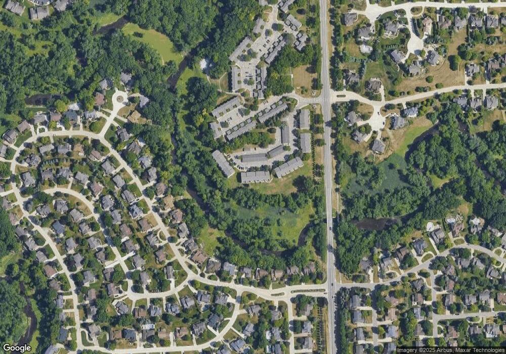
Map
Nearby Homes
- 1697 Riverside Dr Unit 18
- 1527 Charter Oak Dr Unit 143
- 1578 Charter Oak Dr
- 1699 Lincolnshire Dr
- 2600 S Christian Hills Dr
- 2142 Kennedy Dr
- 2659 W Avon Rd
- 1770 Christian Hills Dr
- 3888 Thatcher Dr
- 3906 Thatcher Dr
- 2076 Reagan Dr
- 584 Kinglet St
- 1751 Trafalgar Square
- 432 Flamingo St
- 1612 Bretton Dr N
- 821 Castlebar Dr
- 253 Toucan St
- 223 Toucan St
- 236 Toucan St
- 171 Flicker St
- 1687 Riverside Dr Unit 13
- 1683 Riverside Dr Unit 55
- 1673 Riverside Dr Unit 41
- 1663 Riverside Dr Unit 5
- 1556 Charter Oak Dr Unit 119
- 1693 Riverside Dr Unit 1
- 1653 Riverside Dr Unit 6-Bldg1
- 1693 Riverside Dr Unit 1-Bldg5
- 1673 Riverside Dr Unit 5-Bldg3
- 1673 Riverside Dr Unit 3, 5
- 1693 Riverside Dr Unit 5, 1
- 1673 Riverside Dr Unit 1
- 1675 Riverside Dr Unit 3 39
- 1591 Charter Oak Dr Unit 18
- 1583 Charter Oak Dr Unit 18, 160
- 1687 Riverside Dr Unit 18
- 1579 Charter Oak Dr Unit 18 158
- 1683 Riverside Dr Unit 4
- 1683 Riverside Dr Unit 4, 55
- 1525 Charter Oak Dr Unit 15, 142