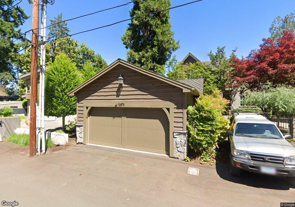
16874 Allen Rd Lake Oswego, OR 97035
Bryant NeighborhoodEstimated Value: $2,145,000 - $3,666,199
5
Beds
3
Baths
3,170
Sq Ft
$947/Sq Ft
Est. Value
About This Home
This home is located at 16874 Allen Rd, Lake Oswego, OR 97035 and is currently estimated at $3,001,733, approximately $946 per square foot. 16874 Allen Rd is a home located in Clackamas County with nearby schools including Westridge Elementary School, Lakeridge Middle School, and Lakeridge High School.
Ownership History
Date
Name
Owned For
Owner Type
Purchase Details
Closed on
Sep 25, 2001
Sold by
Sacconaghi Rodney W and Sacconaghi Sandra F
Bought by
Branam Michael and Branam Susan E
Current Estimated Value
Home Financials for this Owner
Home Financials are based on the most recent Mortgage that was taken out on this home.
Original Mortgage
$325,000
Outstanding Balance
$124,576
Interest Rate
6.91%
Estimated Equity
$2,877,157
Create a Home Valuation Report for This Property
The Home Valuation Report is an in-depth analysis detailing your home's value as well as a comparison with similar homes in the area
Home Values in the Area
Average Home Value in this Area
Purchase History
| Date | Buyer | Sale Price | Title Company |
|---|---|---|---|
| Branam Michael | $530,000 | Fidelity National Title Co |
Source: Public Records
Mortgage History
| Date | Status | Borrower | Loan Amount |
|---|---|---|---|
| Open | Branam Michael | $325,000 |
Source: Public Records
Tax History Compared to Growth
Tax History
| Year | Tax Paid | Tax Assessment Tax Assessment Total Assessment is a certain percentage of the fair market value that is determined by local assessors to be the total taxable value of land and additions on the property. | Land | Improvement |
|---|---|---|---|---|
| 2025 | $27,293 | $1,421,232 | -- | -- |
| 2024 | $26,566 | $1,379,837 | -- | -- |
| 2023 | $26,566 | $1,339,648 | $0 | $0 |
| 2022 | $25,020 | $1,300,630 | $0 | $0 |
| 2021 | $23,109 | $1,262,748 | $0 | $0 |
| 2020 | $22,529 | $1,225,969 | $0 | $0 |
| 2019 | $21,974 | $1,190,262 | $0 | $0 |
| 2018 | $20,897 | $1,155,594 | $0 | $0 |
| 2017 | $20,164 | $1,121,936 | $0 | $0 |
| 2016 | $18,357 | $1,089,258 | $0 | $0 |
| 2015 | $17,735 | $1,057,532 | $0 | $0 |
| 2014 | $17,506 | $1,026,730 | $0 | $0 |
Source: Public Records
Map
Nearby Homes
- 17367 Canal Cir
- 17210 Cedar Rd
- 4160 Westbay Rd
- 16755 Graef Cir
- 17447 Blue Heron Rd
- 4264 Westbay Rd
- 4241 Cobb Way
- 17595 Kelok Rd
- 17422 Blue Heron Rd
- 4224 Haven St
- 4368 Lakeview Blvd
- 17035 Westview Dr
- 3600 Lakeview Blvd
- 3548 Lakeview Blvd
- 4470 Lakeview Blvd
- 3730 Upper Dr
- 17810 Sarah Hill Ln
- 4480 Upper Dr
- 17360 Alpine Way
- 17677 Westview Dr
- 16842 Allen Rd
- 16888 Allen Rd
- 3711 Southshore Blvd
- 16903 Allen Rd
- 16931 Allen Rd
- 16820 Allen Rd
- 16819 Allen Rd
- 3815 Southshore Blvd
- 3815 South Shore
- 3815 S Shore Bl
- 3712 Southshore Blvd
- 16989 Maple Cir
- 16977 Maple Cir
- 16833 Allen Rd
- 16991 Maple Cir
- 16971 Maple Cir
- 16806 Allen Rd
- 3788 Southshore Blvd
- 16931 Maple Cir
- 17475 Canal Cir