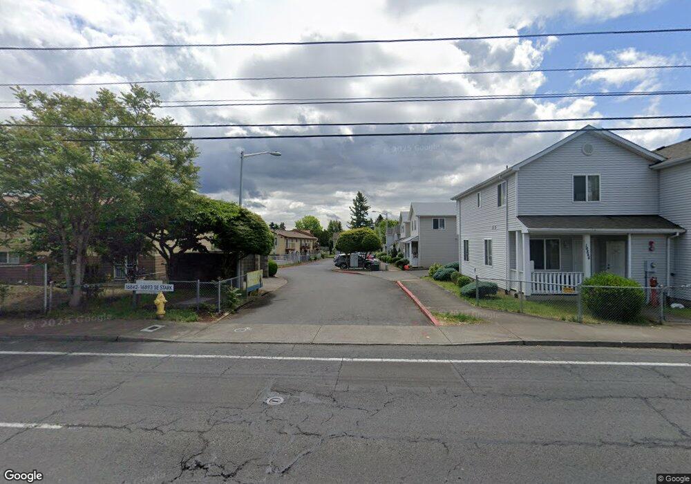
16876 SE Stark St Unit 9 Portland, OR 97233
Rockwood NeighborhoodEstimated Value: $243,000 - $282,799
--
Bed
2
Baths
1,284
Sq Ft
$209/Sq Ft
Est. Value
About This Home
This home is located at 16876 SE Stark St Unit 9, Portland, OR 97233 and is currently estimated at $268,950, approximately $209 per square foot. 16876 SE Stark St Unit 9 is a home located in Multnomah County with nearby schools including Alder Elementary School, Hauton B Lee Middle School, and Reynolds High School.
Ownership History
Date
Name
Owned For
Owner Type
Purchase Details
Closed on
Oct 13, 2016
Sold by
Habitat For Humanity Portland/Metro East
Bought by
Maw Pah Oo and Htoo Saw Kwa
Current Estimated Value
Purchase Details
Closed on
May 20, 2015
Sold by
Munyan Tracey and Tyrell Dawn
Bought by
Habitat For Humanity Portland/Metro East
Purchase Details
Closed on
Nov 19, 2007
Sold by
Mt Hood Habitat For Humanity
Bought by
Munyan Tracey and Tyrrell Dawn
Home Financials for this Owner
Home Financials are based on the most recent Mortgage that was taken out on this home.
Original Mortgage
$11,357
Interest Rate
6.38%
Mortgage Type
Purchase Money Mortgage
Create a Home Valuation Report for This Property
The Home Valuation Report is an in-depth analysis detailing your home's value as well as a comparison with similar homes in the area
Home Values in the Area
Average Home Value in this Area
Purchase History
| Date | Buyer | Sale Price | Title Company |
|---|---|---|---|
| Maw Pah Oo | $192,035 | Fidelity Natl Title Of Or | |
| Habitat For Humanity Portland/Metro East | $122,895 | None Available | |
| Munyan Tracey | $147,000 | Fidelity Natl Title Co Of Or |
Source: Public Records
Mortgage History
| Date | Status | Borrower | Loan Amount |
|---|---|---|---|
| Previous Owner | Munyan Tracey | $11,357 | |
| Closed | Maw Pah Oo | $0 |
Source: Public Records
Tax History Compared to Growth
Tax History
| Year | Tax Paid | Tax Assessment Tax Assessment Total Assessment is a certain percentage of the fair market value that is determined by local assessors to be the total taxable value of land and additions on the property. | Land | Improvement |
|---|---|---|---|---|
| 2024 | $2,927 | $156,530 | -- | $156,530 |
| 2023 | $2,649 | $151,980 | $0 | $151,980 |
| 2022 | $2,584 | $147,560 | $0 | $0 |
| 2021 | $2,520 | $143,270 | $0 | $0 |
| 2020 | $2,357 | $139,100 | $0 | $0 |
| 2019 | $2,260 | $135,050 | $0 | $0 |
| 2018 | $2,237 | $131,120 | $0 | $0 |
| 2017 | $2,165 | $127,310 | $0 | $0 |
| 2016 | $2,071 | $123,610 | $0 | $0 |
| 2015 | $2,011 | $120,010 | $0 | $0 |
| 2014 | $1,943 | $116,520 | $0 | $0 |
Source: Public Records
Map
Nearby Homes
- 16950 SE Ankeny St
- 16646 SE Ankeny St
- 61 SE 171st Ave
- 121 SE 166th Ave
- 17442 SE Washington Ct
- 20 SE 172nd Ave Unit 118
- 16715 E Burnside St
- 17310 E Burnside St
- 165 NE 167th Place
- 16317 SE Salmon St Unit B
- 16532 SE Main St
- 275 SE 162nd Ave Unit 309
- 281 SE 162nd Ave Unit 105
- 17821 SE Morrison Ct
- 1218 SE 162nd Ave
- 1123 SE 162nd Ave
- 1445 SE 174th Ave
- 16515 NE Everett Ct
- 202 NE 162nd Ave
- 707 SE 160th Ave
- 16874 SE Stark St Unit 8
- 16882 SE Stark St Unit 10
- 16854 SE Stark St Unit 4
- 16842 SE Stark St Unit 1
- 16856 SE Stark St Unit 5
- 16884 SE Stark St Unit 11
- 16852 SE Stark St Unit 3
- 16844 SE Stark St Unit 2
- 16860 SE Stark St Unit 6
- 16886 SE Stark St Unit 12
- 16896 SE Stark St Unit 15
- 16894 SE Stark St Unit 14
- 16964 SE Stark St
- 16928 SE Stark St Unit 16960
- 16872 SE Stark St Unit 7
- 16892 SE Stark St Unit 13
- 16908 SE Stark St
- 16836 SE Stark St
- 17010 SE Stark St
- 524 SE 168th Ave