1688 W 100 N Franklin, IN 46131
Estimated Value: $365,000 - $676,000
4
Beds
3
Baths
1,898
Sq Ft
$267/Sq Ft
Est. Value
About This Home
This home is located at 1688 W 100 N, Franklin, IN 46131 and is currently estimated at $507,053, approximately $267 per square foot. 1688 W 100 N is a home located in Johnson County with nearby schools including Creekside Elementary School, Custer Baker Intermediate School, and Franklin Community Middle School.
Ownership History
Date
Name
Owned For
Owner Type
Purchase Details
Closed on
Oct 24, 2017
Sold by
Grissom Forrest M and Grissom Shelley T
Bought by
Grissom Forret M and Grissom Shelley T
Current Estimated Value
Purchase Details
Closed on
Sep 28, 2017
Sold by
Grissom Forrest M and Grissom Shelley T
Bought by
Grissom Forrest M and Grissom Shelley T
Purchase Details
Closed on
Sep 11, 2017
Sold by
Shelley T Grissom
Bought by
Grissom Forrest M and Grissom Shelley T
Create a Home Valuation Report for This Property
The Home Valuation Report is an in-depth analysis detailing your home's value as well as a comparison with similar homes in the area
Home Values in the Area
Average Home Value in this Area
Purchase History
| Date | Buyer | Sale Price | Title Company |
|---|---|---|---|
| Grissom Forret M | -- | -- | |
| Grissom Forrest M | -- | -- | |
| Grissom Forrest M | -- | -- |
Source: Public Records
Tax History Compared to Growth
Tax History
| Year | Tax Paid | Tax Assessment Tax Assessment Total Assessment is a certain percentage of the fair market value that is determined by local assessors to be the total taxable value of land and additions on the property. | Land | Improvement |
|---|---|---|---|---|
| 2025 | $4,625 | $398,800 | $77,300 | $321,500 |
| 2024 | $4,625 | $333,700 | $76,700 | $257,000 |
| 2023 | $4,674 | $330,500 | $72,200 | $258,300 |
| 2022 | $4,579 | $321,300 | $72,200 | $249,100 |
| 2021 | $4,043 | $279,200 | $60,800 | $218,400 |
| 2020 | $3,803 | $266,300 | $60,700 | $205,600 |
| 2019 | $3,731 | $261,300 | $61,200 | $200,100 |
| 2018 | $2,290 | $211,000 | $63,500 | $147,500 |
| 2017 | $1,920 | $175,400 | $36,900 | $138,500 |
| 2016 | $1,891 | $169,600 | $36,900 | $132,700 |
| 2014 | $1,859 | $165,600 | $37,300 | $128,300 |
| 2013 | $1,859 | $167,200 | $36,000 | $131,200 |
Source: Public Records
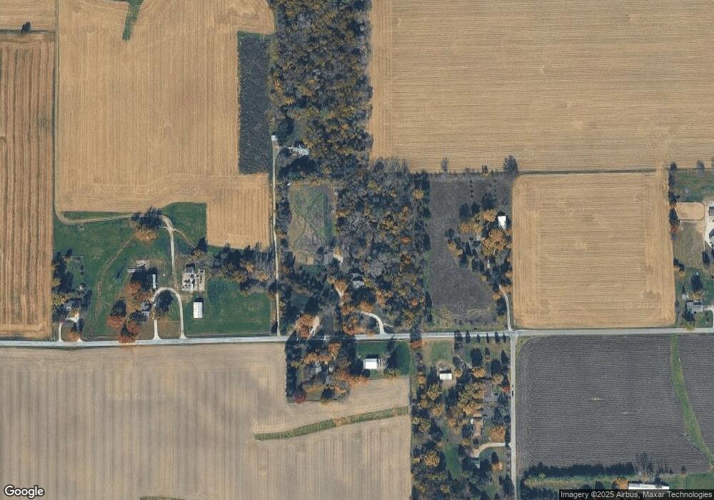
Map
Nearby Homes
- 1982 W 100 N
- 00 W State Road 144
- 2032 Partridge Dr
- 2090 Partridge Dr
- 2150 Partridge Dr
- 4051 W 100 N
- 2160 Partridge Dr
- 1007 Belgium Blvd
- 988 Belgium Blvd
- 00 N State Road 135
- 930 Belgium Blvd
- 317 W State Road 44
- 02 S 100 W
- 03 S 100 W
- 01 S 100 W
- 800 N 400 W
- 780 N 400 W
- 288 S Baldwin St
- 40 Village Rd
- 602 Hospital Rd
- 1738 W 100 N
- 1715 W 100 N
- 1500 W 100 N
- 1758 W 100 N
- 0 W 100 N Unit MBR21810709
- 0 W 100 N Unit MBR9938264
- 0 W 100 N Unit MBR9926299
- 0 W 100 N Unit MBR2655899
- 0 W 100 N Unit MBR2634352
- 0 W 100 N Unit MBR2310208
- 4200 W 100 N
- 958 N 150 W
- 999 Co Rd 150 W
- 1900 W 100 N
- 816 N 150 W
- 816 N 150 W
- 816 N 150 W
- 1358 W 100 N
- 875 N 150 W
- 1324 W 100 N