16886 Silver Lake Ln Addison, MI 49220
Estimated Value: $811,022 - $901,000
--
Bed
2
Baths
3,180
Sq Ft
$269/Sq Ft
Est. Value
About This Home
This home is located at 16886 Silver Lake Ln, Addison, MI 49220 and is currently estimated at $856,011, approximately $269 per square foot. 16886 Silver Lake Ln is a home located in Lenawee County with nearby schools including Columbia Lower Elementary School, Columbia Upper Elementary School, and Columbia Central Jr./Sr. High School.
Ownership History
Date
Name
Owned For
Owner Type
Purchase Details
Closed on
Apr 12, 2005
Sold by
Cornell Daniel and Cornell Jennifer
Bought by
Stevens Carl and Stevens Betty
Current Estimated Value
Home Financials for this Owner
Home Financials are based on the most recent Mortgage that was taken out on this home.
Original Mortgage
$225,000
Outstanding Balance
$116,862
Interest Rate
5.88%
Mortgage Type
New Conventional
Estimated Equity
$739,149
Create a Home Valuation Report for This Property
The Home Valuation Report is an in-depth analysis detailing your home's value as well as a comparison with similar homes in the area
Home Values in the Area
Average Home Value in this Area
Purchase History
| Date | Buyer | Sale Price | Title Company |
|---|---|---|---|
| Stevens Carl | $425,000 | None Available |
Source: Public Records
Mortgage History
| Date | Status | Borrower | Loan Amount |
|---|---|---|---|
| Open | Stevens Carl | $225,000 |
Source: Public Records
Tax History Compared to Growth
Tax History
| Year | Tax Paid | Tax Assessment Tax Assessment Total Assessment is a certain percentage of the fair market value that is determined by local assessors to be the total taxable value of land and additions on the property. | Land | Improvement |
|---|---|---|---|---|
| 2025 | $12,622 | $392,000 | $0 | $0 |
| 2024 | $8,905 | $407,700 | $0 | $0 |
| 2023 | -- | $359,500 | $0 | $0 |
| 2022 | $9,760 | $262,000 | $0 | $0 |
| 2021 | $9,655 | $235,000 | $0 | $0 |
| 2020 | $9,447 | $211,300 | $0 | $0 |
| 2019 | $642,811 | $211,300 | $0 | $0 |
| 2018 | $9,959 | $215,315 | $0 | $0 |
| 2017 | $9,661 | $217,932 | $0 | $0 |
| 2016 | $9,581 | $216,689 | $0 | $0 |
| 2014 | -- | $178,870 | $0 | $0 |
Source: Public Records
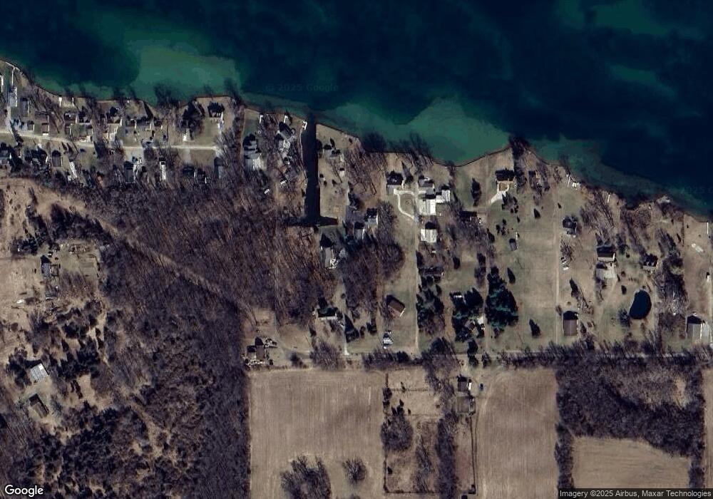
Map
Nearby Homes
- 186 Harris Dr
- 15816 Sanford Rd
- 14800 Canary Ct
- 900 Pamawa Dr
- 17475 U S 223
- 17430 U S 12
- 61 Pamawa Dr
- Lot 62 Pamawa Dr
- 9304 Parkhurst Hwy
- 10911 Devils Lake Hwy
- 8000 Parkhurst Hwy Unit Carroll Dr ((1175)
- 15255 Wheaton Rd
- 16424 N Rollin Hwy
- 407 Potter St
- 319 Neil St
- 15499 Cement City Rd
- 129 Kathy Ln
- 506 Lewis Rd
- 6360 Winter Rd
- 15858 Lelah Ln
- 16058 Silver Lake Ln
- 15000 Silver Lake Ln
- 15000 Silver Lake Ln
- 15000 Silver Lake Ln
- 15000 Silver Lake Ln
- 15998 Silver Lake Ln
- 15992 Silver Lake Ln
- 15980 Silver Lake Ln
- 15944 Silver Lake Ln
- 15962 Silver Lake Ln
- 15948 Silver Lake Ln
- 15984 Silver Lake Ln
- 15942 Silver Lake Ln
- 16060 Silver Lake Ln
- 27 Brooks Southshore Dr
- 15932 Silver Lake Ln
- 40 Brooks Southshore Dr
- 38 Brooks Southshore Dr
- 40 Brooks Southshore Dr
- 26 Brooks Southshore Dr