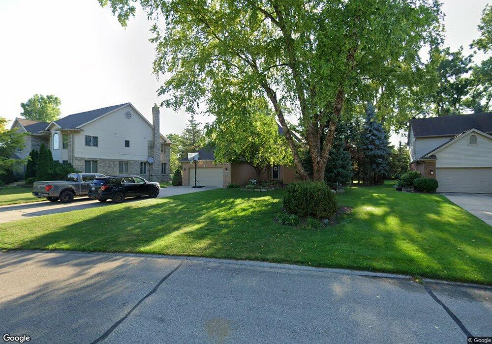
16896 Ryan Rd Livonia, MI 48154
Estimated Value: $463,000 - $585,000
4
Beds
4
Baths
2,216
Sq Ft
$229/Sq Ft
Est. Value
About This Home
This home is located at 16896 Ryan Rd, Livonia, MI 48154 and is currently estimated at $508,251, approximately $229 per square foot. 16896 Ryan Rd is a home located in Wayne County with nearby schools including Buchanan Elementary School, Riley Upper Elementary School, and Holmes Middle School.
Ownership History
Date
Name
Owned For
Owner Type
Purchase Details
Closed on
May 9, 2019
Sold by
Mulvihill Thomas G and Mulvihill Paula B
Bought by
Bright Michael E and Bright Courtney D
Current Estimated Value
Home Financials for this Owner
Home Financials are based on the most recent Mortgage that was taken out on this home.
Original Mortgage
$319,200
Outstanding Balance
$279,496
Interest Rate
4%
Mortgage Type
New Conventional
Estimated Equity
$228,755
Purchase Details
Closed on
Dec 14, 1995
Sold by
Thomas G and Mulvi Paula B
Bought by
Thomas G and Mulvihill Paula B
Create a Home Valuation Report for This Property
The Home Valuation Report is an in-depth analysis detailing your home's value as well as a comparison with similar homes in the area
Home Values in the Area
Average Home Value in this Area
Purchase History
| Date | Buyer | Sale Price | Title Company |
|---|---|---|---|
| Bright Michael E | $342,000 | Shield Title Agency Inc | |
| Thomas G | $231,195 | -- | |
| Thomas G | $231,195 | -- |
Source: Public Records
Mortgage History
| Date | Status | Borrower | Loan Amount |
|---|---|---|---|
| Open | Bright Michael E | $319,200 |
Source: Public Records
Tax History Compared to Growth
Tax History
| Year | Tax Paid | Tax Assessment Tax Assessment Total Assessment is a certain percentage of the fair market value that is determined by local assessors to be the total taxable value of land and additions on the property. | Land | Improvement |
|---|---|---|---|---|
| 2025 | $4,285 | $213,400 | $0 | $0 |
| 2024 | $4,285 | $208,700 | $0 | $0 |
| 2023 | $4,088 | $194,800 | $0 | $0 |
| 2022 | $7,288 | $180,100 | $0 | $0 |
| 2021 | $7,086 | $170,200 | $0 | $0 |
| 2019 | $5,656 | $166,500 | $0 | $0 |
| 2018 | $2,854 | $154,100 | $0 | $0 |
| 2017 | $1,325 | $150,600 | $0 | $0 |
| 2016 | $5,326 | $145,900 | $0 | $0 |
| 2015 | $12,598 | $141,150 | $0 | $0 |
| 2012 | -- | $120,870 | $29,250 | $91,620 |
Source: Public Records
Map
Nearby Homes
- 30425 Munger Dr
- 30115 Munger Dr
- 31069 Munger Dr
- 29945 6 Mile Rd
- 31366 Mayville St
- 29836 Bobrich St
- 31005 Roycroft St
- 15608 Hidden Ln
- 18659 Flamingo Blvd
- 15600 Auburndale St
- 15345 Bainbridge St
- 18725 Flamingo Blvd
- 29721 Pickford St
- 32525 6 Mile Rd
- 16966 Fairfield St
- 18872 Hillcrest St
- 29106 Broadmoor St
- 19021 Merriman Rd
- 30285 7 Mile Rd
- 29560 Clarita St Unit 11
- 16874 Ryan Rd
- 16928 Ryan Rd
- 16852 Ryan Rd
- 30655 6 Mile Rd
- 16830 Ryan Rd
- 30569 Munger Dr Unit 9
- 30781 Six Mile Rd
- 30791 6 Mile Rd
- 30533 6 Mile Rd
- 30523 Munger Dr Unit 7
- 30507 Munger Dr
- 30507 Munger Dr
- 30473 Munger Dr Unit 4
- 16875 Ryan Rd
- 30551 Munger Dr
- 30551 Munger Dr
- 16897 Ryan Rd
- 16808 Ryan Rd
- 16853 Ryan Rd
- 16929 Ryan Rd