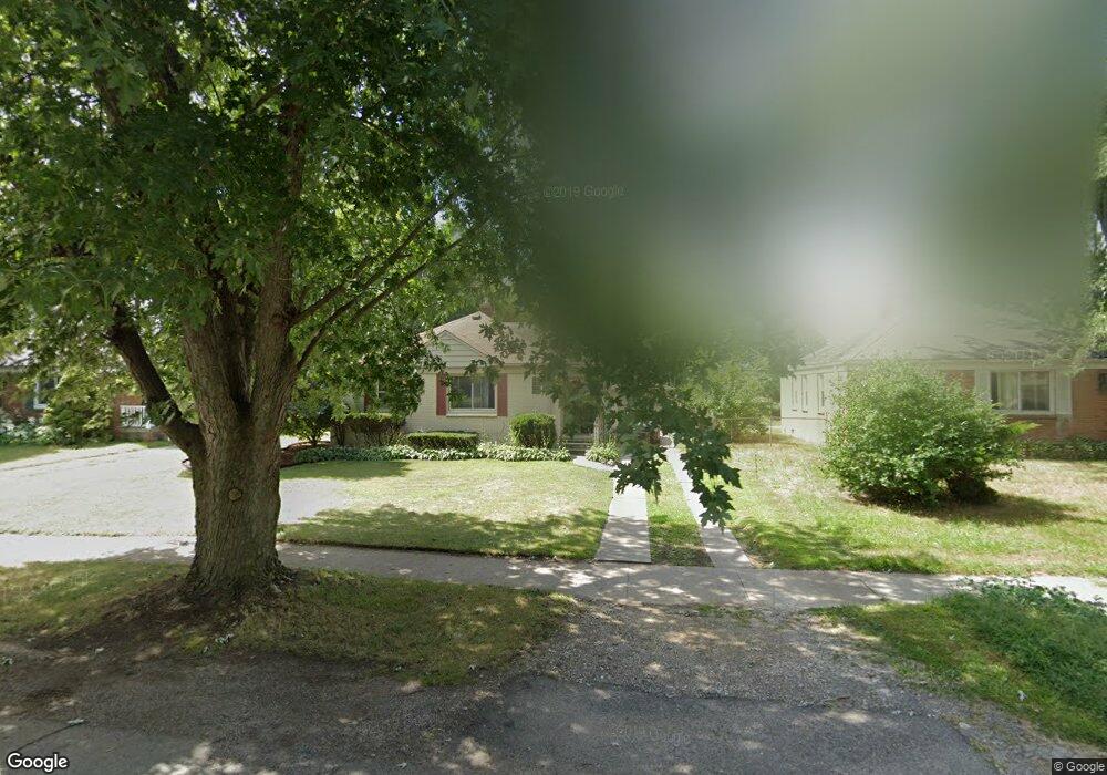
16897 Brady Redford, MI 48240
Estimated Value: $150,000 - $165,000
2
Beds
1
Bath
932
Sq Ft
$166/Sq Ft
Est. Value
About This Home
This home is located at 16897 Brady, Redford, MI 48240 and is currently estimated at $154,529, approximately $165 per square foot. 16897 Brady is a home located in Wayne County with nearby schools including Beech Elementary School, Hilbert Elementary School, and Old Redford Academy - Elementary School.
Ownership History
Date
Name
Owned For
Owner Type
Purchase Details
Closed on
Feb 2, 2015
Sold by
Sheppard Christina M and Duke Ronnie
Bought by
C & S Property Management Llc
Current Estimated Value
Purchase Details
Closed on
Jul 16, 2008
Sold by
Dunn Michael A and Mortgage Electronic Registrati
Bought by
Wells Fargo Bank Na and Iimpac Secured Assets Corp Mortgage Pass
Purchase Details
Closed on
Oct 21, 2004
Sold by
Kurtz Diane E
Bought by
Dunn Michael A
Home Financials for this Owner
Home Financials are based on the most recent Mortgage that was taken out on this home.
Original Mortgage
$88,000
Interest Rate
6.14%
Mortgage Type
Purchase Money Mortgage
Purchase Details
Closed on
Sep 18, 2003
Sold by
Goddard Geraldine
Bought by
Kurtz Diane E
Create a Home Valuation Report for This Property
The Home Valuation Report is an in-depth analysis detailing your home's value as well as a comparison with similar homes in the area
Home Values in the Area
Average Home Value in this Area
Purchase History
| Date | Buyer | Sale Price | Title Company |
|---|---|---|---|
| C & S Property Management Llc | -- | Hometown One Title Agency Ll | |
| Wells Fargo Bank Na | $93,828 | None Available | |
| Dunn Michael A | $110,000 | Title Source Inc | |
| Kurtz Diane E | -- | -- |
Source: Public Records
Mortgage History
| Date | Status | Borrower | Loan Amount |
|---|---|---|---|
| Previous Owner | Dunn Michael A | $22,000 | |
| Previous Owner | Dunn Michael A | $88,000 |
Source: Public Records
Tax History
| Year | Tax Paid | Tax Assessment Tax Assessment Total Assessment is a certain percentage of the fair market value that is determined by local assessors to be the total taxable value of land and additions on the property. | Land | Improvement |
|---|---|---|---|---|
| 2025 | $1,330 | $77,700 | $0 | $0 |
| 2024 | $1,297 | $69,600 | $0 | $0 |
| 2023 | $1,250 | $60,700 | $0 | $0 |
| 2022 | $2,340 | $45,700 | $0 | $0 |
| 2021 | $2,278 | $42,900 | $0 | $0 |
| 2020 | $2,247 | $35,400 | $0 | $0 |
| 2019 | $2,200 | $31,300 | $0 | $0 |
| 2018 | $1,116 | $28,300 | $0 | $0 |
| 2017 | $2,105 | $28,900 | $0 | $0 |
| 2016 | $1,949 | $25,400 | $0 | $0 |
| 2015 | $2,395 | $25,200 | $0 | $0 |
| 2013 | $2,320 | $23,600 | $0 | $0 |
| 2012 | $2,176 | $27,200 | $8,900 | $18,300 |
Source: Public Records
Map
Nearby Homes
- 17213 Brady
- 17206 Salem St
- 16580 Winston St
- 17343 Salem St
- 17324 Salem St
- 17305 Winston St
- 17405 Brady
- 17334 Winston St
- 16599 Lenore
- 17421 Five Points St
- 17375 Winston St
- 16230 Winston St
- 24511 Florence St
- 16520 Lenore
- 17630 Brady
- 24859 Puritan
- 16172 Fenton St
- 16696 Beech Daly Rd
- 17161 Beech Daly Rd
- 16565 Woodbine St
Your Personal Tour Guide
Ask me questions while you tour the home.