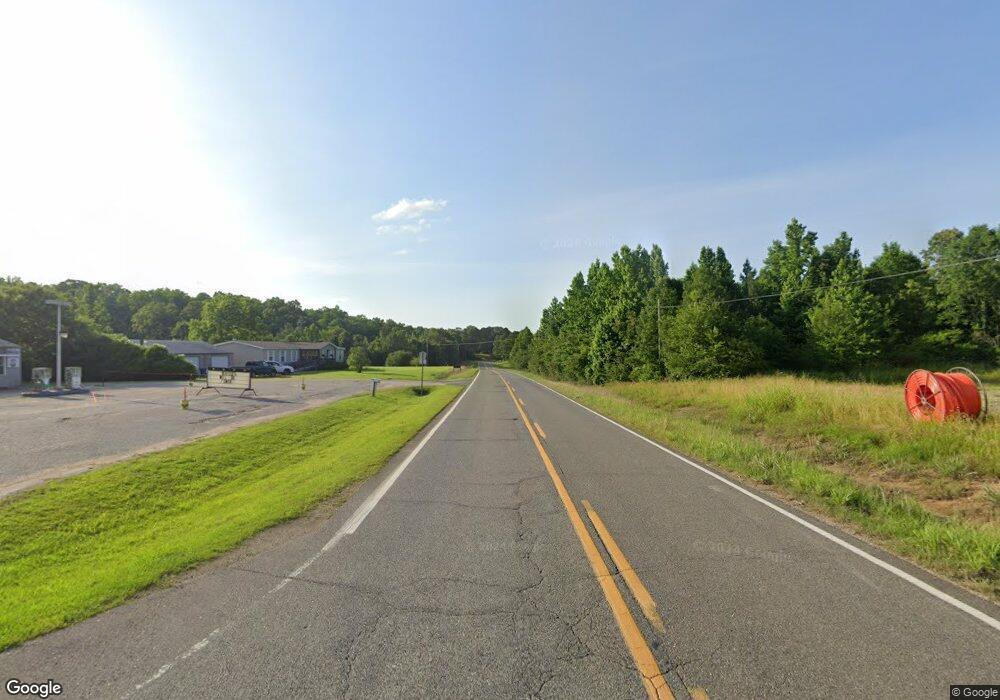
16897 Highway 69 N Northport, AL 35475
Estimated Value: $435,000 - $1,285,626
4
Beds
6
Baths
5,095
Sq Ft
$169/Sq Ft
Est. Value
About This Home
This home is located at 16897 Highway 69 N, Northport, AL 35475 and is currently estimated at $860,313, approximately $168 per square foot. 16897 Highway 69 N is a home located in Tuscaloosa County with nearby schools including Huntington Place Elementary School, Echols Middle School, and Tuscaloosa County High School.
Ownership History
Date
Name
Owned For
Owner Type
Purchase Details
Closed on
Sep 28, 2022
Sold by
Harrison Mccay and Harrison Diane
Bought by
Mccay Harrison and Mccay Harrison Mccay
Current Estimated Value
Home Financials for this Owner
Home Financials are based on the most recent Mortgage that was taken out on this home.
Original Mortgage
$859,000
Outstanding Balance
$824,372
Interest Rate
5.66%
Mortgage Type
VA
Estimated Equity
$35,941
Purchase Details
Closed on
Oct 29, 2007
Sold by
Minard William J
Bought by
Harrison Mccay
Create a Home Valuation Report for This Property
The Home Valuation Report is an in-depth analysis detailing your home's value as well as a comparison with similar homes in the area
Home Values in the Area
Average Home Value in this Area
Purchase History
| Date | Buyer | Sale Price | Title Company |
|---|---|---|---|
| Mccay Harrison | $1,037,800 | -- | |
| Harrison Mccay | $195,000 | -- |
Source: Public Records
Mortgage History
| Date | Status | Borrower | Loan Amount |
|---|---|---|---|
| Open | Mccay Harrison | $859,000 | |
| Previous Owner | Harrison Mccay | $421,000 |
Source: Public Records
Tax History Compared to Growth
Tax History
| Year | Tax Paid | Tax Assessment Tax Assessment Total Assessment is a certain percentage of the fair market value that is determined by local assessors to be the total taxable value of land and additions on the property. | Land | Improvement |
|---|---|---|---|---|
| 2024 | -- | $211,240 | $16,840 | $194,400 |
| 2023 | $0 | $165,000 | $16,840 | $148,160 |
| 2022 | $2,121 | $165,000 | $16,840 | $148,160 |
| 2021 | $2,054 | $160,000 | $12,840 | $147,160 |
| 2020 | $2,088 | $81,300 | $6,420 | $74,880 |
| 2019 | $2,087 | $81,300 | $6,420 | $74,880 |
| 2018 | $2,057 | $80,170 | $5,420 | $74,750 |
| 2017 | $1,841 | $0 | $0 | $0 |
| 2016 | $1,759 | $0 | $0 | $0 |
| 2015 | $1,745 | $0 | $0 | $0 |
| 2014 | $1,744 | $68,680 | $4,350 | $64,330 |
Source: Public Records
Map
Nearby Homes
- 12 Hilltop Estates
- 14 Hilltop Estates
- 1 Hilltop Estates
- 2 Hilltop Estates
- 4 Hilltop Estates
- 3 Hilltop Estates
- 9 Hilltop Estates
- 10 Hilltop Estates
- 7 Hilltop Estates
- 8 Hilltop Estates
- 11 Hilltop Estates
- 10443 Tierce Patton Rd
- 11091 Patton Rd
- 11009 Tierce Patton Rd
- 11142 Hilltop Loop
- 15741 Lake Harbor Dr
- 15923 Lake Hills Dr
- 12759 Gas Line Rd
- 12 Cedar Ridge Dr
- 9 Cedar Ridge Dr
- 16897 Highway 69 N
- 16900 Highway 69 N
- 16910 Highway 69 N
- 16855 Highway 69 N
- 16920 Highway 69 N
- 16982 Old Country Rd
- 16977 Old Country Rd
- 16938 Highway 69 N
- 16995 Old Country Rd
- 16806 Buffalo Ridge Rd
- 16852 Buffalo Ridge Rd
- 16787 Highway 69 N
- 16724 Mcfall Dr
- 16908 Buffalo Ridge Rd
- 10150 Beasley Dr
- 17012 Buffalo Ridge Rd
- 17023 Buffalo Ridge Rd
- 16916 Buffalo Ridge Rd
- 16760 Highway 69 N
- 17039 Highway 69 N
