168A Stockbridge Rd Scituate, MA 02066
Estimated Value: $695,000 - $1,081,000
3
Beds
1
Bath
1,300
Sq Ft
$669/Sq Ft
Est. Value
About This Home
This home is located at 168A Stockbridge Rd, Scituate, MA 02066 and is currently estimated at $869,897, approximately $669 per square foot. 168A Stockbridge Rd is a home located in Plymouth County with nearby schools including Jenkins Elementary School, Lester J. Gates Middle School, and Scituate High School.
Ownership History
Date
Name
Owned For
Owner Type
Purchase Details
Closed on
Feb 24, 2021
Sold by
Roderiques Leroy J
Bought by
Gabriel Stephen A and Gabriel Mary A
Current Estimated Value
Purchase Details
Closed on
Feb 12, 2021
Sold by
Dias Craig J
Bought by
Gabriel Stephen A and Gabriel Mary A
Purchase Details
Closed on
Aug 10, 2007
Sold by
Dias Craig J and Rodriques Josephine A
Bought by
Dias Craig
Purchase Details
Closed on
Feb 23, 2007
Sold by
Dias Craig J and Dias Josephine A
Bought by
Roderiques Leroy J
Create a Home Valuation Report for This Property
The Home Valuation Report is an in-depth analysis detailing your home's value as well as a comparison with similar homes in the area
Home Values in the Area
Average Home Value in this Area
Purchase History
| Date | Buyer | Sale Price | Title Company |
|---|---|---|---|
| Gabriel Stephen A | -- | None Available | |
| Gabriel Stephen A | -- | None Available | |
| Dias Craig | -- | -- | |
| Roderiques Leroy J | -- | -- |
Source: Public Records
Mortgage History
| Date | Status | Borrower | Loan Amount |
|---|---|---|---|
| Previous Owner | Roderiques Leroy J | $55,000 | |
| Previous Owner | Roderiques Leroy J | $50,000 |
Source: Public Records
Tax History
| Year | Tax Paid | Tax Assessment Tax Assessment Total Assessment is a certain percentage of the fair market value that is determined by local assessors to be the total taxable value of land and additions on the property. | Land | Improvement |
|---|---|---|---|---|
| 2025 | $5,521 | $552,700 | $331,000 | $221,700 |
| 2024 | $5,370 | $518,300 | $300,900 | $217,400 |
| 2023 | $4,710 | $423,200 | $229,300 | $193,900 |
| 2022 | $4,557 | $361,100 | $201,200 | $159,900 |
| 2021 | $3,954 | $296,600 | $191,600 | $105,000 |
| 2020 | $3,883 | $287,600 | $184,200 | $103,400 |
| 2019 | $3,844 | $279,800 | $180,600 | $99,200 |
| 2018 | $3,489 | $250,100 | $169,100 | $81,000 |
| 2017 | $3,259 | $231,300 | $150,300 | $81,000 |
| 2016 | $3,005 | $212,500 | $131,500 | $81,000 |
| 2015 | $2,784 | $212,500 | $131,500 | $81,000 |
Source: Public Records
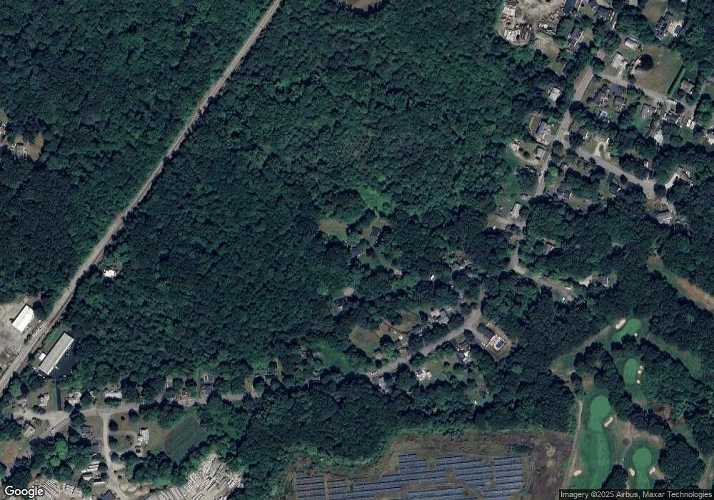
Map
Nearby Homes
- 21 Jenkins Place
- 15 Bearce Ln
- 14 Old Country Way Unit C
- 14 Old Country Way Unit B
- 19 Ford Place Unit 1
- 19 Ford Place Unit 2
- 34 Ladds Way
- 59 Greenfield Ln
- 24 Ridge Hill Rd
- 98 Satuit Trail
- 50 First Parish Rd
- 138 Judge Cushing Rd
- 111 Elm St
- 115 Elm St
- 46 Tilden Rd
- 94 Old Oaken Bucket Rd
- 19 Dunster Ln
- 20 Grace Way Unit 20
- 6 Grace Way Unit 6
- 27 Grace Way
- 168 Stockbridge Rd
- 168B Stockbridge Rd
- 192 Stockbridge Rd
- 200 Stockbridge Rd
- 184 Stockbridge Rd
- 208 Stockbridge Rd
- 180 Stockbridge Rd
- 214 Stockbridge Rd
- 176 Stockbridge Rd
- 212 Stockbridge Rd
- 170 Stockbridge Rd
- 170 Stockbridge Rd Unit none
- 193 Stockbridge Rd
- 187 Stockbridge Rd
- 166 Stockbridge Rd
- 220 Stockbridge Rd
- 183 Stockbridge Rd
- 162 Stockbridge Rd
- 226 Stockbridge Rd
- 179 Stockbridge Rd
Your Personal Tour Guide
Ask me questions while you tour the home.