169 Aspinwall Pkwy St. Augustine Beach, FL 32084
Estimated Value: $854,000 - $938,000
4
Beds
4
Baths
3,666
Sq Ft
$242/Sq Ft
Est. Value
About This Home
This home is located at 169 Aspinwall Pkwy, St. Augustine Beach, FL 32084 and is currently estimated at $887,223, approximately $242 per square foot. 169 Aspinwall Pkwy is a home located in St. Johns County with nearby schools including Mill Creek Academy and Palencia Montessori Academy.
Ownership History
Date
Name
Owned For
Owner Type
Purchase Details
Closed on
Apr 30, 2021
Sold by
Calatlantic Group Inc
Bought by
Thiruvanamalaisubbaroyan Lakshminarayanan and Lakshminarayanan Lavanya
Current Estimated Value
Home Financials for this Owner
Home Financials are based on the most recent Mortgage that was taken out on this home.
Original Mortgage
$548,250
Outstanding Balance
$496,075
Interest Rate
3%
Mortgage Type
New Conventional
Estimated Equity
$391,148
Create a Home Valuation Report for This Property
The Home Valuation Report is an in-depth analysis detailing your home's value as well as a comparison with similar homes in the area
Home Values in the Area
Average Home Value in this Area
Purchase History
| Date | Buyer | Sale Price | Title Company |
|---|---|---|---|
| Thiruvanamalaisubbaroyan Lakshminarayanan | $690,000 | Lennar Title Inc | |
| Thiruvanamalaisubbaroyan Lakshminarayanan | -- | New Title Company Name |
Source: Public Records
Mortgage History
| Date | Status | Borrower | Loan Amount |
|---|---|---|---|
| Open | Thiruvanamalaisubbaroyan Lakshminarayanan | $548,250 | |
| Closed | Thiruvanamalaisubbaroyan Lakshminarayanan | $548,250 |
Source: Public Records
Tax History Compared to Growth
Tax History
| Year | Tax Paid | Tax Assessment Tax Assessment Total Assessment is a certain percentage of the fair market value that is determined by local assessors to be the total taxable value of land and additions on the property. | Land | Improvement |
|---|---|---|---|---|
| 2025 | $11,571 | $619,144 | -- | -- |
| 2024 | $11,571 | $601,695 | -- | -- |
| 2023 | $11,571 | $584,170 | $0 | $0 |
| 2022 | $11,089 | $567,155 | $112,000 | $455,155 |
| 2021 | $10,014 | $439,221 | $0 | $0 |
| 2020 | $4,839 | $82,500 | $0 | $0 |
| 2019 | $5,452 | $75,000 | $0 | $0 |
Source: Public Records
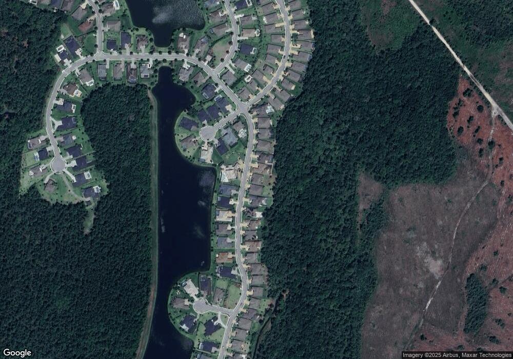
Map
Nearby Homes
- 139 Aspinwall Pkwy
- 363 Latrobe Ave
- 350 Latrobe Ave
- 296 Latrobe Ave
- 203 Westcott Pkwy
- 116 Westcott Pkwy
- 157 Westcott Pkwy
- 217 Latrobe Ave
- 269 Fremont Ave
- 241 Haas Ave
- 183 Fremont Ave
- 258 Haas Ave
- 4600 N Francis Rd
- 176 Haas Ave
- 4540 N Francis Rd
- 114 Fremont Ave
- 24 Latrobe Ave
- 352 Bronson Pkwy
- 185 Renwick Pkwy
- 168 Bronson Pkwy
- 169 Aspinwall Pkwy
- 155 Aspinwall Pkwy
- 183 Aspinwall Pkwy
- 199 Aspinwall Pkwy
- 139 Aspinwall Pkwy
- 199 Aspinwall Pkwy
- 172 Aspinwall Pkwy
- 188 Aspinwall Pkwy
- 215 Aspinwall Pkwy
- 123 Aspinwall Pkwy
- 123 Aspinwall Pkwy
- 206 Aspinwall Pkwy
- 233 Aspinwall Pkwy
- 111 Aspinwall Pkwy
- 523 Latrobe Ave
- 222 Aspinwall Pkwy
- 222 Aspinwall Pkwy
- 87 Aspinwall Pkwy
- 249 Aspinwall Pkwy
- 99 Aspinwall Pkwy