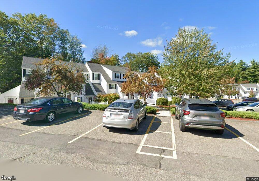
169 Berrington Rd Leominster, MA 01453
Estimated Value: $245,000 - $256,000
1
Bed
1
Bath
876
Sq Ft
$286/Sq Ft
Est. Value
About This Home
This home is located at 169 Berrington Rd, Leominster, MA 01453 and is currently estimated at $250,779, approximately $286 per square foot. 169 Berrington Rd is a home located in Worcester County with nearby schools including Leominster High School and St. Anna Catholic School.
Ownership History
Date
Name
Owned For
Owner Type
Purchase Details
Closed on
Oct 16, 2003
Sold by
Abraham George
Bought by
Colvin Pamela C
Current Estimated Value
Home Financials for this Owner
Home Financials are based on the most recent Mortgage that was taken out on this home.
Original Mortgage
$35,000
Outstanding Balance
$16,579
Interest Rate
6.43%
Mortgage Type
Purchase Money Mortgage
Estimated Equity
$234,200
Purchase Details
Closed on
Sep 25, 2002
Sold by
Liberty Commons Leom and Liberty Rental Corp
Bought by
Abraham George
Home Financials for this Owner
Home Financials are based on the most recent Mortgage that was taken out on this home.
Original Mortgage
$98,300
Interest Rate
6.25%
Mortgage Type
Purchase Money Mortgage
Create a Home Valuation Report for This Property
The Home Valuation Report is an in-depth analysis detailing your home's value as well as a comparison with similar homes in the area
Home Values in the Area
Average Home Value in this Area
Purchase History
| Date | Buyer | Sale Price | Title Company |
|---|---|---|---|
| Colvin Pamela C | $136,000 | -- | |
| Abraham George | $103,500 | -- |
Source: Public Records
Mortgage History
| Date | Status | Borrower | Loan Amount |
|---|---|---|---|
| Open | Colvin Pamela C | $35,000 | |
| Previous Owner | Abraham George | $98,300 |
Source: Public Records
Tax History Compared to Growth
Tax History
| Year | Tax Paid | Tax Assessment Tax Assessment Total Assessment is a certain percentage of the fair market value that is determined by local assessors to be the total taxable value of land and additions on the property. | Land | Improvement |
|---|---|---|---|---|
| 2025 | $3,261 | $232,400 | $0 | $232,400 |
| 2024 | $3,012 | $207,600 | $0 | $207,600 |
| 2023 | $2,740 | $176,300 | $0 | $176,300 |
| 2022 | $2,406 | $145,300 | $0 | $145,300 |
| 2021 | $2,230 | $123,000 | $0 | $123,000 |
| 2020 | $2,034 | $113,100 | $0 | $113,100 |
| 2019 | $2,115 | $114,100 | $0 | $114,100 |
| 2018 | $1,954 | $101,100 | $0 | $101,100 |
| 2017 | $1,697 | $86,000 | $0 | $86,000 |
| 2016 | $1,854 | $94,700 | $0 | $94,700 |
| 2015 | $1,841 | $94,700 | $0 | $94,700 |
| 2014 | $1,738 | $92,000 | $0 | $92,000 |
Source: Public Records
Map
Nearby Homes
- 91 Berrington Rd Unit 91
- 97 Berrington Rd Unit 97
- 12 Drummer Ln
- 50 Indian Ridge Dr
- 213 Bayberry Hill Ln
- 64 Sycamore Dr
- 39 Legate Hill Rd
- 1237 Central St Unit 15
- 851 Lancaster St
- 675 Willard St
- 23 Lantern Ln
- 29 Wedgewood Ln
- 740 Central St Unit R24
- 740 Central St Unit L22
- 315 Grant St
- 197 Chapman Place Unit 197
- 30 Abbey Rd Unit 207
- 10 Abbey Rd Unit 108
- 30 Abbey Rd Unit 202
- 177 Chapman Place
- 181 Berrington Rd
- 177 Berrington Rd
- 175 Berrington Rd
- 173 Berrington Rd
- 167 Berrington Rd
- 165 Berrington Rd
- 163 Berrington Rd
- 161 Berrington Rd
- 159 Berrington Rd
- 157 Berrington Rd
- 165 Berrington Rd Unit 11
- 165 Berrington Rd Unit 165
- 157 Berrington Rd Unit 157
- 175 Berrington Rd Unit 175
- 167 Berrington Rd Unit 167
- 169 Berrington Rd Unit 169
- 32 Gates Crossing
- 30 Gates Crossing
- 24 Gates Crossing
- 22 Gates Crossing