169 Buice Rd Barnesville, GA 30204
Estimated Value: $204,000 - $457,331
2
Beds
1
Bath
876
Sq Ft
$355/Sq Ft
Est. Value
About This Home
This home is located at 169 Buice Rd, Barnesville, GA 30204 and is currently estimated at $311,110, approximately $355 per square foot. 169 Buice Rd is a home with nearby schools including Lamar County Primary School, Lamar County Elementary School, and Lamar County Middle School.
Ownership History
Date
Name
Owned For
Owner Type
Purchase Details
Closed on
Oct 6, 2023
Sold by
Burford William Larry
Bought by
Burford William Dean and Bush Pamela Denise
Current Estimated Value
Purchase Details
Closed on
Feb 22, 2023
Sold by
Burford William Larry Executor
Bought by
Adkerson Jeremy Kyle and C/O Bush Pamela Denise
Purchase Details
Closed on
Jun 1, 1969
Bought by
Burford William Larr
Create a Home Valuation Report for This Property
The Home Valuation Report is an in-depth analysis detailing your home's value as well as a comparison with similar homes in the area
Home Values in the Area
Average Home Value in this Area
Purchase History
| Date | Buyer | Sale Price | Title Company |
|---|---|---|---|
| Burford William Dean | -- | -- | |
| Burford William Dean | -- | -- | |
| Burford William Dean | -- | -- | |
| Adkerson Jeremy Kyle | -- | -- | |
| Burford William Larr | $8,500 | -- |
Source: Public Records
Tax History Compared to Growth
Tax History
| Year | Tax Paid | Tax Assessment Tax Assessment Total Assessment is a certain percentage of the fair market value that is determined by local assessors to be the total taxable value of land and additions on the property. | Land | Improvement |
|---|---|---|---|---|
| 2025 | $2,248 | $160,009 | $55,779 | $104,230 |
| 2024 | $2,248 | $129,753 | $55,779 | $73,974 |
| 2023 | $3,360 | $139,914 | $64,838 | $75,076 |
| 2022 | $3,326 | $138,670 | $69,490 | $69,180 |
| 2021 | $1,492 | $111,720 | $54,178 | $57,542 |
| 2020 | $1,488 | $111,754 | $56,566 | $55,188 |
| 2019 | $1,148 | $101,222 | $56,566 | $44,656 |
| 2018 | $1,094 | $101,222 | $56,566 | $44,656 |
| 2017 | $1,100 | $101,222 | $56,566 | $44,656 |
| 2016 | $1,112 | $101,222 | $56,566 | $44,656 |
| 2015 | $1,121 | $101,222 | $56,566 | $44,656 |
| 2014 | $1,101 | $101,222 | $56,566 | $44,656 |
| 2013 | -- | $101,222 | $56,566 | $44,655 |
Source: Public Records
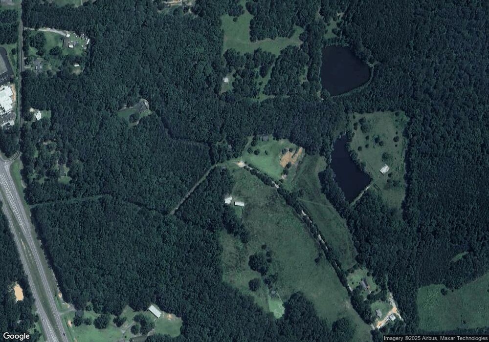
Map
Nearby Homes
- 0 Silver Dollar Rd Unit 10552561
- V L Silver Dollar Rd
- 603 Silver Dollar Rd
- 113 Heatherwood Ln
- 277 Cole Forest Blvd
- 0 Main St Unit 10586668
- 0 Main St Unit 10585681
- 295 Grove St
- 250 Mill St
- LOT 112 Cole Forest Blvd
- 0 Mill St Unit 10420113
- 101 3rd St
- 116 Moore St
- 339 Atlanta St
- 704 Old Milner Rd
- 171 Meadowbrooke Dr
- 245 Atlanta St
- 587 Highway 41 N
- 107 1st St
- 178 Barnesville Ave
- 125 Buice Rd
- 125 Buice Rd
- 113 Buice Rd
- 109 Liz Acres Dr
- 109 Liz Acres Dr
- 109 Liz Acres Dr
- 201 36 Bypass
- 201 Highway 36 Bypass
- 201 36 Bypass
- 201 36 Bypass
- 135 Liz Acres Dr
- 141 Liz Acres Dr
- 149 Silver Dollar Rd
- 128 Liz Acres Dr
- 253 36 Bypass
- 0 Liz Acres Rd Unit 20056664
- 0 Liz Acres Rd Unit 20032687
- 0 Liz Acres Rd Unit 8725299
- 132 Liz Acres Dr
- 138 Liz Acres Dr