169 Cedargrove Ln Chehalis, WA 98532
Estimated Value: $573,000 - $677,000
4
Beds
2
Baths
2,112
Sq Ft
$304/Sq Ft
Est. Value
About This Home
This home is located at 169 Cedargrove Ln, Chehalis, WA 98532 and is currently estimated at $641,163, approximately $303 per square foot. 169 Cedargrove Ln is a home with nearby schools including James W. Lintott Elementary School, R E Bennett Elementary School, and Orin C. Smith Elementary School.
Ownership History
Date
Name
Owned For
Owner Type
Purchase Details
Closed on
Jul 19, 2005
Sold by
Lakin Donald N and Lakin Rita J
Bought by
Powell Steven N and Powell Dawn M
Current Estimated Value
Home Financials for this Owner
Home Financials are based on the most recent Mortgage that was taken out on this home.
Original Mortgage
$280,200
Outstanding Balance
$145,322
Interest Rate
5.56%
Mortgage Type
Construction
Estimated Equity
$495,841
Create a Home Valuation Report for This Property
The Home Valuation Report is an in-depth analysis detailing your home's value as well as a comparison with similar homes in the area
Home Values in the Area
Average Home Value in this Area
Purchase History
| Date | Buyer | Sale Price | Title Company |
|---|---|---|---|
| Powell Steven N | -- | None Available |
Source: Public Records
Mortgage History
| Date | Status | Borrower | Loan Amount |
|---|---|---|---|
| Open | Powell Steven N | $280,200 |
Source: Public Records
Tax History Compared to Growth
Tax History
| Year | Tax Paid | Tax Assessment Tax Assessment Total Assessment is a certain percentage of the fair market value that is determined by local assessors to be the total taxable value of land and additions on the property. | Land | Improvement |
|---|---|---|---|---|
| 2024 | $5,098 | $591,700 | $166,500 | $425,200 |
| 2023 | $4,727 | $555,500 | $55,700 | $499,800 |
| 2022 | $4,745 | $482,900 | $44,400 | $438,500 |
| 2021 | $4,280 | $482,900 | $44,400 | $438,500 |
| 2020 | $3,921 | $396,200 | $42,400 | $353,800 |
| 2019 | $3,112 | $337,400 | $42,400 | $295,000 |
| 2018 | $2,997 | $287,500 | $35,300 | $252,200 |
| 2017 | $2,831 | $256,600 | $35,300 | $221,300 |
| 2016 | $2,775 | $236,000 | $31,700 | $204,300 |
| 2015 | -- | $231,400 | $27,100 | $204,300 |
| 2013 | -- | $233,750 | $29,750 | $204,000 |
Source: Public Records
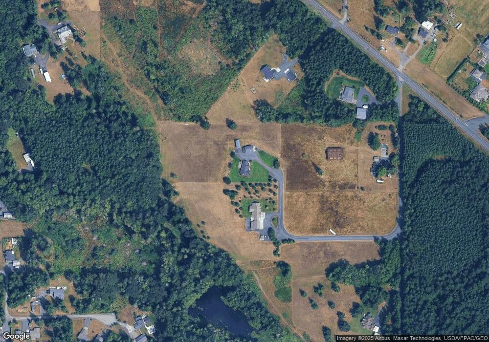
Map
Nearby Homes
- 200 Lot C Fineview Rd
- 200 Lot A Fineview
- 200 Lot B Fineview
- 597 Brown Rd E
- 607 Brown Rd E
- 1003 Old Hwy
- 146 Kaul Rd
- 0 Newaukum Valley Rd
- 667 Highway 603
- 236 Newaukum Valley Rd
- 115 Peaceful Ln
- 2094 Rice Rd
- 942 Shorey Rd
- 1656 Bishop Rd
- 140 Bowers Rd
- 1520 Rice Rd
- 1441 SW Snively Ave
- 117 SW Interstate Ave
- 523 Haywire Rd
- 213 Sommerville Rd
- 159 Cedargrove Ln
- 110 Cedargrove Ln
- 886 Highway 603
- 106 Cedargrove Ln
- 868 Highway 603
- 862 Highway 603
- 133 Cedargrove Ln
- 899 Highway 603
- 0 Hwy 603 Unit 1315889
- 0 Hwy 603 Unit 1239410
- 0 Hwy 603 Unit 1239405
- 0 Hwy 603 Unit 1652314
- 108 Sadie Ln
- 144 Trudy Ln
- 109 Sadie Ln
- 227 -B Brown Rd E
- 227 -A Brown Rd E
- 227 Brown Rd E
- 227 Brown Rd E Unit 38