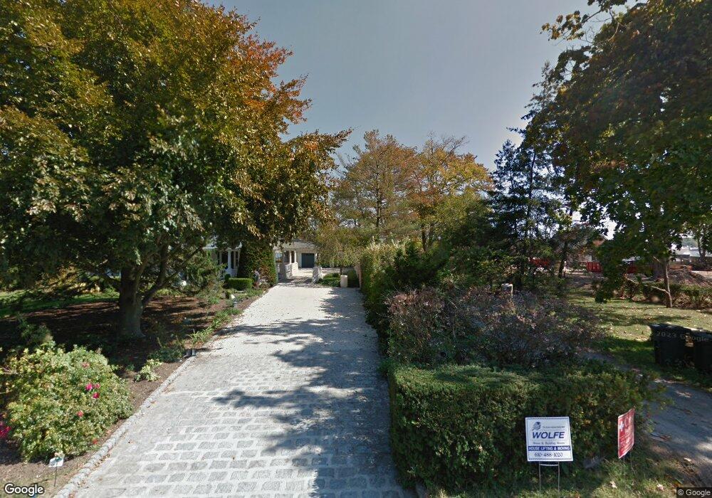
169 Comanche Dr Oceanport, NJ 07757
Estimated Value: $1,752,000 - $2,265,000
3
Beds
4
Baths
3,636
Sq Ft
$563/Sq Ft
Est. Value
About This Home
This home is located at 169 Comanche Dr, Oceanport, NJ 07757 and is currently estimated at $2,048,689, approximately $563 per square foot. 169 Comanche Dr is a home located in Monmouth County with nearby schools including Wolf Hill Elementary School, Maple Place Elementary and Middle School, and Shore Regional High School.
Ownership History
Date
Name
Owned For
Owner Type
Purchase Details
Closed on
Mar 3, 2016
Sold by
Freeman Scott M and Diamante Genevieve
Bought by
Diamante Genevieve
Current Estimated Value
Purchase Details
Closed on
Oct 30, 2002
Sold by
Shafir Lois
Bought by
Freeman Scott and Freeman Genevieve
Home Financials for this Owner
Home Financials are based on the most recent Mortgage that was taken out on this home.
Original Mortgage
$639,000
Outstanding Balance
$269,027
Interest Rate
6.09%
Estimated Equity
$1,779,662
Create a Home Valuation Report for This Property
The Home Valuation Report is an in-depth analysis detailing your home's value as well as a comparison with similar homes in the area
Home Values in the Area
Average Home Value in this Area
Purchase History
| Date | Buyer | Sale Price | Title Company |
|---|---|---|---|
| Diamante Genevieve | -- | None Available | |
| Freeman Scott | $852,000 | -- |
Source: Public Records
Mortgage History
| Date | Status | Borrower | Loan Amount |
|---|---|---|---|
| Open | Freeman Scott | $639,000 |
Source: Public Records
Tax History
| Year | Tax Paid | Tax Assessment Tax Assessment Total Assessment is a certain percentage of the fair market value that is determined by local assessors to be the total taxable value of land and additions on the property. | Land | Improvement |
|---|---|---|---|---|
| 2025 | $24,244 | $1,657,300 | $1,038,300 | $619,000 |
| 2024 | $24,662 | $1,535,400 | $943,300 | $592,100 |
| 2023 | $24,662 | $1,482,100 | $919,600 | $562,500 |
| 2022 | $21,374 | $1,224,800 | $729,600 | $495,200 |
| 2021 | $21,374 | $1,126,700 | $658,300 | $468,400 |
| 2020 | $21,446 | $1,173,200 | $639,300 | $533,900 |
| 2019 | $20,710 | $1,149,900 | $634,600 | $515,300 |
| 2018 | $20,461 | $1,143,700 | $634,600 | $509,100 |
| 2017 | $21,423 | $993,200 | $519,600 | $473,600 |
| 2016 | $21,194 | $989,000 | $524,400 | $464,600 |
| 2015 | $20,263 | $977,000 | $524,400 | $452,600 |
| 2014 | $19,908 | $973,500 | $571,900 | $401,600 |
Source: Public Records
Map
Nearby Homes
- 8 Pocahontas Ave
- 580 Patten Ave Unit 72
- 580 Patten Ave Unit 14
- 5 Marine Place
- 6 Cordelia Ct
- 28 Patten Ln
- 16 Shore Dr
- 15 Bayview Ct
- 491 Patten Ave
- 29 Shore Dr
- 165 Kingsley St
- 68 Seneca Place
- 66 Seneca Place
- 6 Ellis Ct
- 164 Airsdale Ave
- 66 Shrewsbury Ave
- 9 Manahassett Park Dr
- 25 Spaulding Place
- 3 Bayonne Ave
- 568 Shrewsbury Ave
- 165 Comanche Dr
- 175 Comanche Dr
- 177 Comanche Dr
- 183 Comanche Dr
- 157 Comanche Dr
- 185 Comanche Dr
- 161 Comanche Dr
- 187 Comanche Dr
- 189 Comanche Dr
- 155 Comanche Dr
- 174 Comanche Dr
- 164 Comanche Dr
- 170 Comanche Dr
- 180 Comanche Dr
- 191 Comanche Dr
- 26 Mohican Ave
- 9 Nicholson Place
- 184 Comanche Dr
- 1 Nicholson Place
- 4 Horicon Ave
Your Personal Tour Guide
Ask me questions while you tour the home.