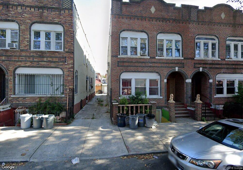
169 E 91st St Brooklyn, NY 11212
East Flatbush NeighborhoodEstimated Value: $781,000 - $1,033,000
Studio
--
Bath
2,680
Sq Ft
$347/Sq Ft
Est. Value
About This Home
This home is located at 169 E 91st St, Brooklyn, NY 11212 and is currently estimated at $929,667, approximately $346 per square foot. 169 E 91st St is a home located in Kings County with nearby schools including P.S. 219 Kennedy King, East Flatbush Community Research School, and Kings Elementary School.
Ownership History
Date
Name
Owned For
Owner Type
Purchase Details
Closed on
Dec 7, 2006
Sold by
Paul George and Paul Natalie E
Bought by
Paul George and Paul Patrice
Current Estimated Value
Purchase Details
Closed on
Mar 9, 2005
Sold by
Lewis Yvonne B and Lewis Paul George
Bought by
Paul George and Paul Natalie
Create a Home Valuation Report for This Property
The Home Valuation Report is an in-depth analysis detailing your home's value as well as a comparison with similar homes in the area
Home Values in the Area
Average Home Value in this Area
Purchase History
| Date | Buyer | Sale Price | Title Company |
|---|---|---|---|
| Paul George | -- | -- | |
| Paul George | -- | -- | |
| Paul George | -- | -- | |
| Paul George | -- | -- |
Source: Public Records
Mortgage History
| Date | Status | Borrower | Loan Amount |
|---|---|---|---|
| Closed | Paul George | $0 |
Source: Public Records
Tax History
| Year | Tax Paid | Tax Assessment Tax Assessment Total Assessment is a certain percentage of the fair market value that is determined by local assessors to be the total taxable value of land and additions on the property. | Land | Improvement |
|---|---|---|---|---|
| 2025 | $7,282 | $53,460 | $21,660 | $31,800 |
| 2024 | $7,282 | $55,920 | $21,660 | $34,260 |
| 2023 | $6,949 | $68,160 | $21,660 | $46,500 |
| 2022 | $6,444 | $58,140 | $21,660 | $36,480 |
| 2021 | $6,409 | $54,420 | $21,660 | $32,760 |
| 2020 | $3,186 | $48,420 | $21,660 | $26,760 |
| 2019 | $6,320 | $52,560 | $21,660 | $30,900 |
| 2018 | $5,812 | $28,513 | $14,100 | $14,413 |
| 2017 | $5,484 | $26,900 | $16,830 | $10,070 |
| 2016 | $5,074 | $25,380 | $15,347 | $10,033 |
| 2015 | $2,841 | $25,380 | $15,622 | $9,758 |
| 2014 | $2,841 | $25,179 | $14,354 | $10,825 |
Source: Public Records
Map
Nearby Homes
- 187 E 91st St
- 1017 Winthrop St
- 157 Remsen Ave
- 234 E 92nd St
- 210 Remsen Ave Unit 2F
- 994 Rutland Rd
- 234 E 93rd St
- 103 Remsen Ave
- 1102 Winthrop St Unit 4
- 26 E 55th St
- 61 E 54th St
- 202 E 96th St
- 76 E 54th St
- 52 E 55th St Unit 2FAM
- 136 Rockaway Pkwy
- 323 E 91st St
- 211 E 96th St Unit 4
- 336 E 91st St Unit 4
- 27 E 56th St
- 315 E 94th St
Your Personal Tour Guide
Ask me questions while you tour the home.