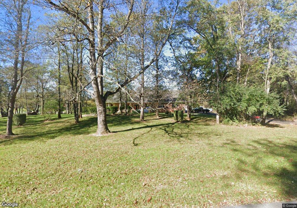
169 Fieldstone Dr Bunker Hill, WV 25413
Estimated Value: $527,000 - $655,000
6
Beds
6
Baths
5,900
Sq Ft
$100/Sq Ft
Est. Value
About This Home
This home is located at 169 Fieldstone Dr, Bunker Hill, WV 25413 and is currently estimated at $588,435, approximately $99 per square foot. 169 Fieldstone Dr is a home located in Berkeley County with nearby schools including Bunker Hill Elementary School, Mill Creek Intermediate School, and Musselman Middle School.
Ownership History
Date
Name
Owned For
Owner Type
Purchase Details
Closed on
Feb 11, 2016
Sold by
Green Michael T and Stone Stefany K
Bought by
Green Michael T
Current Estimated Value
Home Financials for this Owner
Home Financials are based on the most recent Mortgage that was taken out on this home.
Original Mortgage
$229,600
Outstanding Balance
$181,876
Interest Rate
3.92%
Mortgage Type
New Conventional
Estimated Equity
$406,559
Create a Home Valuation Report for This Property
The Home Valuation Report is an in-depth analysis detailing your home's value as well as a comparison with similar homes in the area
Home Values in the Area
Average Home Value in this Area
Purchase History
| Date | Buyer | Sale Price | Title Company |
|---|---|---|---|
| Green Michael T | $20,000 | Attorney |
Source: Public Records
Mortgage History
| Date | Status | Borrower | Loan Amount |
|---|---|---|---|
| Open | Green Michael T | $229,600 |
Source: Public Records
Tax History Compared to Growth
Tax History
| Year | Tax Paid | Tax Assessment Tax Assessment Total Assessment is a certain percentage of the fair market value that is determined by local assessors to be the total taxable value of land and additions on the property. | Land | Improvement |
|---|---|---|---|---|
| 2025 | $3,291 | $270,660 | $51,900 | $218,760 |
| 2024 | $3,271 | $266,580 | $50,400 | $216,180 |
| 2023 | $3,195 | $252,840 | $36,660 | $216,180 |
| 2022 | $2,738 | $235,260 | $36,660 | $198,600 |
| 2021 | $2,575 | $219,600 | $35,040 | $184,560 |
| 2020 | $2,456 | $209,100 | $35,040 | $174,060 |
| 2019 | $2,349 | $198,720 | $33,420 | $165,300 |
| 2018 | $2,453 | $207,180 | $32,880 | $174,300 |
| 2017 | $2,401 | $201,480 | $32,880 | $168,600 |
| 2016 | $2,378 | $197,700 | $32,880 | $164,820 |
| 2015 | $2,395 | $193,980 | $32,880 | $161,100 |
| 2014 | $2,379 | $192,120 | $32,880 | $159,240 |
Source: Public Records
Map
Nearby Homes
- 444 Fieldstone Dr
- 139 Pinnacle Dr
- 113 Spade End Rd
- 112 Chimney Dr
- 725 Henshaw Rd
- 229 Charming Ln
- 0 Mish Rd
- 26 Lieutenant Ct
- 1250 Mish Rd
- 590 Wendover Dr
- 36 Runnymeade Rd
- 9872 Winchester Ave
- 60 Grey Spring Ave
- 43 Scarboro Dr
- 25 Mish Rd
- 380 Wendover Dr
- 9434 Winchester Ave
- 195 Isaac Dr
- 132 Calvert Cir
- 224 Isaac Dr
- 207 Fieldstone Dr
- 50 Max Miller Ln
- 78 Fieldstone Dr
- 87 Fieldstone Dr
- 130 Fieldstone Dr
- 168 Fieldstone Dr
- 86 Fieldstone Dr
- 31 Fieldstone Dr
- 230 Fieldstone Dr
- 40 Fieldstone Dr
- 34 Fieldstone Dr
- 235 Fieldstone Dr
- 1090 Runnymeade Rd
- 280 Fieldstone Dr
- 1390 Runnymeade Rd
- 351 Fieldstone Dr
- 351 Fieldstone Dr
- 873 Fieldstone Dr
- 185 Max Miller Ln
- 1432 Runnymeade Rd