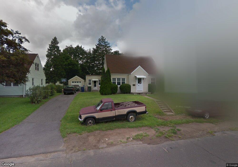
169 Hooker Rd Bridgeport, CT 06610
North Bridgeport NeighborhoodEstimated Value: $349,000 - $582,000
4
Beds
1
Bath
1,456
Sq Ft
$299/Sq Ft
Est. Value
About This Home
This home is located at 169 Hooker Rd, Bridgeport, CT 06610 and is currently estimated at $436,025, approximately $299 per square foot. 169 Hooker Rd is a home located in Fairfield County with nearby schools including Hooker School and Harding High School.
Ownership History
Date
Name
Owned For
Owner Type
Purchase Details
Closed on
Jun 9, 1997
Sold by
Palumbo John N Est
Bought by
Schilling Michael W and Schilling Denise K
Current Estimated Value
Create a Home Valuation Report for This Property
The Home Valuation Report is an in-depth analysis detailing your home's value as well as a comparison with similar homes in the area
Home Values in the Area
Average Home Value in this Area
Purchase History
| Date | Buyer | Sale Price | Title Company |
|---|---|---|---|
| Schilling Michael W | $94,000 | -- | |
| Schilling Michael W | $94,000 | -- |
Source: Public Records
Mortgage History
| Date | Status | Borrower | Loan Amount |
|---|---|---|---|
| Open | Schilling Michael W | $111,079 | |
| Closed | Schilling Michael W | $70,000 | |
| Closed | Schilling Michael W | $91,959 | |
| Closed | Schilling Michael W | $27,430 |
Source: Public Records
Tax History
| Year | Tax Paid | Tax Assessment Tax Assessment Total Assessment is a certain percentage of the fair market value that is determined by local assessors to be the total taxable value of land and additions on the property. | Land | Improvement |
|---|---|---|---|---|
| 2025 | $6,845 | $157,540 | $65,850 | $91,690 |
| 2024 | $6,845 | $157,540 | $65,850 | $91,690 |
| 2023 | $6,845 | $157,540 | $65,850 | $91,690 |
| 2022 | $6,845 | $157,540 | $65,850 | $91,690 |
| 2021 | $6,845 | $157,540 | $65,850 | $91,690 |
| 2020 | $6,852 | $126,910 | $54,020 | $72,890 |
| 2019 | $6,852 | $126,910 | $54,020 | $72,890 |
| 2018 | $6,900 | $126,910 | $54,020 | $72,890 |
| 2017 | $6,900 | $126,910 | $54,020 | $72,890 |
| 2016 | $6,900 | $126,910 | $54,020 | $72,890 |
| 2015 | $6,144 | $145,590 | $52,790 | $92,800 |
| 2014 | $6,144 | $145,590 | $52,790 | $92,800 |
Source: Public Records
Map
Nearby Homes
- 119 Jennings Ave
- 3699 Broadbridge Ave Unit 330
- 3699 Broadbridge Ave Unit 101
- 120 Huntington Turnpike Unit 202
- 132 Virginia Ave Unit 132
- 211 Louisiana Ave Unit D
- 186 Louisiana Ave Unit D
- 11 Nob Hill Cir
- 11 Knollcrest Dr
- 285 Hillcrest Rd
- 261 Pennsylvania Ave
- 250 Dayton Rd
- 154 Virginia Ave Unit B
- 33 Louisiana Ave Unit 35
- 207 Hillcrest Rd
- 156 Dayton Rd
- 74 Hollywood Ave
- 72 Broadmere Rd
- 769 Sylvan Ave Unit 13
- 153 Marigold Ave
- 153 Hooker Rd
- 690 Huntington Turnpike
- 37 E Kensington Place
- 199 Hooker Rd
- 158 Hooker Rd
- 172 Hooker Rd
- 11 E Kensington Place
- 672 Huntington Turnpike
- 186 Hooker Rd
- 706 Huntington Turnpike
- 720 Huntington Turnpike
- 73 E Kensington Place
- 209 Hooker Rd
- 200 Hooker Rd
- 38 E Kensington Place
- 732 Huntington Turnpike
- 630 Huntington Turnpike
- 212 Hooker Rd
- 229 Hooker Rd
- 101 E Kensington Place
Your Personal Tour Guide
Ask me questions while you tour the home.