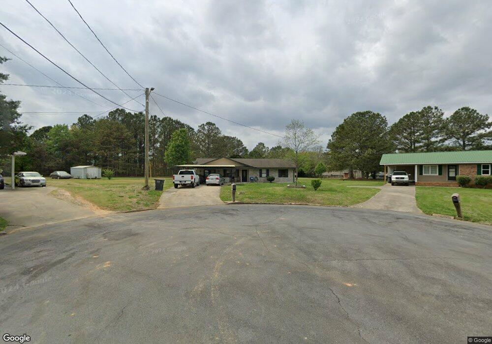
169 Laurel Place SW Calhoun, GA 30701
Estimated Value: $224,919 - $245,000
4
Beds
2
Baths
1,165
Sq Ft
$200/Sq Ft
Est. Value
About This Home
This home is located at 169 Laurel Place SW, Calhoun, GA 30701 and is currently estimated at $232,980, approximately $199 per square foot. 169 Laurel Place SW is a home located in Gordon County with nearby schools including Calhoun Primary School, Calhoun Elementary School, and Calhoun Middle School.
Ownership History
Date
Name
Owned For
Owner Type
Purchase Details
Closed on
Aug 3, 2009
Sold by
Duke Gary
Bought by
Delgado Luis S
Current Estimated Value
Home Financials for this Owner
Home Financials are based on the most recent Mortgage that was taken out on this home.
Original Mortgage
$93,279
Outstanding Balance
$60,973
Interest Rate
5.26%
Mortgage Type
FHA
Estimated Equity
$172,007
Purchase Details
Closed on
Dec 15, 1989
Sold by
Holmes Wallace
Bought by
Massingill Cathy L
Create a Home Valuation Report for This Property
The Home Valuation Report is an in-depth analysis detailing your home's value as well as a comparison with similar homes in the area
Home Values in the Area
Average Home Value in this Area
Purchase History
| Date | Buyer | Sale Price | Title Company |
|---|---|---|---|
| Delgado Luis S | -- | -- | |
| Massingill Cathy L | $49,500 | -- |
Source: Public Records
Mortgage History
| Date | Status | Borrower | Loan Amount |
|---|---|---|---|
| Open | Delgado Luis S | $93,279 |
Source: Public Records
Tax History Compared to Growth
Tax History
| Year | Tax Paid | Tax Assessment Tax Assessment Total Assessment is a certain percentage of the fair market value that is determined by local assessors to be the total taxable value of land and additions on the property. | Land | Improvement |
|---|---|---|---|---|
| 2024 | $1,515 | $53,880 | $5,200 | $48,680 |
| 2023 | $1,417 | $50,400 | $5,200 | $45,200 |
| 2022 | $448 | $47,040 | $5,200 | $41,840 |
| 2021 | $1,158 | $38,880 | $5,200 | $33,680 |
| 2020 | $1,180 | $39,320 | $5,200 | $34,120 |
| 2019 | $1,178 | $39,320 | $5,200 | $34,120 |
| 2018 | $334 | $34,720 | $5,040 | $29,680 |
| 2017 | $323 | $32,840 | $5,040 | $27,800 |
| 2016 | $324 | $32,840 | $5,040 | $27,800 |
| 2015 | $321 | $32,200 | $5,040 | $27,160 |
| 2014 | $307 | $31,219 | $5,040 | $26,179 |
Source: Public Records
Map
Nearby Homes
- 0 Highway 53 Spur SW Unit 7529096
- 261 Liberty Ln SW
- 490 McDaniel Station Rd SW
- 506 McDaniel Station Rd SW
- 458 McDaniel Station Rd SW
- 474 McDaniel Station Rd SW
- 0 Reeves Station Rd SW Unit 10548197
- 0 Reeves Station Rd SW Unit 7601645
- 121 Foxhall Dr SW
- 00 Belmont Dr
- 130 Brookstone Dr SW
- 137 Regency Row SW
- 1401 U S 41
- 1311 Us Highway 41
- 1943 Rome Rd SW
- 0 W Belmont Dr Unit 10489910
- 413 Beamer Rd SW
- 176 Village Way SW
- The Braselton II Plan at Fair Oak
- The Reynolds Plan at Fair Oak
- 175 Laurel Place SW
- 179 Laurel Place SW
- 162 Laurel Place SW
- 165 Laurel Place SW
- 327 Flora Dr SW
- 325 Flora Dr SW
- 437 Flora Dr SW
- 427 Flora Dr SW
- 160 Laurel Place SW
- 353 Flora Dr SW
- 151 Laurel Place SW
- 415 Flora Dr SW
- 449 Flora Dr SW
- 319 Flora Dr SW
- 158 Laurel Place SW
- 375 Flora Dr SW
- 401 Flora Dr SW
- 315 Flora Dr SW
- 179 Holly Dr SW
- 144 Laurel Place SW