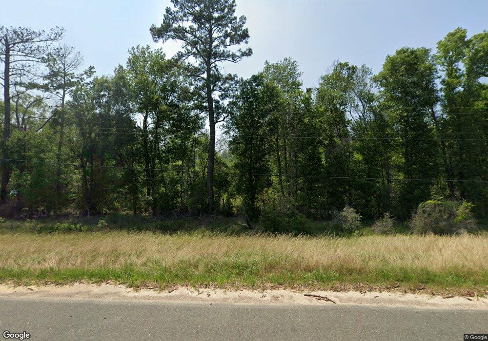
169 Loop Rd Merryville, LA 70653
Estimated Value: $94,000 - $179,000
3
Beds
2
Baths
2,827
Sq Ft
$53/Sq Ft
Est. Value
About This Home
This home is located at 169 Loop Rd, Merryville, LA 70653 and is currently estimated at $148,814, approximately $52 per square foot. 169 Loop Rd is a home located in Beauregard Parish with nearby schools including Merryville High School.
Ownership History
Date
Name
Owned For
Owner Type
Purchase Details
Closed on
Jun 11, 2021
Sold by
Baumgarten Robert Martin and Baumgarten Diannah Heard
Bought by
Mccormick Larry Michael and Mccormick Amanda Dawn
Current Estimated Value
Home Financials for this Owner
Home Financials are based on the most recent Mortgage that was taken out on this home.
Original Mortgage
$147,283
Outstanding Balance
$133,346
Interest Rate
2.9%
Mortgage Type
New Conventional
Estimated Equity
$15,468
Purchase Details
Closed on
Nov 30, 2018
Sold by
Heard Shirley Jean
Bought by
Baumgarten Robert Martin and Baumgarten Diannah Heard
Create a Home Valuation Report for This Property
The Home Valuation Report is an in-depth analysis detailing your home's value as well as a comparison with similar homes in the area
Home Values in the Area
Average Home Value in this Area
Purchase History
| Date | Buyer | Sale Price | Title Company |
|---|---|---|---|
| Mccormick Larry Michael | $150,000 | None Available | |
| Baumgarten Robert Martin | -- | None Available | |
| Heard Shirley Jean | -- | None Available |
Source: Public Records
Mortgage History
| Date | Status | Borrower | Loan Amount |
|---|---|---|---|
| Open | Mccormick Larry Michael | $147,283 |
Source: Public Records
Tax History Compared to Growth
Tax History
| Year | Tax Paid | Tax Assessment Tax Assessment Total Assessment is a certain percentage of the fair market value that is determined by local assessors to be the total taxable value of land and additions on the property. | Land | Improvement |
|---|---|---|---|---|
| 2024 | $712 | $5,865 | $1,365 | $4,500 |
| 2023 | $776 | $5,967 | $1,467 | $4,500 |
| 2022 | $776 | $5,967 | $1,467 | $4,500 |
| 2021 | $687 | $5,767 | $1,267 | $4,500 |
| 2020 | $687 | $5,767 | $1,267 | $4,500 |
| 2019 | $656 | $5,449 | $949 | $4,500 |
| 2018 | $656 | $5,449 | $949 | $4,500 |
| 2017 | $656 | $5,449 | $949 | $4,500 |
| 2016 | $661 | $5,449 | $949 | $4,500 |
| 2015 | -- | $5,428 | $928 | $4,500 |
| 2014 | -- | $5,428 | $928 | $4,500 |
Source: Public Records
Map
Nearby Homes
- 0 Browning Rd
- 508 Louisiana 110
- 676 Louisiana 110
- 0 Highway 190
- 915 N Bryan St
- 908 Hennigan St
- 507 Hennigan St Unit St
- 1986 N 3rd St
- 715 Frazier St
- 4002 Division St
- 0 Hwy 110 Tract #2 Unit 26-5111
- 0 Hwy 110 Tract #1 Unit 26-5114
- 0 S 6th St
- 158 Riley Foshee Rd
- 0 Tbd La-389 Lot 1 Unit Lot 1 27-28
- 0 Tbd La-389 Lot 2 Unit Lot 2 27-29
- 283 Louisiana 111
- 674 Stanley Hebert Rd
- 0 Cole Rd
- 269 Cole Rd
- 192 Loop Rd
- 174 Loop Rd
- 173 Loop Rd
- 10506 Highway 190 W
- 10250 Highway 190 W
- 10258 Highway 190 W
- 10275 Highway 190 W
- 165 Eugene Perry Rd
- 10618 Highway 190 W
- 167 Eugene Perry Rd
- 217 Bennett Pit Rd
- 1801 Sand Lake Rd
- 10162 Highway 190 W
- 274 Sand Lake Rd
- 185 Eugene Perry Rd
- 322 Sand Lake Rd
- 177 Bennett Pit Rd
- 10692 Highway 190 W
- 247 Sand Lake Rd
- 10140 Highway 190 W
