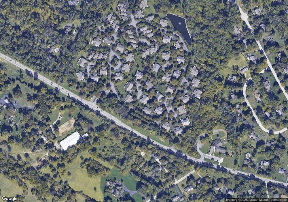
169 Monmouth Cir Unit 69 Berwyn, PA 19312
Estimated Value: $835,980 - $917,000
3
Beds
3
Baths
3,405
Sq Ft
$257/Sq Ft
Est. Value
About This Home
This home is located at 169 Monmouth Cir Unit 69, Berwyn, PA 19312 and is currently estimated at $874,245, approximately $256 per square foot. 169 Monmouth Cir Unit 69 is a home located in Chester County with nearby schools including Beaumont Elementary School, Tredyffrin-Easttown Middle School, and Conestoga Senior High School.
Ownership History
Date
Name
Owned For
Owner Type
Purchase Details
Closed on
May 21, 2010
Sold by
Erickson Ann B and Estate Of Mary B Erickson
Bought by
Farmer Mark A and Farmer Susan S
Current Estimated Value
Home Financials for this Owner
Home Financials are based on the most recent Mortgage that was taken out on this home.
Original Mortgage
$417,000
Outstanding Balance
$280,319
Interest Rate
5.11%
Mortgage Type
New Conventional
Estimated Equity
$593,926
Purchase Details
Closed on
Sep 12, 1997
Sold by
Miller Dorothy L
Bought by
Erickson John A and Erickson Mary B
Create a Home Valuation Report for This Property
The Home Valuation Report is an in-depth analysis detailing your home's value as well as a comparison with similar homes in the area
Home Values in the Area
Average Home Value in this Area
Purchase History
| Date | Buyer | Sale Price | Title Company |
|---|---|---|---|
| Farmer Mark A | $575,000 | Commonwealth Land Title Insu | |
| Erickson John A | $365,000 | -- |
Source: Public Records
Mortgage History
| Date | Status | Borrower | Loan Amount |
|---|---|---|---|
| Open | Farmer Mark A | $417,000 |
Source: Public Records
Tax History Compared to Growth
Tax History
| Year | Tax Paid | Tax Assessment Tax Assessment Total Assessment is a certain percentage of the fair market value that is determined by local assessors to be the total taxable value of land and additions on the property. | Land | Improvement |
|---|---|---|---|---|
| 2025 | $11,882 | $281,370 | $96,020 | $185,350 |
| 2024 | $11,882 | $318,550 | $96,020 | $222,530 |
| 2023 | $11,110 | $318,550 | $96,020 | $222,530 |
| 2022 | $10,806 | $318,550 | $96,020 | $222,530 |
| 2021 | $10,571 | $318,550 | $96,020 | $222,530 |
| 2020 | $10,277 | $318,550 | $96,020 | $222,530 |
| 2019 | $9,991 | $318,550 | $96,020 | $222,530 |
| 2018 | $9,818 | $318,550 | $96,020 | $222,530 |
| 2017 | $9,596 | $318,550 | $96,020 | $222,530 |
| 2016 | -- | $318,550 | $96,020 | $222,530 |
| 2015 | -- | $318,550 | $96,020 | $222,530 |
| 2014 | -- | $318,550 | $96,020 | $222,530 |
Source: Public Records
Map
Nearby Homes
- 206 Yorktown Place Unit 106
- 191 Stony Point Dr
- 837 Nathan Hale Rd
- 1179 Beaumont Rd
- 709 Newtown Rd
- 650 Augusta Ct
- 0 Prescott Rd Unit PACT2110528
- 2000 Saint Andrews Dr
- 1052 Prescott Rd
- 2490 White Horse Rd
- 600 Waynesfield Dr
- 311 Stoney Knoll Ln
- 315 Stoney Knoll Ln
- 659 Andover Rd
- 310 Stoney Knoll Ln
- 322 Stoney Knoll Ln
- 330 Stoney Knoll Ln
- 326 Stoney Knoll Ln
- 338 Stoney Knoll Ln
- 718 Lot 1 Waterloo
- 168 Monmouth Cir
- 170 Stony Point Dr Unit 70
- 170 Stony Point Dr
- 171 Stony Point Dr
- 171 Stony Point Dr Unit 71
- 161 Monmouth Cir Unit 61
- 174 Little Turtle Way Unit 74
- 167 Monmouth Cir Unit 67
- 160 Monmouth Cir
- 160 Monmouth Cr
- 175 Little Turtle Way Unit 75
- 173 Little Turtle Way Unit 73
- 166 Monmouth Cir
- 162 Monmouth Cir Unit 62
- 163 Monmouth Cir
- 172 Little Turtle Way Unit 72
- 165 Monmouth Cir
- 165 Monmouth Cir Unit 65
- 164 Monmouth Cir
- 164 Monmouth Cir Unit 64
