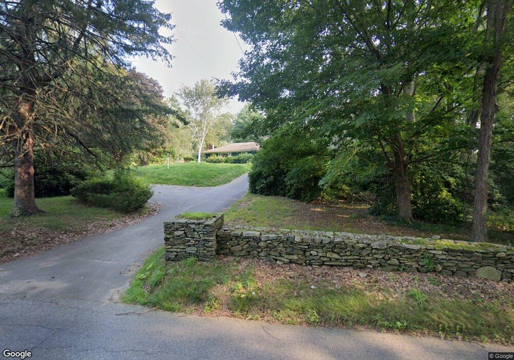
169 Moosup Pond Rd Danielson, CT 06239
Estimated Value: $361,000 - $394,000
2
Beds
1
Bath
1,486
Sq Ft
$253/Sq Ft
Est. Value
About This Home
This home is located at 169 Moosup Pond Rd, Danielson, CT 06239 and is currently estimated at $375,259, approximately $252 per square foot. 169 Moosup Pond Rd is a home with nearby schools including Plainfield Memorial School, Plainfield Central Middle School, and Plainfield High School.
Ownership History
Date
Name
Owned For
Owner Type
Purchase Details
Closed on
Dec 29, 2022
Sold by
Chenail Georgette S
Bought by
Bergevine Priscilla and Bergevine Wiliam
Current Estimated Value
Home Financials for this Owner
Home Financials are based on the most recent Mortgage that was taken out on this home.
Original Mortgage
$294,566
Outstanding Balance
$285,161
Interest Rate
6.61%
Mortgage Type
FHA
Estimated Equity
$90,098
Create a Home Valuation Report for This Property
The Home Valuation Report is an in-depth analysis detailing your home's value as well as a comparison with similar homes in the area
Home Values in the Area
Average Home Value in this Area
Purchase History
| Date | Buyer | Sale Price | Title Company |
|---|---|---|---|
| Bergevine Priscilla | $300,000 | None Available | |
| Bergevine Priscilla | $300,000 | None Available |
Source: Public Records
Mortgage History
| Date | Status | Borrower | Loan Amount |
|---|---|---|---|
| Open | Bergevine Priscilla | $294,566 | |
| Closed | Bergevine Priscilla | $294,566 |
Source: Public Records
Tax History
| Year | Tax Paid | Tax Assessment Tax Assessment Total Assessment is a certain percentage of the fair market value that is determined by local assessors to be the total taxable value of land and additions on the property. | Land | Improvement |
|---|---|---|---|---|
| 2025 | $4,556 | $190,940 | $32,870 | $158,070 |
| 2024 | $4,468 | $190,940 | $32,870 | $158,070 |
| 2023 | $4,352 | $190,940 | $32,870 | $158,070 |
| 2022 | $3,652 | $120,400 | $27,710 | $92,690 |
| 2021 | $3,688 | $120,400 | $27,710 | $92,690 |
| 2020 | $3,688 | $120,400 | $27,710 | $92,690 |
| 2019 | $3,688 | $120,400 | $27,710 | $92,690 |
| 2018 | $3,643 | $120,400 | $27,710 | $92,690 |
| 2017 | $3,623 | $112,440 | $26,120 | $86,320 |
| 2016 | $3,525 | $112,440 | $26,120 | $86,320 |
| 2015 | $3,447 | $112,440 | $26,120 | $86,320 |
| 2014 | $3,447 | $112,440 | $26,120 | $86,320 |
Source: Public Records
Map
Nearby Homes
- 0 Green Hollow Rd
- 277 Moosup Pond Rd
- 170 Putnam Rd
- 44-46 S Chestnut St
- 64 Whip Poor Will Dr
- 99 Squaw Rock Rd
- 30 S Walnut St
- 46-52 Wauregan Rd
- 420 Moosup Pond Rd
- 13 Henry Dr
- 28 Walas Rd
- 18 Bob White Way
- 0 Wauregan Rd NE Unit 24143170
- 25 Putnam Rd
- 0 Putnam Rd Unit 24147722
- 30 Main St
- 30 Mortimer Rd
- 58 Milner Ave
- 200 Pond Hill Rd
- 45 Main St Unit 308
- 185 Moosup Pond Rd
- 161 Moosup Pond Rd
- 151 Moosup Pond Rd
- 180 Moosup Pond Rd
- 166 Moosup Pond Rd
- 174 Moosup Pond Rd
- 265 Green Hollow Rd
- 143 Moosup Pond Rd
- 289 Green Hollow Rd
- 135 Moosup Pond Rd
- 270 Green Hollow Rd
- 296 Green Hollow Rd
- 313 Green Hollow Rd
- 306 Green Hollow Rd
- 245 Green Hollow Rd
- 323 Green Hollow Rd
- 227 Green Hollow Rd
- 224 Moosup Pond Rd
- 3 Juniper Ln
- 322 Green Hollow Rd
Your Personal Tour Guide
Ask me questions while you tour the home.