169 Private Road 4931 Springtown, TX 76082
Estimated Value: $528,177 - $723,000
--
Bed
--
Bath
2,379
Sq Ft
$254/Sq Ft
Est. Value
About This Home
This home is located at 169 Private Road 4931, Springtown, TX 76082 and is currently estimated at $605,294, approximately $254 per square foot. 169 Private Road 4931 is a home with nearby schools including Springtown Elementary School, Springtown Intermediate School, and Springtown Middle School.
Ownership History
Date
Name
Owned For
Owner Type
Purchase Details
Closed on
Oct 16, 2013
Sold by
Wilson W W and Wilson Rita
Bought by
Powell L Thomas and Powell Lori
Current Estimated Value
Purchase Details
Closed on
Dec 23, 2010
Sold by
Liles Damon H and Liles Mandy L
Bought by
Powell L Thomas and Powell Lori S
Purchase Details
Closed on
Oct 17, 2008
Sold by
Harris Ronald G
Bought by
Liles Damon H and Liles Mandy L
Purchase Details
Closed on
Nov 16, 2007
Sold by
Stewart Bertice L and Stewart Helen Kay
Bought by
Harris Ronald G
Purchase Details
Closed on
Nov 16, 2006
Sold by
Gardner Kathleen A
Bought by
Stewart Bertice L and Stewart Helen K
Create a Home Valuation Report for This Property
The Home Valuation Report is an in-depth analysis detailing your home's value as well as a comparison with similar homes in the area
Home Values in the Area
Average Home Value in this Area
Purchase History
| Date | Buyer | Sale Price | Title Company |
|---|---|---|---|
| Powell L Thomas | -- | None Available | |
| Powell L Thomas | -- | -- | |
| Liles Damon H | -- | -- | |
| Harris Ronald G | -- | -- | |
| Stewart Bertice L | -- | Wise County Title Company |
Source: Public Records
Tax History Compared to Growth
Tax History
| Year | Tax Paid | Tax Assessment Tax Assessment Total Assessment is a certain percentage of the fair market value that is determined by local assessors to be the total taxable value of land and additions on the property. | Land | Improvement |
|---|---|---|---|---|
| 2025 | $1,505 | $576,170 | -- | -- |
| 2024 | $1,505 | $523,791 | $0 | $0 |
| 2023 | $6,014 | $476,174 | $0 | $0 |
| 2022 | $7,069 | $432,885 | $0 | $0 |
| 2021 | $6,482 | $393,530 | $79,000 | $314,530 |
| 2020 | $6,155 | $370,620 | $68,250 | $302,370 |
| 2019 | $6,297 | $360,080 | $68,250 | $291,830 |
| 2018 | $6,021 | $342,770 | $52,530 | $290,240 |
| 2017 | $5,473 | $294,620 | $36,330 | $258,290 |
| 2016 | $4,976 | $266,930 | $31,280 | $235,650 |
| 2015 | -- | $261,740 | $31,280 | $230,460 |
| 2014 | -- | $51,360 | $29,450 | $21,910 |
Source: Public Records
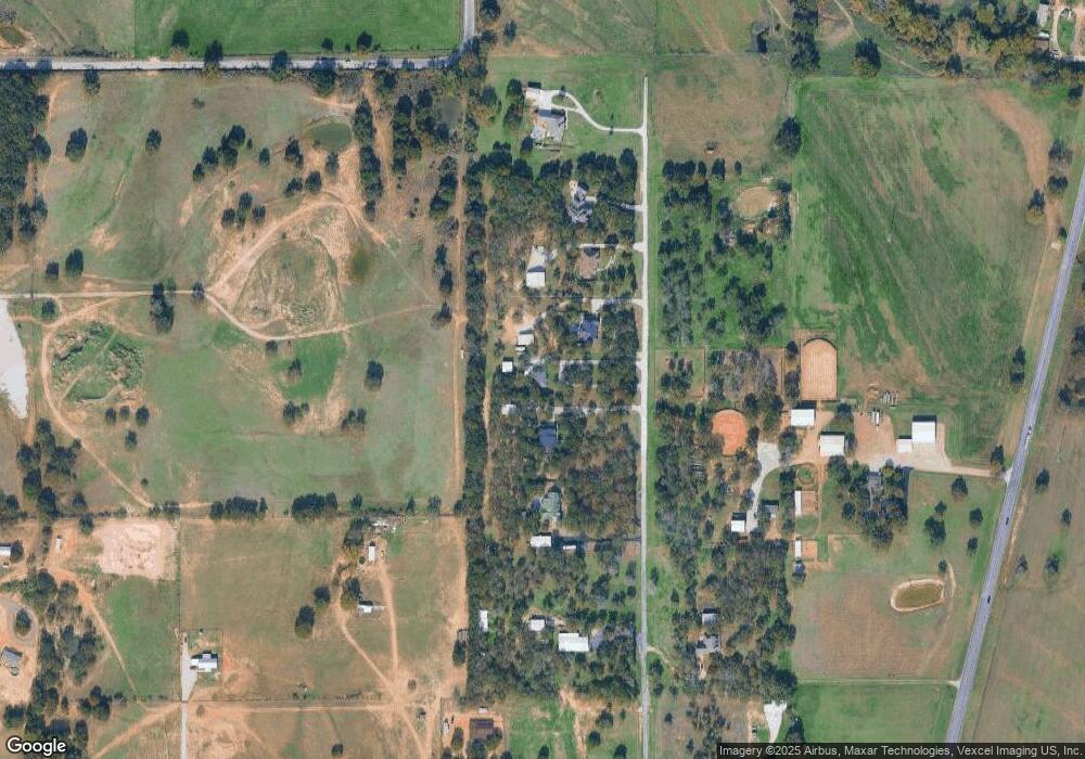
Map
Nearby Homes
- 245 County Road 3696
- 456 County Road 4797
- 165 County Road 4896
- 151 Bluff Ridge Ct
- 443 County Road 3699
- 823 County Road 3690
- 2432 Cottondale Rd
- 1389 County Road 3591
- 110 Daffodil Ln
- 106 Daffodil Ln
- 105 Bermuda Place
- 140 Greengate Dr
- 195 Greenhill Trail
- 144 Running River Dr
- 148 Greengate Dr
- 199 Birch Forest Ln
- 128 Birch Forest Ln
- 117 Bermuda Place
- 133 Hollytree Ln
- 120 Birch Forest Ln
- 133 Private Road 4931
- 157 Private Road 4931
- 173 Private Road 4931 Unit 4931
- 179 Private Road 4931
- 213 Private Road 4931
- 211 Private Road 4931
- 209 Private Road 4931
- 10154 S Fm 51
- 10028 S Fm 51
- 10028 S Fm 51
- 10028 S Fm 51
- 10028 S Fm 51
- 10196 S Fm 51
- 238 County Road 3696
- 102 Private Road 4931
- 216 Cr 3606 Rd
- 216 County Road 3696
- 224 County Road 3696
- 10155 S Fm 51
- 10155 S Fm 51