Estimated Value: $471,000 - $682,682
3
Beds
3
Baths
1,440
Sq Ft
$392/Sq Ft
Est. Value
About This Home
This home is located at 169 Ridge Top Cir, Clyde, NC 28721 and is currently estimated at $563,921, approximately $391 per square foot. 169 Ridge Top Cir is a home with nearby schools including Riverbend Elementary, Waynesville Middle, and Tuscola High.
Ownership History
Date
Name
Owned For
Owner Type
Purchase Details
Closed on
Mar 14, 2025
Sold by
Lindley Malcolm G and Maddox Lindley Katie
Bought by
Lindley Revocable Trust
Current Estimated Value
Purchase Details
Closed on
Aug 12, 2021
Sold by
Lindley Katie Maddox and Maddox Katie C
Bought by
Lindley Katie Maddox and Lindley Malcolm Gray
Purchase Details
Closed on
Sep 10, 1993
Bought by
Maddox Maddox S and Maddox Katie C
Create a Home Valuation Report for This Property
The Home Valuation Report is an in-depth analysis detailing your home's value as well as a comparison with similar homes in the area
Home Values in the Area
Average Home Value in this Area
Purchase History
| Date | Buyer | Sale Price | Title Company |
|---|---|---|---|
| Lindley Revocable Trust | -- | None Listed On Document | |
| Lindley Revocable Trust | -- | None Listed On Document | |
| Lindley Katie Maddox | -- | None Available | |
| Maddox Maddox S | $36,000 | -- |
Source: Public Records
Tax History Compared to Growth
Tax History
| Year | Tax Paid | Tax Assessment Tax Assessment Total Assessment is a certain percentage of the fair market value that is determined by local assessors to be the total taxable value of land and additions on the property. | Land | Improvement |
|---|---|---|---|---|
| 2025 | -- | $410,000 | $50,100 | $359,900 |
| 2024 | $2,785 | $410,300 | $50,400 | $359,900 |
| 2023 | $2,785 | $410,300 | $50,400 | $359,900 |
| 2022 | $2,723 | $410,300 | $50,400 | $359,900 |
| 2021 | $2,723 | $410,300 | $50,400 | $359,900 |
| 2020 | $2,203 | $302,800 | $44,100 | $258,700 |
| 2019 | $2,208 | $302,800 | $44,100 | $258,700 |
| 2018 | $2,208 | $302,800 | $44,100 | $258,700 |
| 2017 | $2,208 | $302,800 | $0 | $0 |
| 2016 | $1,977 | $276,400 | $0 | $0 |
| 2015 | $1,977 | $276,400 | $0 | $0 |
| 2014 | $1,837 | $276,400 | $0 | $0 |
Source: Public Records
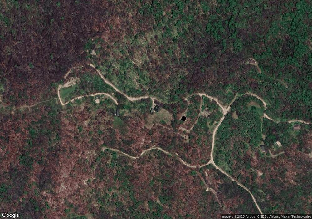
Map
Nearby Homes
- 39 Ridge Top Circle Rd
- 00 Barn Cove Rd Unit 61 & 62
- 9999 Barn Cove Rd
- 38 Barn Cove Rd
- 34 Barn Cove Rd
- 00 Hurricane Ridge Trace Unit 53
- 9999 Hurricane Ridge Trace
- 514 Skyridge Dr
- 185 Indian Springs Rd
- 00 Mountain Mission Rd
- 91 Jeter Rd
- 1231 Grandeur Heights
- 00000 Salt Rock Rd
- Lot 5 Mcnary Dr
- 0 Mcnary Dr
- 00 Mcnary Dr Unit 8
- 35 Flying Hawk Way
- 225 Fines Creek Rd
- 00 Chenoa Ridge
- 101 Serenity Ln
- 0 Pump House Ln Unit LOT 23, PT 22& 24
- 00 Ridge Top Circle Rd
- 0 Ridge Top Circle Rd
- 95 Ridge Top Circle Rd
- 95 Ridgetop View Rd
- 95 Ridge Top Cir
- 590 Ridge Top Cir
- 590 Ridge Top Cir Unit 41 & 42
- 121 Windswept Way
- 31 Ridgetop View Rd
- 40 Ridge Top Circle Rd
- 29 Ridge Top Circle Rd Unit Lot 29
- 530 Ridge Top Cir
- 00 Pumphouse Rd Unit 19
- TBD Ridge Top Circle None Unit 37 & 38
- 00 Pump House Rd
- 000 Ridge Top Cir Unit 69, 70, 71
- 224 Skyridge Drive Ridge Top Cir Unit 69, 70, 71
- 000 Barn Cove Rd Unit 1,2,4
- 000 Barn Cove Rd