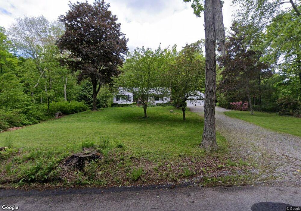
169 Ross Rd Preston, CT 06365
Estimated Value: $358,000 - $470,000
3
Beds
2
Baths
1,472
Sq Ft
$275/Sq Ft
Est. Value
About This Home
This home is located at 169 Ross Rd, Preston, CT 06365 and is currently estimated at $404,447, approximately $274 per square foot. 169 Ross Rd is a home located in New London County.
Ownership History
Date
Name
Owned For
Owner Type
Purchase Details
Closed on
Jul 5, 2023
Sold by
Allyn Clifford E
Bought by
Allyn James R and Nader Cynthia A
Current Estimated Value
Purchase Details
Closed on
Oct 15, 2014
Sold by
Allyn Clifford E and Cox-Allyn Mary
Bought by
Allyn Clifford E and Cox-Allyn Mary
Purchase Details
Closed on
Jul 31, 2014
Sold by
Lopresti Joseph C and Lopresti Paul A
Bought by
Allyn Clifford E and Cox-Allyn Mary
Purchase Details
Closed on
Jan 1, 1987
Bought by
Allyn Clifford E and Cox Mary
Create a Home Valuation Report for This Property
The Home Valuation Report is an in-depth analysis detailing your home's value as well as a comparison with similar homes in the area
Home Values in the Area
Average Home Value in this Area
Purchase History
| Date | Buyer | Sale Price | Title Company |
|---|---|---|---|
| Allyn James R | -- | None Available | |
| Allyn Clifford E | -- | -- | |
| Allyn Clifford E | -- | -- | |
| Allyn Clifford E | -- | -- |
Source: Public Records
Tax History
| Year | Tax Paid | Tax Assessment Tax Assessment Total Assessment is a certain percentage of the fair market value that is determined by local assessors to be the total taxable value of land and additions on the property. | Land | Improvement |
|---|---|---|---|---|
| 2025 | $4,695 | $186,970 | $54,740 | $132,230 |
| 2024 | $4,369 | $186,970 | $54,740 | $132,230 |
| 2023 | $4,291 | $186,970 | $54,740 | $132,230 |
| 2022 | $3,683 | $132,100 | $47,800 | $84,300 |
| 2021 | $3,559 | $132,100 | $47,800 | $84,300 |
| 2020 | $3,553 | $132,100 | $47,800 | $84,300 |
| 2019 | $3,491 | $132,100 | $47,800 | $84,300 |
| 2018 | $3,439 | $132,100 | $47,800 | $84,300 |
| 2017 | $3,319 | $138,300 | $47,800 | $90,500 |
| 2016 | $3,285 | $138,300 | $47,800 | $90,500 |
| 2015 | $3,181 | $138,300 | $47,800 | $90,500 |
| 2014 | $3,159 | $136,500 | $46,000 | $90,500 |
Source: Public Records
Map
Nearby Homes
- 26 Tanglewood Dr
- 9 Mains Way
- 381 Route 2
- 6 Lake of Isles Rd
- 4 Lake of Isles Rd
- 36 NW Corner Rd
- 57 NW Corner Rd
- 256 Route 2
- 991 Shewville Rd
- 55A Anna Farm Rd W
- 0 Lake of Isles Rd Unit 170371521
- 15 Paster Rd
- 381 Route 164
- 7 Halls Mill Rd
- 14 Abbey Rd
- 16 Abbey Rd
- 36 Route 2a
- 19 Cedarcrest Dr
- 25 Coachman Pike
- 104 Route 2a
Your Personal Tour Guide
Ask me questions while you tour the home.