169 S 100 E Mendon, UT 84325
Estimated Value: $768,000 - $984,612
6
Beds
5
Baths
4,969
Sq Ft
$173/Sq Ft
Est. Value
About This Home
This home is located at 169 S 100 E, Mendon, UT 84325 and is currently estimated at $859,903, approximately $173 per square foot. 169 S 100 E is a home located in Cache County with nearby schools including Mountainside School, South Cache Middle School, and Mountain Crest High School.
Ownership History
Date
Name
Owned For
Owner Type
Purchase Details
Closed on
Dec 14, 2021
Sold by
Anderson Bruce W
Bought by
Anderson Bruce W and Anderson Elizabeth B
Current Estimated Value
Purchase Details
Closed on
Feb 27, 2015
Sold by
Macvest Ltd
Bought by
Anderson Bruce W and Anderson Elizabeth B
Home Financials for this Owner
Home Financials are based on the most recent Mortgage that was taken out on this home.
Original Mortgage
$207,541
Interest Rate
3.65%
Mortgage Type
Seller Take Back
Purchase Details
Closed on
Feb 10, 2014
Sold by
Deutsche Bank National Trust Company
Bought by
Macvest Ltd
Purchase Details
Closed on
Jul 10, 2013
Sold by
Anderson Bruce W and Anderson Elizabeth B
Bought by
Deutsche Bank National Trust Company and Hsi Asset Loan Obligation Trust 2007-Ar1
Create a Home Valuation Report for This Property
The Home Valuation Report is an in-depth analysis detailing your home's value as well as a comparison with similar homes in the area
Purchase History
| Date | Buyer | Sale Price | Title Company |
|---|---|---|---|
| Anderson Bruce W | -- | New Title Company Name | |
| Anderson Bruce W | -- | Cache Title Company Inc | |
| Macvest Ltd | -- | United Title Services | |
| Deutsche Bank National Trust Company | $500,406 | Etitle Insurance Agency |
Source: Public Records
Mortgage History
| Date | Status | Borrower | Loan Amount |
|---|---|---|---|
| Previous Owner | Anderson Bruce W | $207,541 |
Source: Public Records
Tax History
| Year | Tax Paid | Tax Assessment Tax Assessment Total Assessment is a certain percentage of the fair market value that is determined by local assessors to be the total taxable value of land and additions on the property. | Land | Improvement |
|---|---|---|---|---|
| 2025 | $3,656 | $483,745 | $0 | $0 |
| 2024 | $3,901 | $483,745 | $0 | $0 |
| 2023 | $3,865 | $455,455 | $0 | $0 |
| 2022 | $3,892 | $455,455 | $0 | $0 |
| 2021 | $3,468 | $603,155 | $77,840 | $525,315 |
| 2020 | $3,114 | $500,097 | $77,840 | $422,257 |
| 2019 | $3,282 | $500,097 | $77,840 | $422,257 |
| 2018 | $2,936 | $445,020 | $77,840 | $367,180 |
| 2014 | $2,494 | $206,645 | $0 | $0 |
| 2013 | -- | $206,645 | $0 | $0 |
Source: Public Records
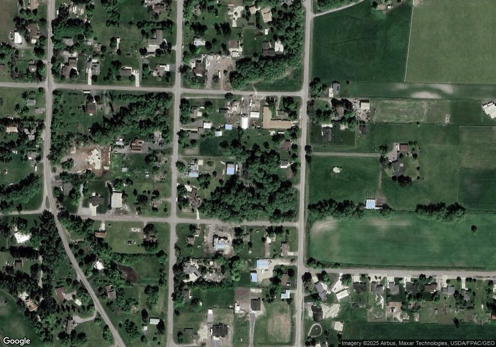
Map
Nearby Homes
- 1811 S 5900 W
- 54 W 200 N
- 2500 S 6400 W
- 6770 W 400 S
- 876 N 75 W Unit 9
- 967 N 75 W Unit 63
- 59 W 1050 N Unit 18
- 993 N 75 W Unit 64
- 948 N 75 W Unit 11
- 42 W 850 N Unit 5
- 1044 N 75 W Unit 15
- 850 N 51 W Unit 59
- 74 W 850 N Unit 7
- 915 N 75 W Unit 61
- 850 N 73 W Unit 60
- 26 W 850 N Unit 4
- 1045 N 75 W Unit 66
- 1052 N 75 W Unit 16
- 996 N 75 W Unit 13
- 972 N 75 W Unit 12
Your Personal Tour Guide
Ask me questions while you tour the home.