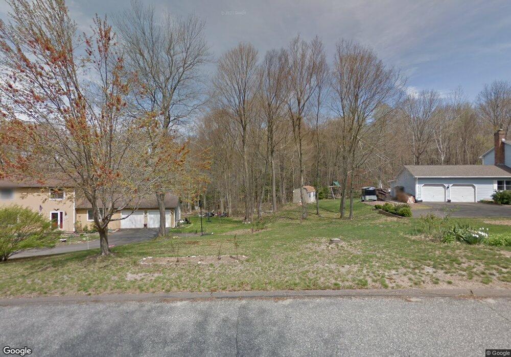
169 Satari Dr Coventry, CT 06238
Estimated Value: $854,000 - $922,360
4
Beds
5
Baths
3,207
Sq Ft
$277/Sq Ft
Est. Value
About This Home
This home is located at 169 Satari Dr, Coventry, CT 06238 and is currently estimated at $889,120, approximately $277 per square foot. 169 Satari Dr is a home with nearby schools including Coventry Grammar School, George Hersey Robertson School, and Capt. Nathan Hale School.
Ownership History
Date
Name
Owned For
Owner Type
Purchase Details
Closed on
Oct 1, 2020
Sold by
Nordic Builders Of Tollan
Bought by
Eichorn David L and Eichorn Ashley L
Current Estimated Value
Home Financials for this Owner
Home Financials are based on the most recent Mortgage that was taken out on this home.
Original Mortgage
$562,493
Outstanding Balance
$500,308
Interest Rate
2.9%
Mortgage Type
Purchase Money Mortgage
Estimated Equity
$388,812
Create a Home Valuation Report for This Property
The Home Valuation Report is an in-depth analysis detailing your home's value as well as a comparison with similar homes in the area
Home Values in the Area
Average Home Value in this Area
Purchase History
| Date | Buyer | Sale Price | Title Company |
|---|---|---|---|
| Eichorn David L | $642,112 | None Available | |
| Eichorn David L | $642,112 | None Available |
Source: Public Records
Mortgage History
| Date | Status | Borrower | Loan Amount |
|---|---|---|---|
| Open | Eichorn David L | $562,493 | |
| Closed | Eichorn David L | $562,493 |
Source: Public Records
Tax History
| Year | Tax Paid | Tax Assessment Tax Assessment Total Assessment is a certain percentage of the fair market value that is determined by local assessors to be the total taxable value of land and additions on the property. | Land | Improvement |
|---|---|---|---|---|
| 2025 | $14,783 | $622,200 | $76,100 | $546,100 |
| 2024 | $13,747 | $412,700 | $76,000 | $336,700 |
| 2023 | $13,099 | $412,700 | $76,000 | $336,700 |
| 2022 | $13,681 | $439,200 | $66,200 | $373,000 |
| 2021 | $13,681 | $439,200 | $66,200 | $373,000 |
| 2020 | $1,861 | $59,700 | $59,700 | $0 |
| 2019 | $1,922 | $59,700 | $59,700 | $0 |
| 2018 | $1,922 | $59,700 | $59,700 | $0 |
| 2017 | $1,910 | $59,700 | $59,700 | $0 |
| 2016 | $1,863 | $59,700 | $59,700 | $0 |
| 2015 | $1,863 | $59,700 | $59,700 | $0 |
| 2014 | $1,868 | $65,600 | $65,600 | $0 |
Source: Public Records
Map
Nearby Homes
- 93 Dockerel Rd
- 151 Pine Hill Rd
- 7 Laurelwood Ln Unit Lot 15
- 12 Laurelwood Ln Unit lot 8
- 16 Higgins Way
- 0 Mile Hill Rd
- 5 Laurelwood Ln Unit lot 16
- 361 Dunn Rd
- 23 Neville St
- 279 Mark Dr
- 64 Columbine Rd
- 0 Boston Turnpike Unit 24128587
- 612 Broad Way
- 395 Grant Hill Rd Unit Lot21
- 395 Grant Hill (Mill Race Drive) Lot #21 Rd
- 162 Loehr Rd
- 37 Wolf Hill Rd Unit Lot 40
- 37 Wolf Hill Lot (#40) Rd
- 39 Josephine Way
- 38 Josephine Way
- 151 Satari Dr
- 164 Satari Dr
- 160 Satari Dr
- 156 Satari Dr
- 145 Satari Dr
- 145 Satari Dr
- 145 Satari Dr Unit Lot 17
- 146 Satari Dr
- 1026 Cedar Swamp Rd
- 136 Satari Dr
- 135 Satari Dr
- 1020 Cedar Swamp Rd
- 128 Satari Dr
- 1040 Cedar Swamp Rd
- 1194 Cedar Swamp Rd
- 127 Satari Dr
- 122 Satari Dr
- 1030 Cedar Swamp Rd
- 22 Zeya Dr
- 117 Satari Dr
Your Personal Tour Guide
Ask me questions while you tour the home.