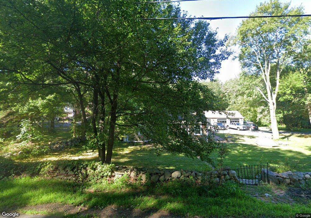
169 Tiffany Rd Norwell, MA 02061
Estimated Value: $693,000 - $818,000
3
Beds
1
Bath
1,404
Sq Ft
$522/Sq Ft
Est. Value
About This Home
This home is located at 169 Tiffany Rd, Norwell, MA 02061 and is currently estimated at $732,866, approximately $521 per square foot. 169 Tiffany Rd is a home located in Plymouth County with nearby schools including William Gould Vinal, Norwell Middle School, and Norwell High School.
Ownership History
Date
Name
Owned For
Owner Type
Purchase Details
Closed on
Mar 27, 2017
Sold by
Snowdale Arlene G Est
Bought by
Gillard Michelle Y and Curran Connor
Current Estimated Value
Home Financials for this Owner
Home Financials are based on the most recent Mortgage that was taken out on this home.
Original Mortgage
$215,900
Outstanding Balance
$146,172
Interest Rate
4.17%
Mortgage Type
New Conventional
Estimated Equity
$586,694
Create a Home Valuation Report for This Property
The Home Valuation Report is an in-depth analysis detailing your home's value as well as a comparison with similar homes in the area
Home Values in the Area
Average Home Value in this Area
Purchase History
| Date | Buyer | Sale Price | Title Company |
|---|---|---|---|
| Gillard Michelle Y | $240,000 | -- | |
| Gillard Michelle Y | $240,000 | -- |
Source: Public Records
Mortgage History
| Date | Status | Borrower | Loan Amount |
|---|---|---|---|
| Open | Gillard Michelle Y | $215,900 | |
| Closed | Gillard Michelle Y | $215,900 |
Source: Public Records
Tax History Compared to Growth
Tax History
| Year | Tax Paid | Tax Assessment Tax Assessment Total Assessment is a certain percentage of the fair market value that is determined by local assessors to be the total taxable value of land and additions on the property. | Land | Improvement |
|---|---|---|---|---|
| 2025 | $8,133 | $622,300 | $398,600 | $223,700 |
| 2024 | $8,388 | $623,200 | $376,200 | $247,000 |
| 2023 | $7,559 | $494,400 | $289,300 | $205,100 |
| 2022 | $7,522 | $452,600 | $251,800 | $200,800 |
| 2021 | $0 | $412,000 | $264,900 | $147,100 |
| 2020 | $6,409 | $385,400 | $264,900 | $120,500 |
| 2019 | $0 | $376,100 | $264,900 | $111,200 |
| 2018 | $5,843 | $357,600 | $264,900 | $92,700 |
| 2017 | $3,973 | $333,100 | $264,900 | $68,200 |
| 2016 | $5,496 | $333,100 | $264,900 | $68,200 |
| 2015 | $5,613 | $340,200 | $264,900 | $75,300 |
| 2014 | $5,369 | $328,000 | $264,000 | $64,000 |
Source: Public Records
Map
Nearby Homes
- 198 Pine St
- 37 Tara Dr
- 20 Meadow Brook Rd
- 14 Longwood Ln Unit 14
- 28 Riverside Dr
- 10 Shrine Rd
- 28 Old Shipyard Ln
- 16 Broad Oak Way
- 0 Island View Cir
- 11 Silver Brook Ln Unit 11
- 260 River St
- 250 River St
- 133 Brigantine Cir
- 2 Curtis Farm Rd
- 55 Shipyard Ln
- 61 Deborah Rd
- 180 Elm St
- 62 Larchmont Ln
- 107 Washington St
- 72 Chittenden Ln
- 165 Tiffany Rd
- 178 Tiffany Rd
- 172 Tiffany Rd
- 159 Tiffany Rd
- 184 Tiffany Rd
- 164 Tiffany Rd
- 190 Tiffany Rd
- 189 Tiffany Rd
- 151 Tiffany Rd
- 156 Tiffany Rd
- 185 Tiffany Rd
- 199 Tiffany Rd
- 143 Tiffany Rd
- 205 Tiffany Rd
- 200 Tiffany Rd
- 137 Tiffany Rd
- 76 Brook Bend Rd
- 212 Tiffany Rd
- 66 Brook Bend Rd
- 58 Brook Bend Rd