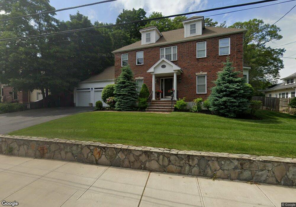
169 Walnut St Dedham, MA 02026
Oakdale NeighborhoodEstimated Value: $1,281,000 - $1,348,691
4
Beds
4
Baths
3,500
Sq Ft
$372/Sq Ft
Est. Value
About This Home
This home is located at 169 Walnut St, Dedham, MA 02026 and is currently estimated at $1,303,423, approximately $372 per square foot. 169 Walnut St is a home located in Norfolk County with nearby schools including Avery, Dedham Middle School, and Dedham High School.
Ownership History
Date
Name
Owned For
Owner Type
Purchase Details
Closed on
May 17, 2011
Sold by
Dufort James R and Dufort Andrea M
Bought by
Oconnor Keith O and Oconnor Melinda L
Current Estimated Value
Home Financials for this Owner
Home Financials are based on the most recent Mortgage that was taken out on this home.
Original Mortgage
$417,000
Outstanding Balance
$289,796
Interest Rate
4.88%
Mortgage Type
Purchase Money Mortgage
Estimated Equity
$1,013,627
Purchase Details
Closed on
May 30, 2008
Sold by
Walnut One Llc
Bought by
Dufort Andrea M and Dufort James R
Home Financials for this Owner
Home Financials are based on the most recent Mortgage that was taken out on this home.
Original Mortgage
$417,000
Interest Rate
5.91%
Mortgage Type
Purchase Money Mortgage
Purchase Details
Closed on
Jul 13, 2006
Sold by
Dedham Westwoo Water D
Bought by
Walnut One Llc
Home Financials for this Owner
Home Financials are based on the most recent Mortgage that was taken out on this home.
Original Mortgage
$400,000
Interest Rate
6.71%
Mortgage Type
Purchase Money Mortgage
Create a Home Valuation Report for This Property
The Home Valuation Report is an in-depth analysis detailing your home's value as well as a comparison with similar homes in the area
Home Values in the Area
Average Home Value in this Area
Purchase History
| Date | Buyer | Sale Price | Title Company |
|---|---|---|---|
| Oconnor Keith O | $664,000 | -- | |
| Dufort Andrea M | $687,500 | -- | |
| Walnut One Llc | $186,000 | -- |
Source: Public Records
Mortgage History
| Date | Status | Borrower | Loan Amount |
|---|---|---|---|
| Open | Oconnor Keith O | $417,000 | |
| Previous Owner | Walnut One Llc | $417,000 | |
| Previous Owner | Walnut One Llc | $133,000 | |
| Previous Owner | Dufort Andrea M | $417,000 | |
| Previous Owner | Walnut One Llc | $400,000 |
Source: Public Records
Tax History
| Year | Tax Paid | Tax Assessment Tax Assessment Total Assessment is a certain percentage of the fair market value that is determined by local assessors to be the total taxable value of land and additions on the property. | Land | Improvement |
|---|---|---|---|---|
| 2025 | $15,110 | $1,197,300 | $380,800 | $816,500 |
| 2024 | $15,079 | $1,206,300 | $365,900 | $840,400 |
| 2023 | $12,556 | $977,900 | $321,000 | $656,900 |
| 2022 | $11,548 | $865,000 | $293,600 | $571,400 |
| 2021 | $11,002 | $804,800 | $298,700 | $506,100 |
| 2020 | $11,006 | $802,200 | $285,700 | $516,500 |
| 2019 | $10,737 | $758,800 | $277,100 | $481,700 |
| 2018 | $10,639 | $731,200 | $249,500 | $481,700 |
| 2017 | $9,966 | $675,200 | $221,300 | $453,900 |
| 2016 | $9,641 | $622,400 | $199,800 | $422,600 |
| 2015 | $10,658 | $671,600 | $229,700 | $441,900 |
| 2014 | $10,397 | $646,600 | $229,700 | $416,900 |
Source: Public Records
Map
Nearby Homes
- 73 Walnut St
- 213 River St
- 105 Oakdale Ave
- 147 Mount Vernon St
- 90 High St Unit 309
- 108 High St
- 30 High St ( Cass St Entrance) Unit 209
- 46 Park St
- 56 Mount Vernon St
- 7 S Stone Mill Dr Unit 412
- 7 S Stone Mill Dr Unit 403
- 22 N Stone Mill Dr Unit 1111
- 16 N Stone Mill Dr Unit 1014
- 28 Linden Place
- 12 Blossom St
- 19 Lewis Ln
- 442 High St
- 38 Fleming St
- 68 Reed St
- 153 Colburn St
Your Personal Tour Guide
Ask me questions while you tour the home.