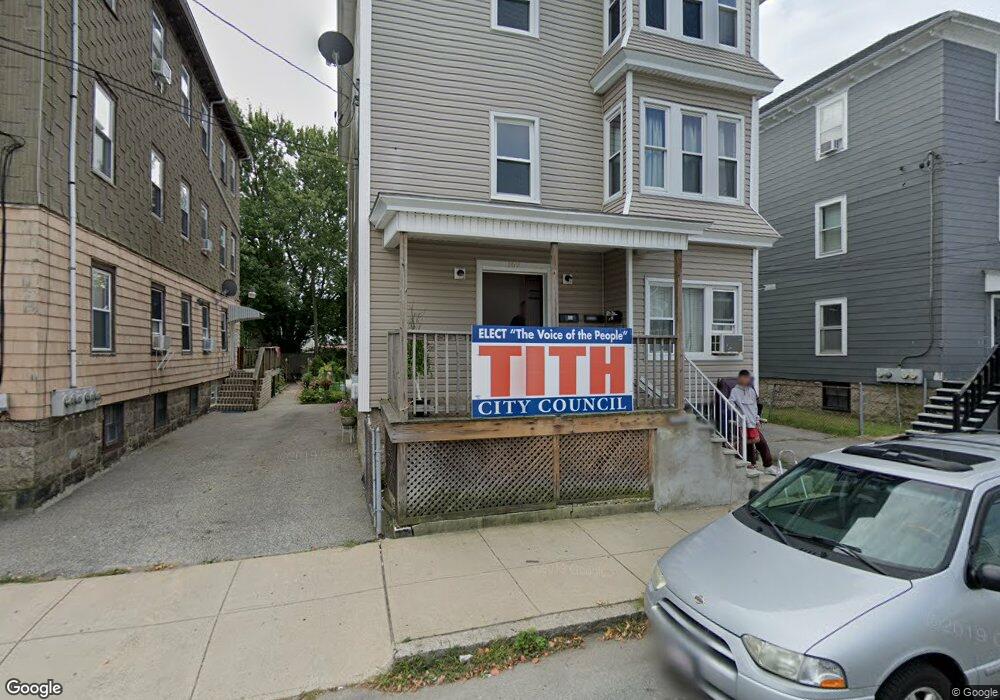
169 Wamsutta St Fall River, MA 02723
Flint NeighborhoodEstimated Value: $545,000 - $680,000
9
Beds
3
Baths
3,192
Sq Ft
$199/Sq Ft
Est. Value
About This Home
This home is located at 169 Wamsutta St, Fall River, MA 02723 and is currently estimated at $634,667, approximately $198 per square foot. 169 Wamsutta St is a home located in Bristol County with nearby schools including Samuel Watson, Talbot Innovation School, and B M C Durfee High School.
Ownership History
Date
Name
Owned For
Owner Type
Purchase Details
Closed on
Nov 3, 2011
Sold by
Ameen Lillian
Bought by
Tith Ricky T
Current Estimated Value
Home Financials for this Owner
Home Financials are based on the most recent Mortgage that was taken out on this home.
Original Mortgage
$141,629
Outstanding Balance
$96,857
Interest Rate
4.08%
Mortgage Type
Purchase Money Mortgage
Estimated Equity
$537,810
Create a Home Valuation Report for This Property
The Home Valuation Report is an in-depth analysis detailing your home's value as well as a comparison with similar homes in the area
Home Values in the Area
Average Home Value in this Area
Purchase History
| Date | Buyer | Sale Price | Title Company |
|---|---|---|---|
| Tith Ricky T | $96,000 | -- |
Source: Public Records
Mortgage History
| Date | Status | Borrower | Loan Amount |
|---|---|---|---|
| Open | Tith Ricky T | $141,629 |
Source: Public Records
Tax History Compared to Growth
Tax History
| Year | Tax Paid | Tax Assessment Tax Assessment Total Assessment is a certain percentage of the fair market value that is determined by local assessors to be the total taxable value of land and additions on the property. | Land | Improvement |
|---|---|---|---|---|
| 2025 | $4,994 | $436,200 | $101,500 | $334,700 |
| 2024 | $4,749 | $413,300 | $94,800 | $318,500 |
| 2023 | $4,201 | $342,400 | $79,500 | $262,900 |
| 2022 | $3,742 | $296,500 | $75,700 | $220,800 |
| 2021 | $3,434 | $248,300 | $72,400 | $175,900 |
| 2020 | $3,091 | $213,900 | $70,100 | $143,800 |
| 2019 | $2,694 | $184,800 | $70,100 | $114,700 |
| 2018 | $2,480 | $169,600 | $74,200 | $95,400 |
| 2017 | $2,374 | $169,600 | $74,200 | $95,400 |
| 2016 | $2,505 | $183,800 | $90,800 | $93,000 |
| 2015 | $2,360 | $180,400 | $87,400 | $93,000 |
| 2014 | $2,501 | $198,800 | $97,000 | $101,800 |
Source: Public Records
Map
Nearby Homes
- 209 Harrison St
- 1244 Pleasant St
- 48 Rocliffe St
- 88 Harrison St Unit 5
- 32 Quequechan St
- 34 Quequechan St
- 25 Lebanon St Unit C
- 25 Lebanon St Unit D
- 83 Jencks St
- 178 Thomas St
- 71 Cash St
- 152 Alden St
- 159 Covel St
- 14 Downing St
- 23 Lexington St
- 1498 Pleasant St
- 138 18th St
- 529 Eastern Ave
- 108 16th St
- 31 Choate St
- 177 Wamsutta St
- 159 Wamsutta St
- 149 Wamsutta St
- 187 Wamsutta St
- 56 Hargraves St
- 197 Wamsutta St Unit 2
- 197 Wamsutta St
- 66 Hargraves St
- 66 Hargaves St
- 73 Massasoit St
- 73 Massasoit St Unit 2
- 203 Wamsutta St
- 70 Hargraves St
- 65 Massasoit St
- 65 Massasoit St Unit 3
- 217 Quequechan St
- 55 Massasoit St
- 191 Quequechan St
- 37 Hargraves St
- 1 Wamsutta St