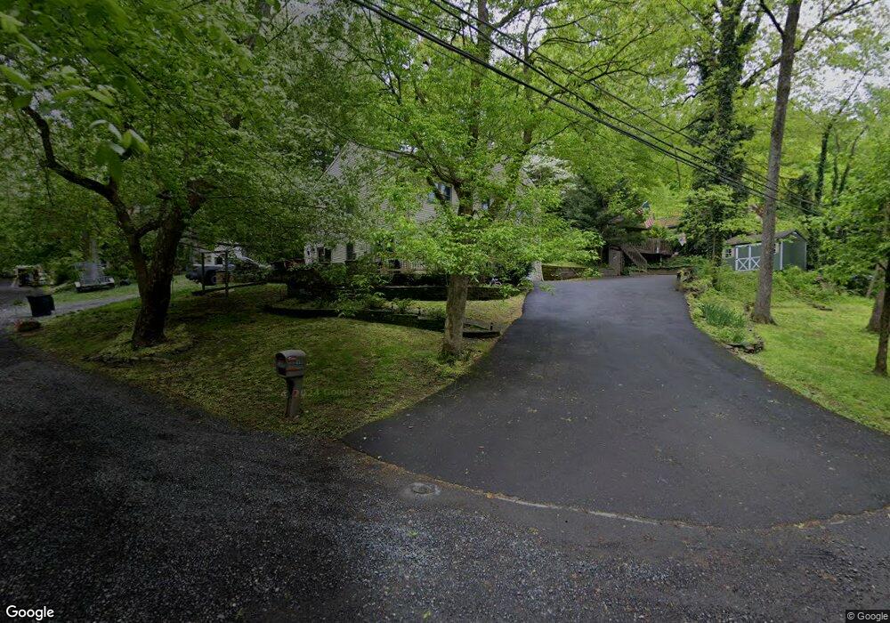
1690 Ravine St Langhorne, PA 19047
Estimated Value: $518,000 - $549,000
3
Beds
3
Baths
2,124
Sq Ft
$254/Sq Ft
Est. Value
About This Home
This home is located at 1690 Ravine St, Langhorne, PA 19047 and is currently estimated at $539,964, approximately $254 per square foot. 1690 Ravine St is a home located in Bucks County with nearby schools including Hoover Elementary School, Maple Point Middle School, and Neshaminy High School.
Ownership History
Date
Name
Owned For
Owner Type
Purchase Details
Closed on
Feb 25, 2011
Sold by
Burgess Richard P and Burgess Elaine M
Bought by
Arpa John A and Arpa Nicole
Current Estimated Value
Home Financials for this Owner
Home Financials are based on the most recent Mortgage that was taken out on this home.
Original Mortgage
$216,000
Outstanding Balance
$150,356
Interest Rate
5.07%
Mortgage Type
Purchase Money Mortgage
Estimated Equity
$389,608
Purchase Details
Closed on
Nov 30, 1998
Sold by
Reedel Keith C and Reedel Rebecca L
Bought by
Taylor James R
Create a Home Valuation Report for This Property
The Home Valuation Report is an in-depth analysis detailing your home's value as well as a comparison with similar homes in the area
Home Values in the Area
Average Home Value in this Area
Purchase History
| Date | Buyer | Sale Price | Title Company |
|---|---|---|---|
| Arpa John A | $270,000 | None Available | |
| Taylor James R | $14,000 | -- |
Source: Public Records
Mortgage History
| Date | Status | Borrower | Loan Amount |
|---|---|---|---|
| Open | Arpa John A | $216,000 |
Source: Public Records
Tax History Compared to Growth
Tax History
| Year | Tax Paid | Tax Assessment Tax Assessment Total Assessment is a certain percentage of the fair market value that is determined by local assessors to be the total taxable value of land and additions on the property. | Land | Improvement |
|---|---|---|---|---|
| 2025 | $6,836 | $31,400 | $640 | $30,760 |
| 2024 | $6,836 | $31,400 | $640 | $30,760 |
| 2023 | $6,727 | $31,400 | $640 | $30,760 |
| 2022 | $6,551 | $31,400 | $640 | $30,760 |
| 2021 | $6,551 | $31,400 | $640 | $30,760 |
| 2020 | $6,472 | $31,400 | $640 | $30,760 |
| 2019 | $6,328 | $31,400 | $640 | $30,760 |
| 2018 | $6,212 | $31,400 | $640 | $30,760 |
| 2017 | $6,053 | $31,400 | $640 | $30,760 |
| 2016 | $6,053 | $31,400 | $640 | $30,760 |
| 2015 | $6,242 | $31,400 | $640 | $30,760 |
| 2014 | $6,242 | $31,400 | $640 | $30,760 |
Source: Public Records
Map
Nearby Homes
- 225 Playwicki St
- 230 Playwicki St
- 523 Turtle Ln
- 257 Wisteria Ave
- 1605 Old Lincoln Hwy
- 2623 Sunnyside Ave
- 1210 Brownsville Rd
- 166 N Hawthorne Ave
- 739 Bridgeview Rd
- 710 Fox Ct
- 716 Ross Dr
- 935 Edgewood Ln
- 812 Green Ridge Cir
- 737 Lynwood Dr
- 1021 W Maple Ave
- 1516 Fairview Ave
- 1241 Ridge Rd
- 722 Autumn Dr
- 1632 Winter Ave
- 0 Prospect Ave
- 272 Playwicki St
- 1687 Ravine St
- 000 Brown Ave
- 274 Playwicki St
- 1688 Ravine St
- 236 Playwicki St
- 123 Brown Ave
- 76 Brown Ave
- 1667 Ravine St
- 276 Playwicki St
- 301 Playwicki St
- 1450 S Buckthorne Ave
- 217 Playwicki St
- 190 Playwicki St
- 363 Brown Ave
- 317 Playwicki St
- 316 Playwicki St
- 287 Brown Ave
- 169 Playwicki St
- 348 Deer Dr