1690 Sandstone Rd Durant, OK 74701
Estimated Value: $361,000 - $434,000
4
Beds
3
Baths
2,137
Sq Ft
$189/Sq Ft
Est. Value
About This Home
This home is located at 1690 Sandstone Rd, Durant, OK 74701 and is currently estimated at $403,353, approximately $188 per square foot. 1690 Sandstone Rd is a home with nearby schools including Silo Early Childhood Center, Silo Elementary School, and Silo Middle School.
Ownership History
Date
Name
Owned For
Owner Type
Purchase Details
Closed on
Jul 8, 2013
Sold by
Johnson Michael Justin and Johnson Michael J
Bought by
Wallace John and Wallace Carrie
Current Estimated Value
Purchase Details
Closed on
Feb 1, 2012
Sold by
Johnson Mary Elizabeth and Nunnally Mary Elizabeth
Bought by
Johnson Michael Justin
Purchase Details
Closed on
Nov 1, 2006
Sold by
Johnson Jana Kay
Bought by
Johnson Michael Justin
Purchase Details
Closed on
Oct 10, 2000
Sold by
Harrison Tod and Harrison Lori
Bought by
Harrison Jody and Harrison Rhonda
Purchase Details
Closed on
Apr 26, 1996
Sold by
Harrison Jody and Harrison Rhonda K
Bought by
Harrison Tod K and Harrison Lori L
Create a Home Valuation Report for This Property
The Home Valuation Report is an in-depth analysis detailing your home's value as well as a comparison with similar homes in the area
Home Values in the Area
Average Home Value in this Area
Purchase History
| Date | Buyer | Sale Price | Title Company |
|---|---|---|---|
| Wallace John | $12,500 | None Available | |
| Johnson Michael Justin | -- | None Available | |
| Johnson Michael Justin | -- | None Available | |
| Harrison Jody | $15,000 | -- | |
| Harrison Tod K | $12,500 | -- |
Source: Public Records
Tax History Compared to Growth
Tax History
| Year | Tax Paid | Tax Assessment Tax Assessment Total Assessment is a certain percentage of the fair market value that is determined by local assessors to be the total taxable value of land and additions on the property. | Land | Improvement |
|---|---|---|---|---|
| 2024 | $2,620 | $31,959 | $3,174 | $28,785 |
| 2023 | $2,620 | $30,731 | $2,871 | $27,860 |
| 2022 | $2,518 | $30,731 | $2,871 | $27,860 |
| 2021 | $2,456 | $30,731 | $2,871 | $27,860 |
| 2020 | $2,468 | $30,731 | $2,871 | $27,860 |
| 2019 | $475 | $6,630 | $2,788 | $3,842 |
| 2018 | $460 | $6,436 | $2,706 | $3,730 |
| 2017 | $387 | $6,249 | $2,612 | $3,637 |
| 2016 | $373 | $6,068 | $1,425 | $4,643 |
| 2015 | $447 | $6,065 | $1,375 | $4,690 |
| 2014 | $446 | $6,065 | $1,375 | $4,690 |
Source: Public Records
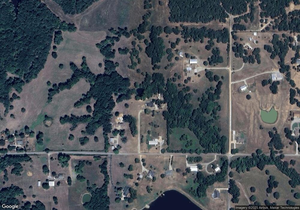
Map
Nearby Homes
- 236 Grove Way
- 19 Skylark Ln
- 00 Sandstone
- 19 Blake Ln
- 20 Blake Ln
- 0 Sand Trap Dr
- 18 Sandwedge
- 959 Knight Dr
- 203 Red Oak Dr
- 129 Highland Dr
- 001 Knight Dr
- 157 Lake Meadow Loop Rd
- 5616 Stonecreek Dr
- 5301 Stonebriar Cir
- 46 Aspen Cir
- 45 Aspen Cir
- 175 Maple Leaf Dr
- 84 Maple Leaf Dr
- 93 Maple Leaf Dr
- 83 Maple Leaf Dr
- 1620 Sandstone Rd
- 653 Sandstone Rd
- 1901 State Road 48
- 1901 State Road 48
- 110 Maple Leaf Dr
- 156 Maple Leaf Dr
- 227 Grove Way
- 181 Grove Way
- 165 Grove Way
- 209 Grove Way
- 148 Grove Way
- 104 Grove Way
- 126 Grove Way
- 80 Grove Way
- 36 Grove Way
- 58 Grove Way
- 708 Sandstone Rd
- 1581 Highway 48 N
- 1901 State Highway 48
- 20 Skylark