1690 Sells Rd Salisbury, NC 28144
Estimated Value: $326,628 - $408,000
Studio
2
Baths
1,863
Sq Ft
$199/Sq Ft
Est. Value
About This Home
This home is located at 1690 Sells Rd, Salisbury, NC 28144 and is currently estimated at $370,907, approximately $199 per square foot. 1690 Sells Rd is a home located in Rowan County with nearby schools including North Rowan Elementary School, North Rowan Middle School, and North Rowan High School.
Ownership History
Date
Name
Owned For
Owner Type
Purchase Details
Closed on
Jul 21, 2015
Sold by
Wear Mary Lisa Rufty
Bought by
Ross Jason F and Sengkamphong Saengaroun
Current Estimated Value
Home Financials for this Owner
Home Financials are based on the most recent Mortgage that was taken out on this home.
Original Mortgage
$178,750
Outstanding Balance
$139,670
Interest Rate
3.92%
Mortgage Type
VA
Estimated Equity
$231,237
Create a Home Valuation Report for This Property
The Home Valuation Report is an in-depth analysis detailing your home's value as well as a comparison with similar homes in the area
Purchase History
| Date | Buyer | Sale Price | Title Company |
|---|---|---|---|
| Ross Jason F | $175,000 | None Available |
Source: Public Records
Mortgage History
| Date | Status | Borrower | Loan Amount |
|---|---|---|---|
| Open | Ross Jason F | $178,750 |
Source: Public Records
Tax History
| Year | Tax Paid | Tax Assessment Tax Assessment Total Assessment is a certain percentage of the fair market value that is determined by local assessors to be the total taxable value of land and additions on the property. | Land | Improvement |
|---|---|---|---|---|
| 2025 | $2,074 | $309,597 | $53,255 | $256,342 |
| 2024 | $2,074 | $309,597 | $53,255 | $256,342 |
| 2023 | $2,074 | $309,597 | $53,255 | $256,342 |
| 2022 | $1,595 | $213,376 | $41,065 | $172,311 |
| 2021 | $1,556 | $213,376 | $41,065 | $172,311 |
| 2020 | $1,556 | $213,376 | $41,065 | $172,311 |
| 2019 | $1,556 | $213,376 | $41,065 | $172,311 |
| 2018 | $1,274 | $176,128 | $41,064 | $135,064 |
| 2017 | $1,274 | $176,128 | $41,064 | $135,064 |
| 2016 | $1,274 | $176,128 | $41,064 | $135,064 |
| 2015 | $1,293 | $176,128 | $41,064 | $135,064 |
| 2014 | $1,280 | $177,775 | $41,064 | $136,711 |
Source: Public Records
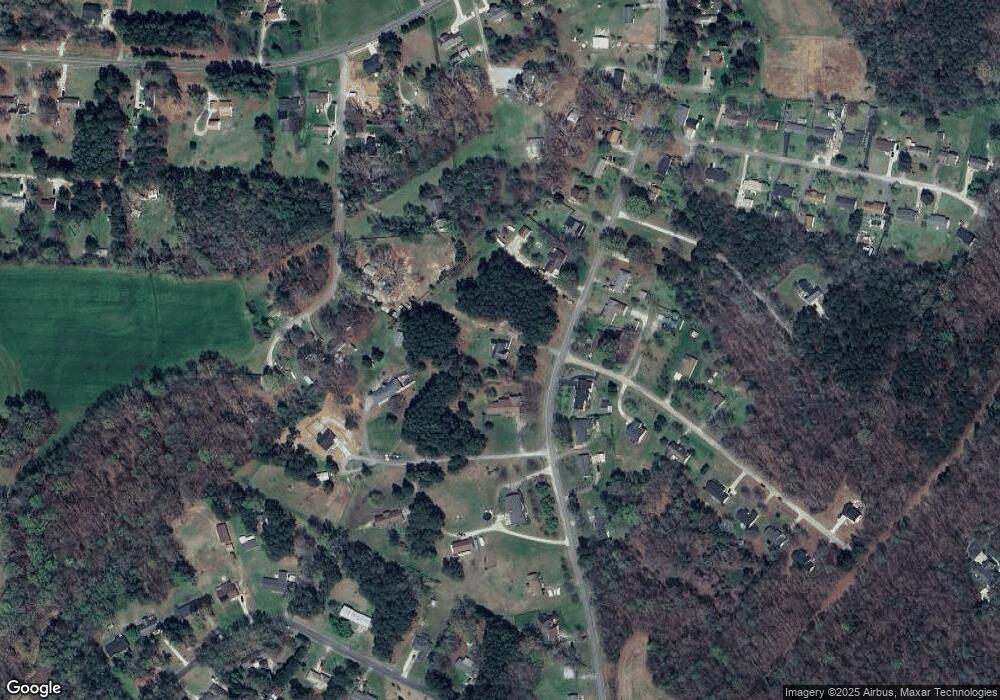
Map
Nearby Homes
- 1750 Sells Rd
- 1749 Sells Rd
- 255 Lariat Cir
- 235 Lariat Cir
- 350 Pinevale Dr
- 470 Nestlewood Ln
- 250 Douglas St
- 450 E Ridge Rd
- 240 Eldon Ln
- 4355 Franklin Community Center Rd
- 3230 W Innes St
- 307 Pantego Place
- 417 Rugby Rd
- 1410 Amberlight Cir
- 413 Rugby Rd
- 1105 Silvertrace Dr
- 1456 Amberlight Cir
- 407 Rugby Rd
- 217 Pantego Place
- 270 North St
Your Personal Tour Guide
Ask me questions while you tour the home.