16901 Gorsuch Mill Rd Unit A Upperco, MD 21155
Estimated Value: $601,820 - $656,000
--
Bed
2
Baths
1,792
Sq Ft
$352/Sq Ft
Est. Value
About This Home
This home is located at 16901 Gorsuch Mill Rd Unit A, Upperco, MD 21155 and is currently estimated at $629,955, approximately $351 per square foot. 16901 Gorsuch Mill Rd Unit A is a home located in Baltimore County with nearby schools including Fifth District Elementary School, Hereford Middle School, and Hereford High School.
Ownership History
Date
Name
Owned For
Owner Type
Purchase Details
Closed on
Nov 13, 2019
Sold by
Csontos Tracy and Csontos Chris
Bought by
Rekus Michael J and Rekus Yvonne P
Current Estimated Value
Home Financials for this Owner
Home Financials are based on the most recent Mortgage that was taken out on this home.
Original Mortgage
$386,750
Outstanding Balance
$339,559
Interest Rate
3.5%
Mortgage Type
New Conventional
Estimated Equity
$290,396
Purchase Details
Closed on
Feb 28, 2019
Sold by
Lock Donna Lorraine
Bought by
Csontos Tracy and Csontos Chris
Purchase Details
Closed on
Jun 3, 1980
Sold by
Harden Raymond K
Bought by
Lock David W and Lock Donna Lorraine
Create a Home Valuation Report for This Property
The Home Valuation Report is an in-depth analysis detailing your home's value as well as a comparison with similar homes in the area
Home Values in the Area
Average Home Value in this Area
Purchase History
| Date | Buyer | Sale Price | Title Company |
|---|---|---|---|
| Rekus Michael J | $455,000 | Broadview Title | |
| Csontos Tracy | $190,000 | Black Oak Title Llc | |
| Lock David W | $67,500 | -- |
Source: Public Records
Mortgage History
| Date | Status | Borrower | Loan Amount |
|---|---|---|---|
| Open | Rekus Michael J | $386,750 |
Source: Public Records
Tax History Compared to Growth
Tax History
| Year | Tax Paid | Tax Assessment Tax Assessment Total Assessment is a certain percentage of the fair market value that is determined by local assessors to be the total taxable value of land and additions on the property. | Land | Improvement |
|---|---|---|---|---|
| 2025 | $4,596 | $524,700 | $99,200 | $425,500 |
| 2024 | $4,596 | $489,800 | $0 | $0 |
| 2023 | $2,207 | $454,900 | $0 | $0 |
| 2022 | $4,185 | $420,000 | $94,700 | $325,300 |
| 2021 | $3,377 | $367,033 | $0 | $0 |
| 2020 | $3,867 | $314,067 | $0 | $0 |
| 2019 | $3,165 | $261,100 | $94,700 | $166,400 |
| 2018 | $2,960 | $248,267 | $0 | $0 |
| 2017 | $2,750 | $235,433 | $0 | $0 |
| 2016 | $2,442 | $222,600 | $0 | $0 |
| 2015 | $2,442 | $222,600 | $0 | $0 |
| 2014 | $2,442 | $222,600 | $0 | $0 |
Source: Public Records
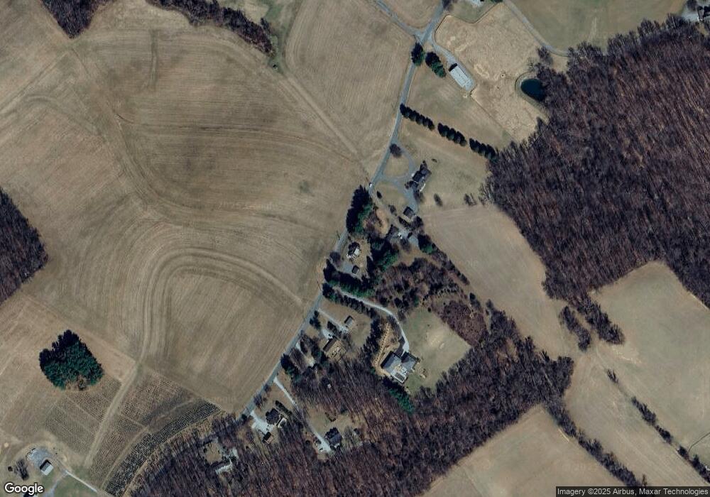
Map
Nearby Homes
- 3220 Mount Carmel Rd
- 3116 Mount Carmel Rd
- 1 Singletree Ct
- 42 Bush Cabin Ct
- 0 Falls Rd Unit MDBC2120964
- 17606 Pretty Boy Dam Rd
- 17718 Pretty Boy Dam Rd
- 18319 Foreston Rd
- 16535 Trenton Rd
- 18401 Foreston Rd
- 18423 Foreston Rd
- 2105 Stringtown Rd
- 15651 Duncan Hill Rd
- 16418 Cedar Grove Rd
- 16306 Trenton Rd
- 14815 Dover Rd
- 18626 Gunpowder Rd
- 17515 Masemore Rd
- 1016 Cold Bottom Rd
- 1124 Cedarbrook Rd
- 16901A Gorsuch Mill Rd
- 16903 Gorsuch Mill Rd
- 16823 Gorsuch Mill Rd
- 16911 Gorsuch Mill Rd
- 16821 Gorsuch Mill Rd
- 16819 Gorsuch Mill Rd
- 16891 Gorsuch Mill Rd
- 16813 Gorsuch Mill Rd
- 16817 Gorsuch Mill Rd
- 16807 Gorsuch Mill Rd
- 16926 Gorsuch Mill Rd
- 16741 Gorsuch Mill Rd
- 16831 Falls Rd
- 16776 Gorsuch Mill Rd
- 17007 Gorsuch Mill Rd
- 16758 Gorsuch Mill Rd
- 16901 Falls Rd
- 16835 Falls Rd
- 16815 Falls Rd
- 16907 Falls Rd