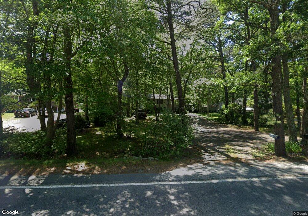
1691 State Rd Plymouth, MA 02360
Estimated Value: $542,000 - $595,000
3
Beds
1
Bath
1,758
Sq Ft
$323/Sq Ft
Est. Value
About This Home
This home is located at 1691 State Rd, Plymouth, MA 02360 and is currently estimated at $568,548, approximately $323 per square foot. 1691 State Rd is a home located in Plymouth County with nearby schools including Indian Brook, Plymouth South Middle School, and Plymouth South High School.
Ownership History
Date
Name
Owned For
Owner Type
Purchase Details
Closed on
Mar 24, 2015
Sold by
Laitinen Elizabeth C
Bought by
Elizabeth C Laitinen T C and Elizabeth Laitinen
Current Estimated Value
Purchase Details
Closed on
Jul 8, 1982
Bought by
Elizabeth C Laitinen T
Create a Home Valuation Report for This Property
The Home Valuation Report is an in-depth analysis detailing your home's value as well as a comparison with similar homes in the area
Home Values in the Area
Average Home Value in this Area
Purchase History
| Date | Buyer | Sale Price | Title Company |
|---|---|---|---|
| Elizabeth C Laitinen T C | -- | -- | |
| Elizabeth C Laitinen T | -- | -- |
Source: Public Records
Mortgage History
| Date | Status | Borrower | Loan Amount |
|---|---|---|---|
| Previous Owner | Elizabeth C Laitinen T | $107,775 | |
| Previous Owner | Elizabeth C Laitinen T | $49,000 | |
| Previous Owner | Elizabeth C Laitinen T | $18,000 |
Source: Public Records
Tax History Compared to Growth
Tax History
| Year | Tax Paid | Tax Assessment Tax Assessment Total Assessment is a certain percentage of the fair market value that is determined by local assessors to be the total taxable value of land and additions on the property. | Land | Improvement |
|---|---|---|---|---|
| 2025 | $5,417 | $426,900 | $202,500 | $224,400 |
| 2024 | $5,084 | $395,000 | $182,500 | $212,500 |
| 2023 | $4,922 | $359,000 | $167,500 | $191,500 |
| 2022 | $4,853 | $314,500 | $157,300 | $157,200 |
| 2021 | $4,736 | $293,100 | $157,300 | $135,800 |
| 2020 | $4,755 | $290,800 | $157,300 | $133,500 |
| 2019 | $4,615 | $279,000 | $147,300 | $131,700 |
| 2018 | $4,316 | $262,200 | $132,300 | $129,900 |
| 2017 | $4,177 | $251,900 | $132,300 | $119,600 |
| 2016 | $3,939 | $242,100 | $122,300 | $119,800 |
| 2015 | $3,686 | $237,200 | $117,300 | $119,900 |
| 2014 | $3,601 | $238,000 | $122,300 | $115,700 |
Source: Public Records
Map
Nearby Homes
- 296 Center Hill Rd
- 322R Center Hill Rd
- 47 Pleasant Harbour Rd
- 30 Nautical Way
- 35 Nautical Way
- 1924 State Rd
- 43 Pond View Cir
- 475 Ship Pond Rd
- 451 Ship Pond Rd
- 12 Mayflower Dr
- 35 Trask Rd
- 25 Great Woods Rd
- 128 Pine Mountain Dr
- 5 Trask Rd
- 107 Shore Dr
- 2021 State Rd
- 27 Ocean Walk Dr Unit 204
- 32 Shore Dr
- 26 Goelette Dr
- 1029 Old Sandwich Rd