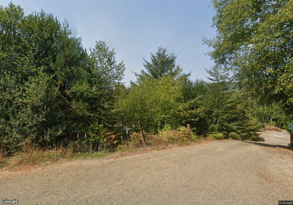
Estimated Value: $586,000 - $722,284
3
Beds
3
Baths
2,763
Sq Ft
$236/Sq Ft
Est. Value
About This Home
This home is located at 16911 Mt Hebo Rd, Hebo, OR 97122 and is currently estimated at $651,428, approximately $235 per square foot. 16911 Mt Hebo Rd is a home with nearby schools including Nestucca K-8 School and Nestucca High School.
Ownership History
Date
Name
Owned For
Owner Type
Purchase Details
Closed on
Sep 11, 2006
Sold by
Sherman Maxson J and Sherman Lynda S
Bought by
Sherman Maxson J and Sherman Lynda S
Current Estimated Value
Purchase Details
Closed on
Oct 10, 2005
Sold by
Sherman Maxson J and Sherman Lynda S
Bought by
Sherman Maxson J and Sherman Lynda S
Home Financials for this Owner
Home Financials are based on the most recent Mortgage that was taken out on this home.
Original Mortgage
$296,000
Interest Rate
8.87%
Mortgage Type
New Conventional
Create a Home Valuation Report for This Property
The Home Valuation Report is an in-depth analysis detailing your home's value as well as a comparison with similar homes in the area
Home Values in the Area
Average Home Value in this Area
Purchase History
| Date | Buyer | Sale Price | Title Company |
|---|---|---|---|
| Sherman Maxson J | -- | First American | |
| Sauer Michael | $1,000 | First American | |
| Sherman Maxson J | -- | Fidelity Natl Title Co Of Or |
Source: Public Records
Mortgage History
| Date | Status | Borrower | Loan Amount |
|---|---|---|---|
| Previous Owner | Sherman Maxson J | $296,000 |
Source: Public Records
Tax History Compared to Growth
Tax History
| Year | Tax Paid | Tax Assessment Tax Assessment Total Assessment is a certain percentage of the fair market value that is determined by local assessors to be the total taxable value of land and additions on the property. | Land | Improvement |
|---|---|---|---|---|
| 2024 | $3,959 | $342,400 | $44,230 | $298,170 |
| 2023 | $3,931 | $332,430 | $42,940 | $289,490 |
| 2022 | $3,788 | $322,750 | $41,690 | $281,060 |
| 2021 | $3,680 | $313,350 | $40,470 | $272,880 |
| 2020 | $3,593 | $304,230 | $39,290 | $264,940 |
| 2019 | $3,451 | $295,370 | $38,150 | $257,220 |
| 2018 | $3,165 | $286,770 | $37,040 | $249,730 |
| 2017 | $2,825 | $278,420 | $35,960 | $242,460 |
| 2016 | $2,745 | $270,320 | $34,910 | $235,410 |
| 2015 | $2,690 | $262,450 | $33,900 | $228,550 |
| 2014 | $2,625 | $254,810 | $32,910 | $221,900 |
| 2013 | -- | $247,390 | $31,950 | $215,440 |
Source: Public Records
Map
Nearby Homes
- 31165 Oregon 22
- 31165 Highway 22
- TL 600 Oregon 22
- 14840 Condor Rd
- 0 Farmer Creek Rd Unit 1000 111923028
- 1000,1100 & 1200 Farmer Creek Rd
- Lot 1503 Tax Map #5s10050001503
- 701 U S 101 S
- TL#00200 U S 101 S
- TL #00701 U S 101 S
- 21675 U S 101 S
- 18595 Nestucca Dr
- 18600 Nestucca Dr
- 18999 Nestucca Dr
- 18485 Salmon Dr
- 25855 Chinook St
- 36200 Big Trout Rd
- 35495 Big Trout Rd
- 24275 Bunn Creek Rd
- 0 Resort Dr Unit 200ac 23160004
- 31003 Highway 101 S
- 31003 U S 101
- 31003 U S 101 S
- 31003 Highway 101 S
- 31015 Oregon 22
- 31005 Highway 22
- 31005 Oregon 22
- 31015 Highway 22
- 16905 Mt Hebo Rd
- 30900 Highway 101 S
- 31025 Oregon 22
- 0 Oregon 22 Unit TC-3471
- 0 Oregon 22 Unit 295617
- 0 Oregon 22 Unit 230942
- 0 Oregon 22 Unit 230949
- 0 Oregon 22 Unit 230940
- 0 Oregon 22 Unit 99-91194
- 0 Oregon 22 Unit 100 24-300
- 0 Oregon 22 Unit 100 24605598
- 0 Oregon 22 Unit 97-90103
